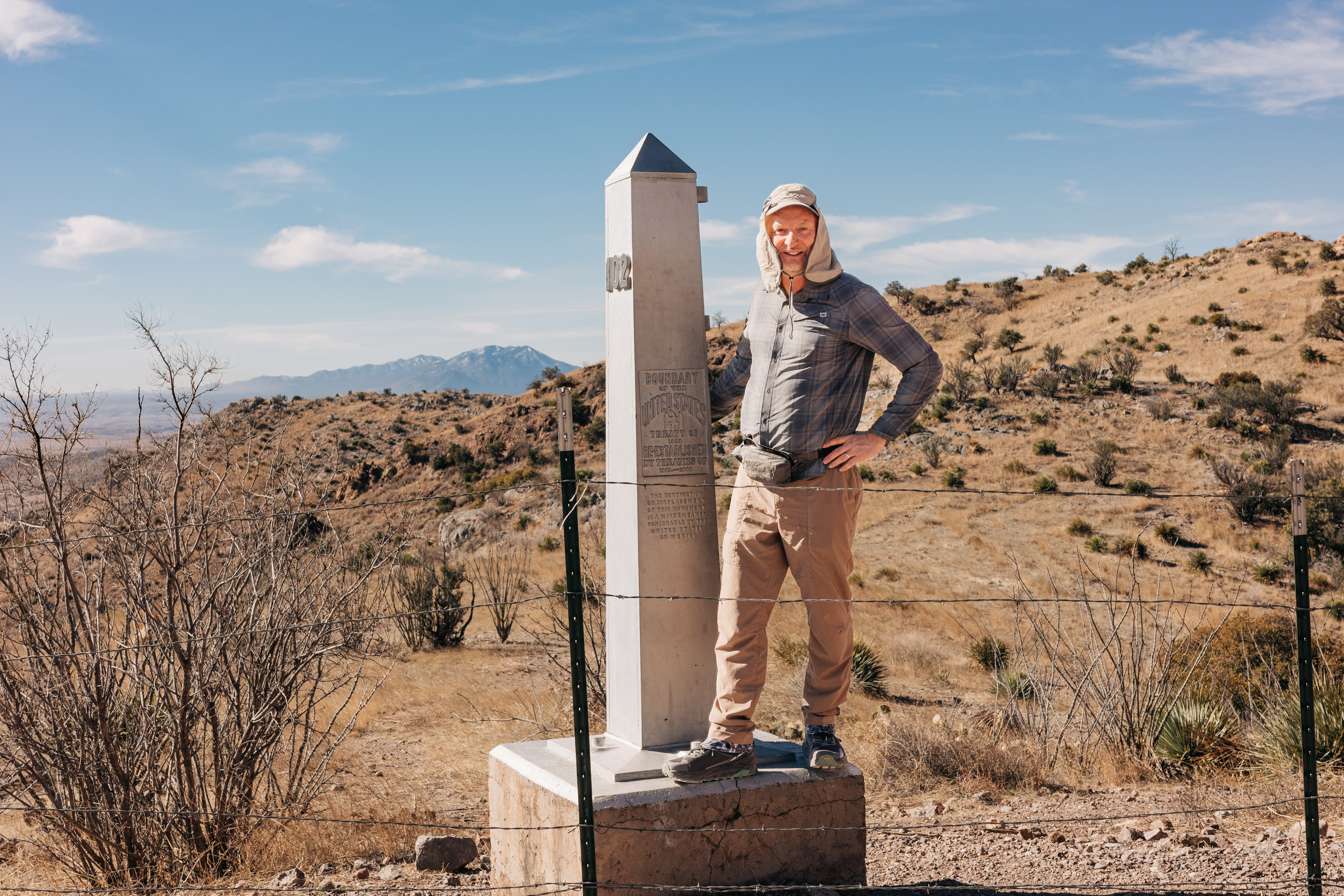
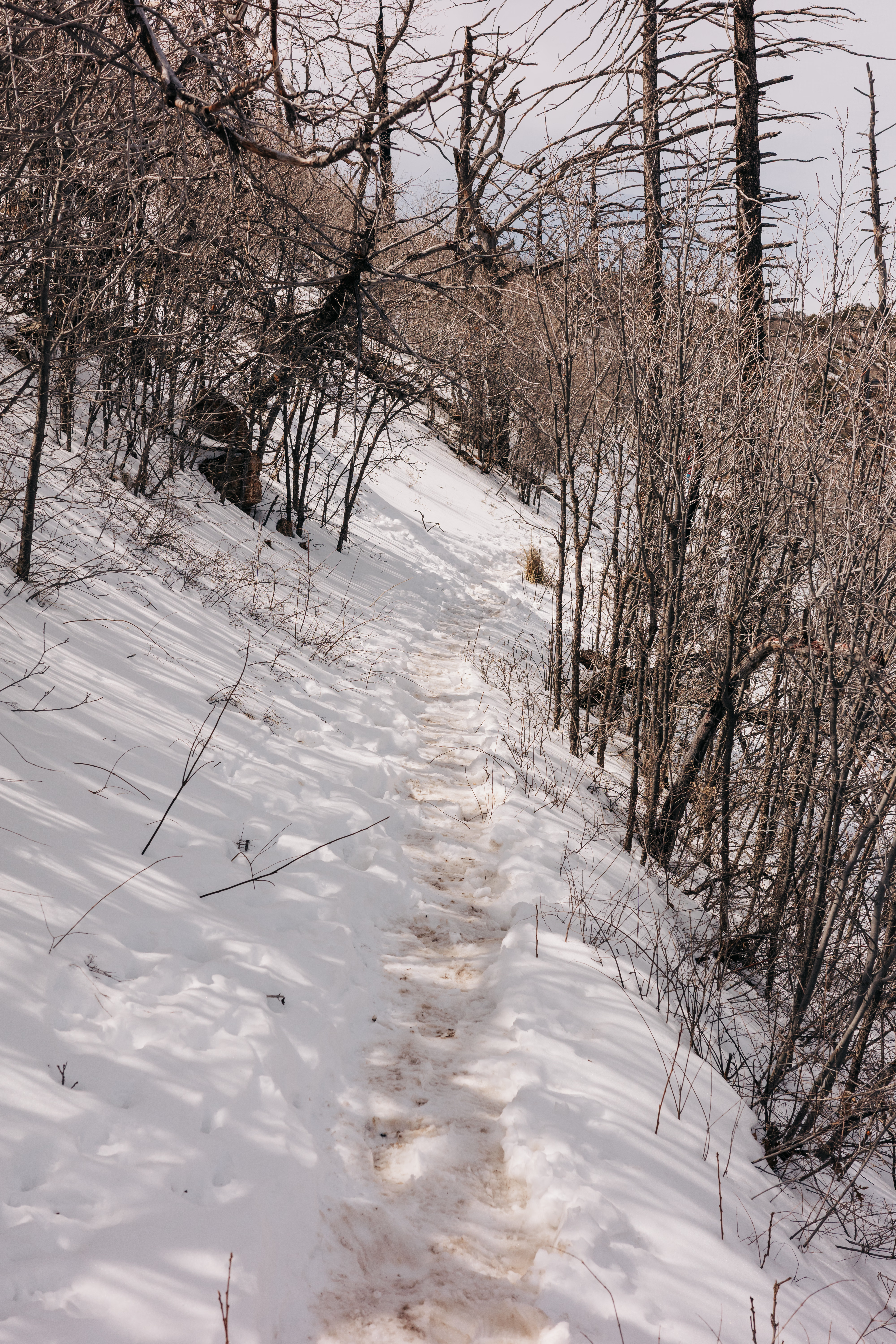
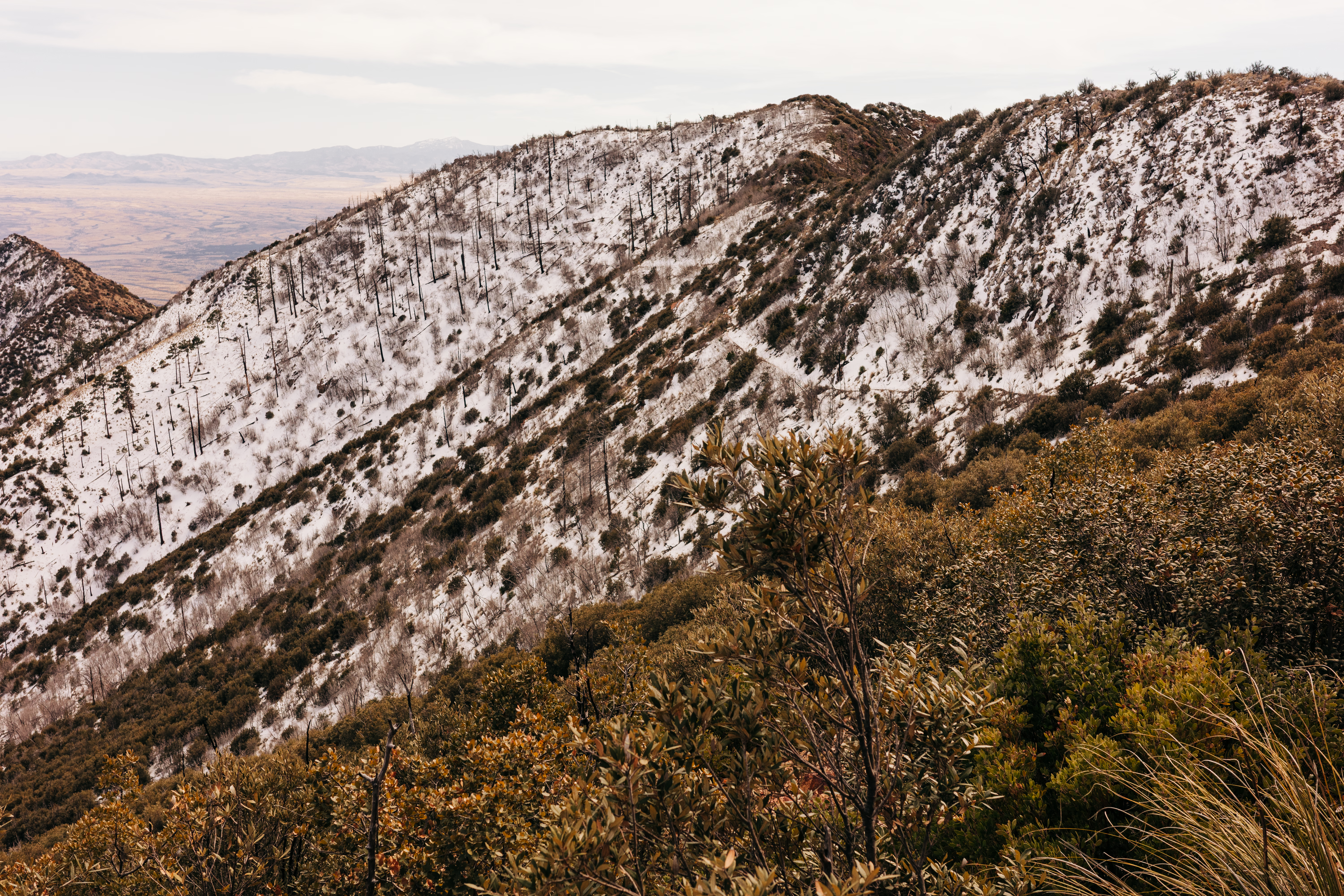
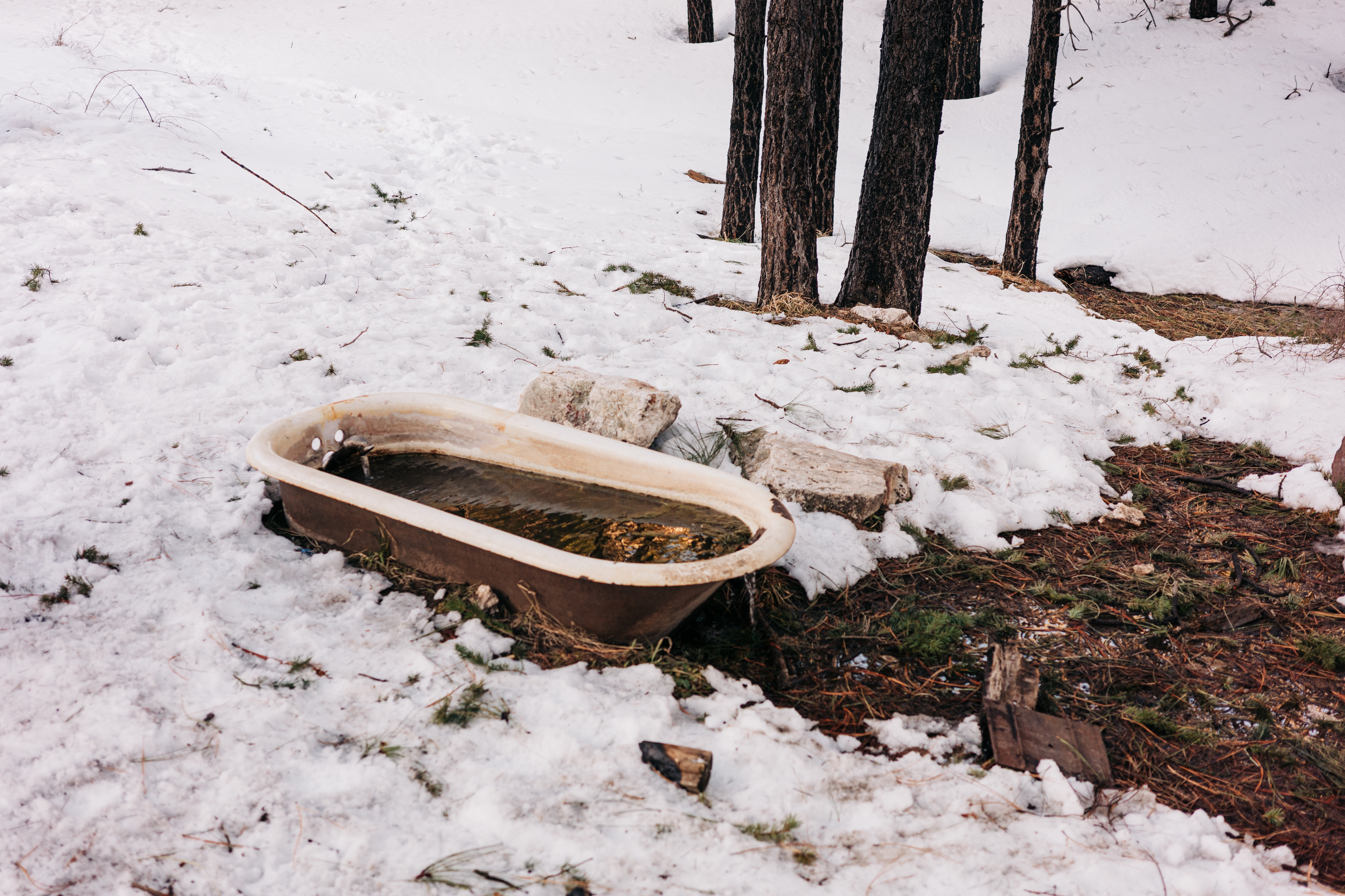
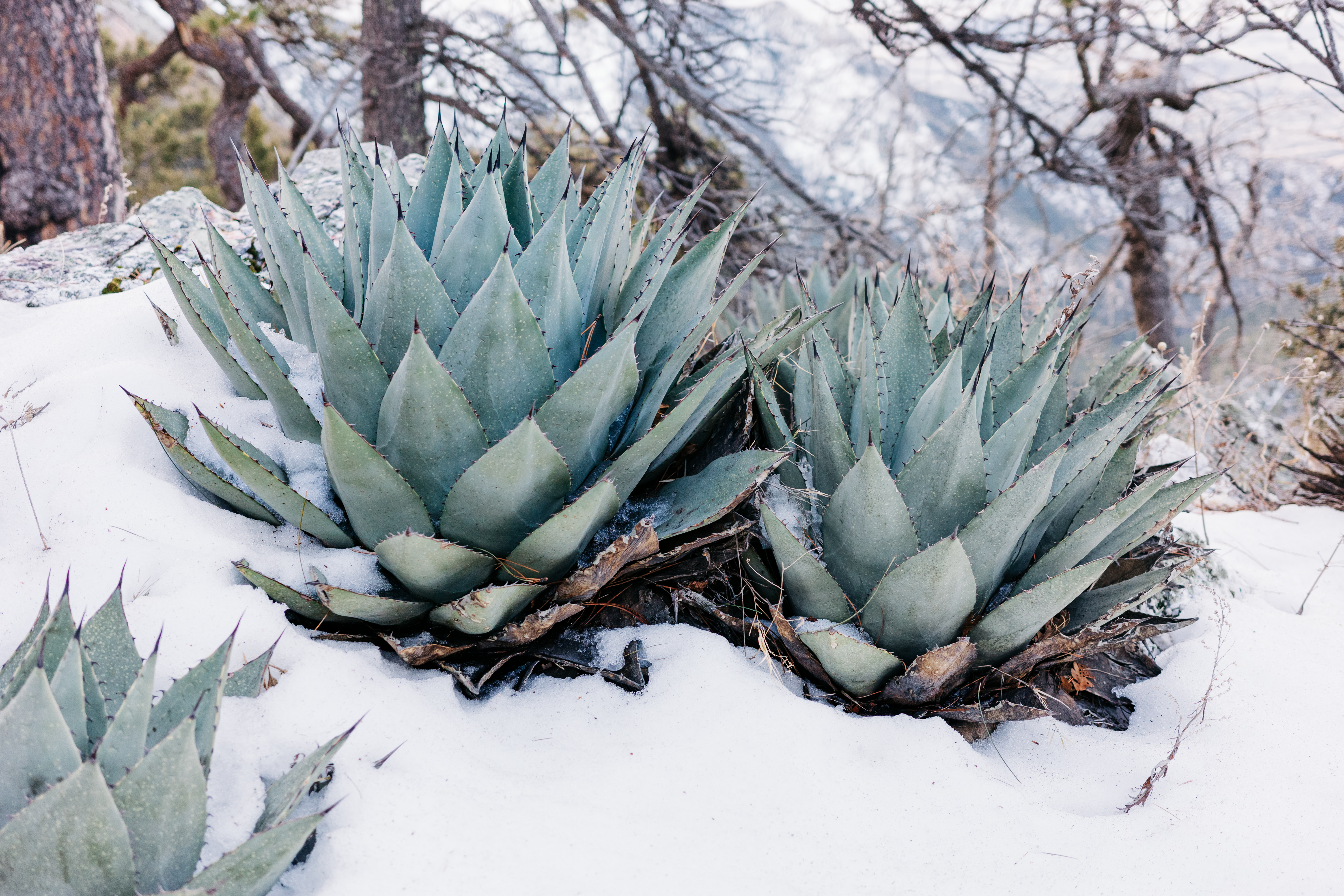
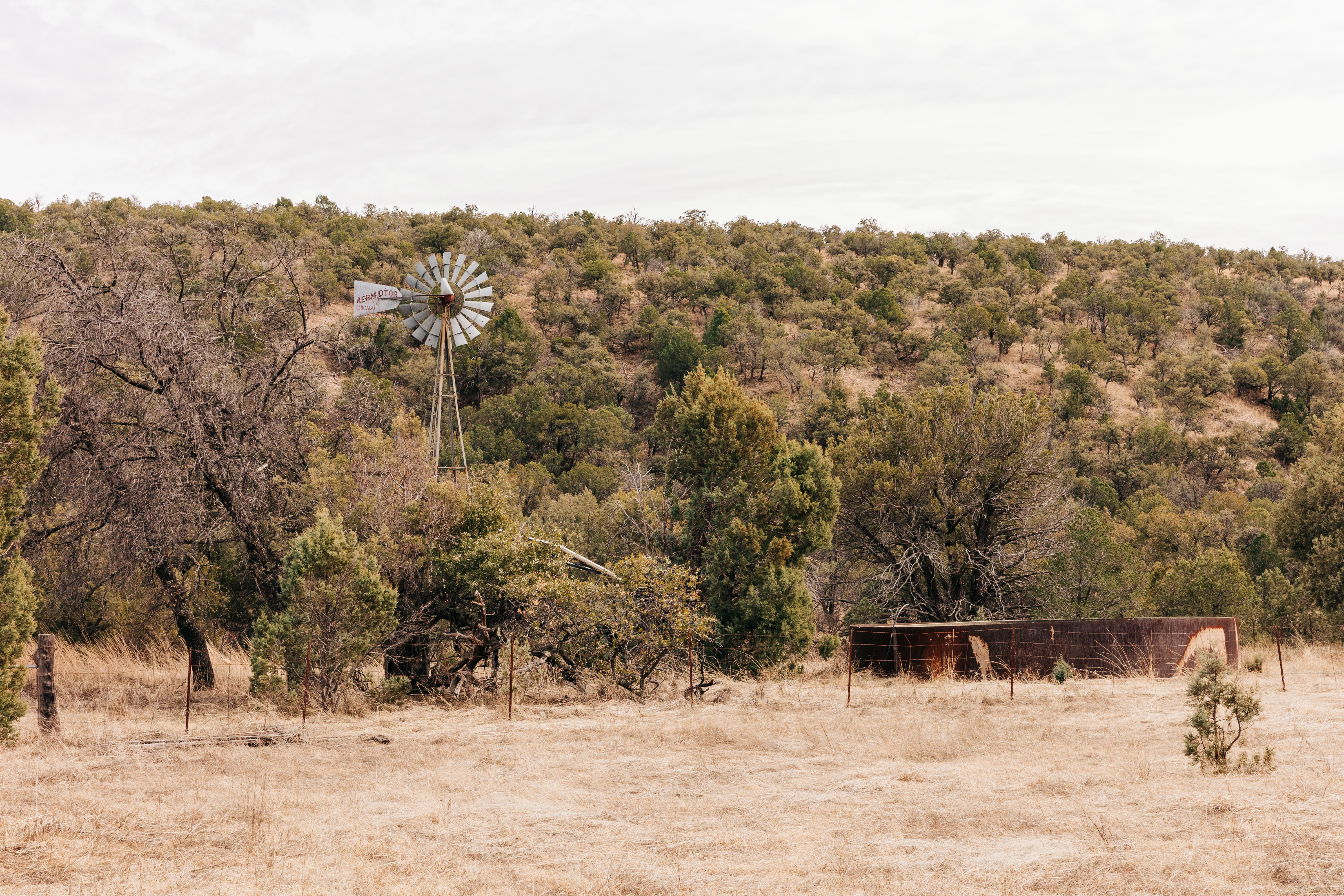
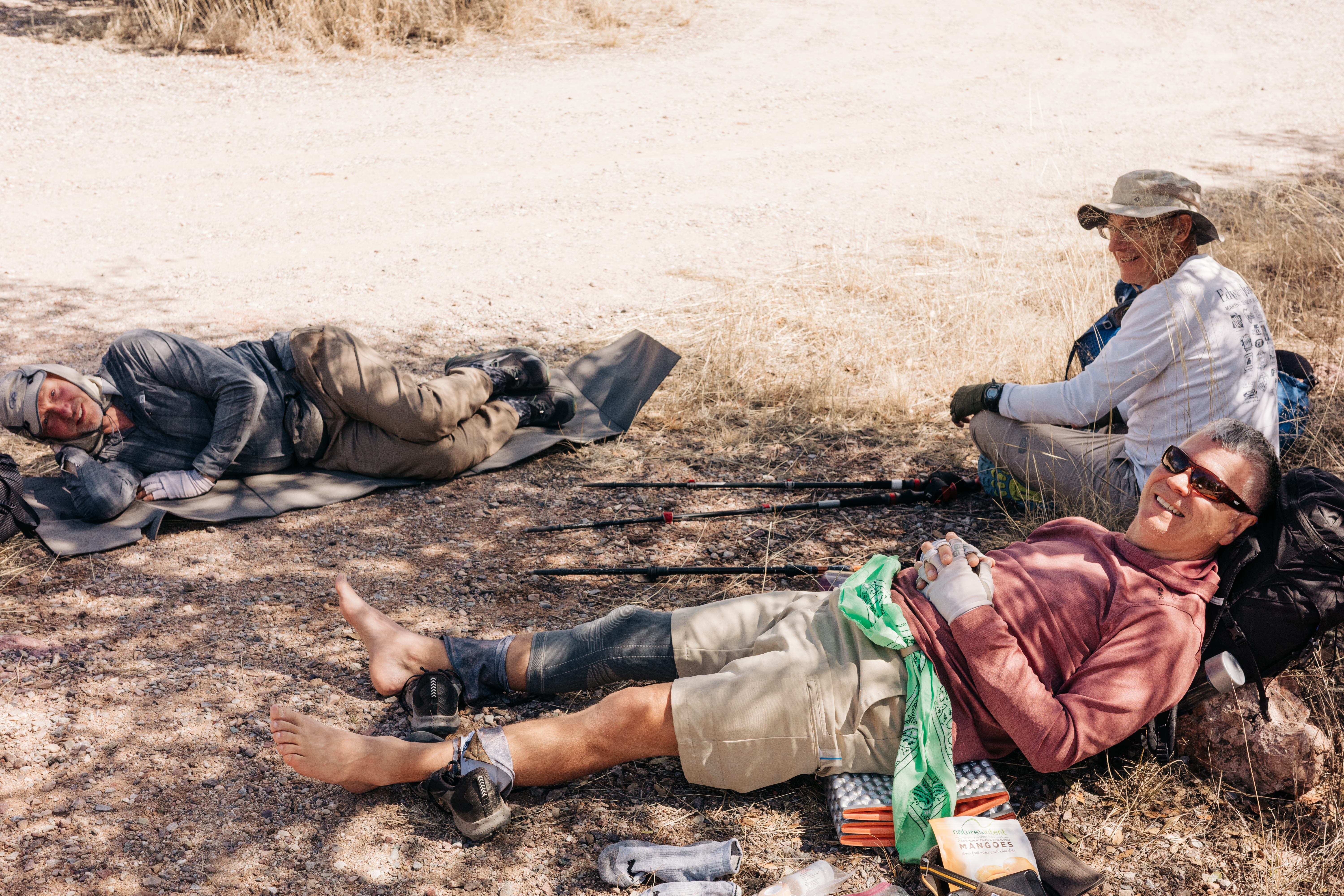
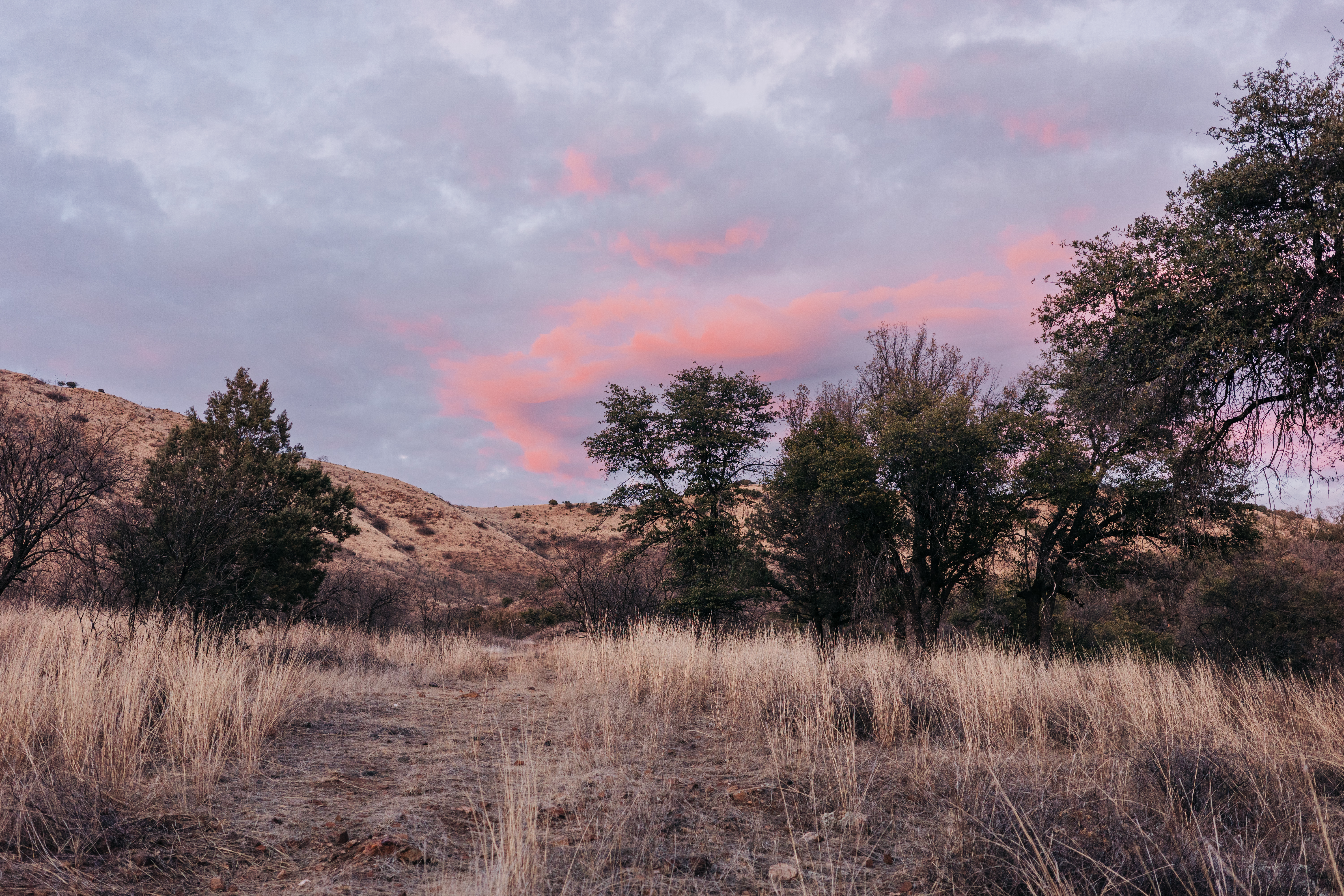
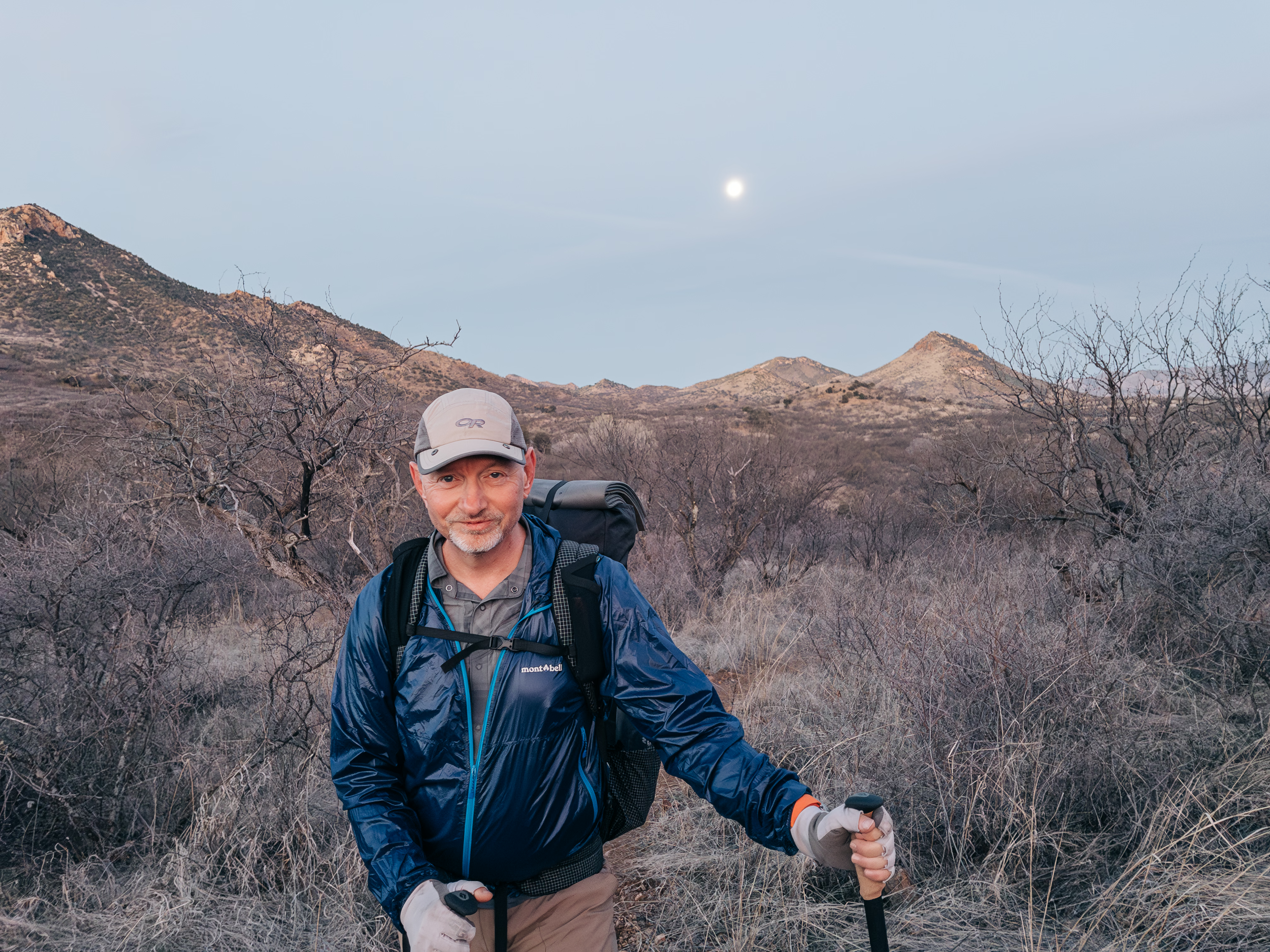
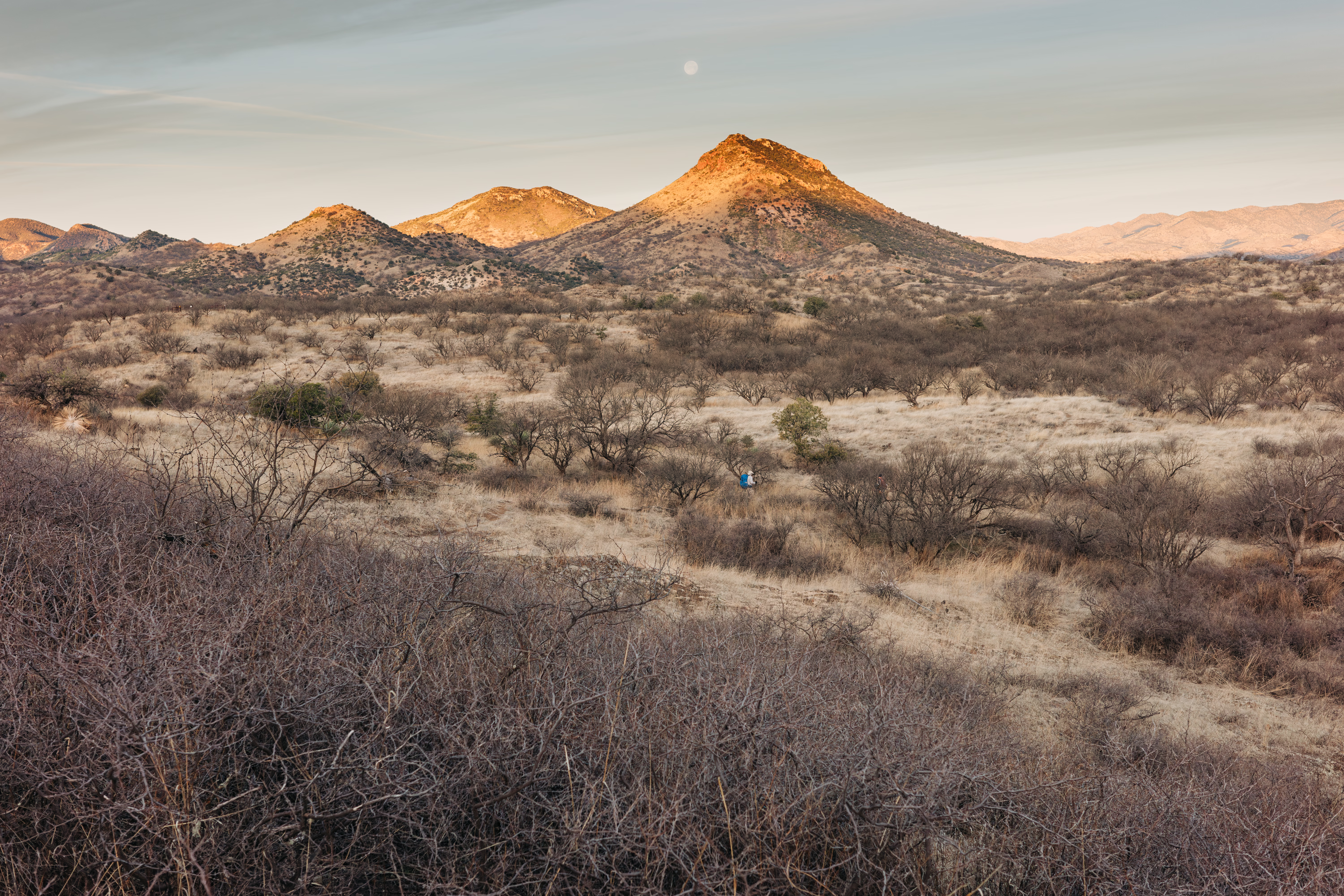
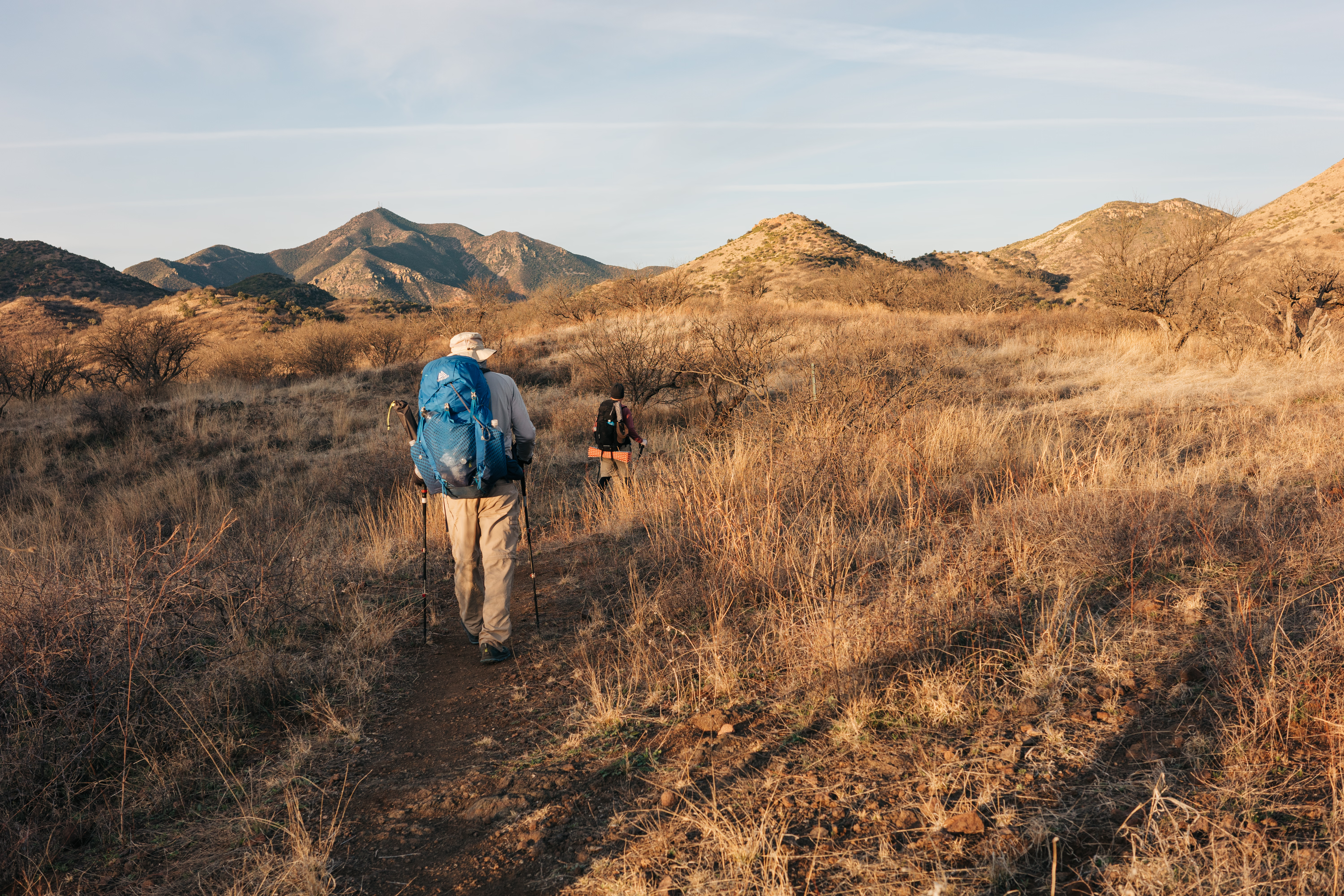
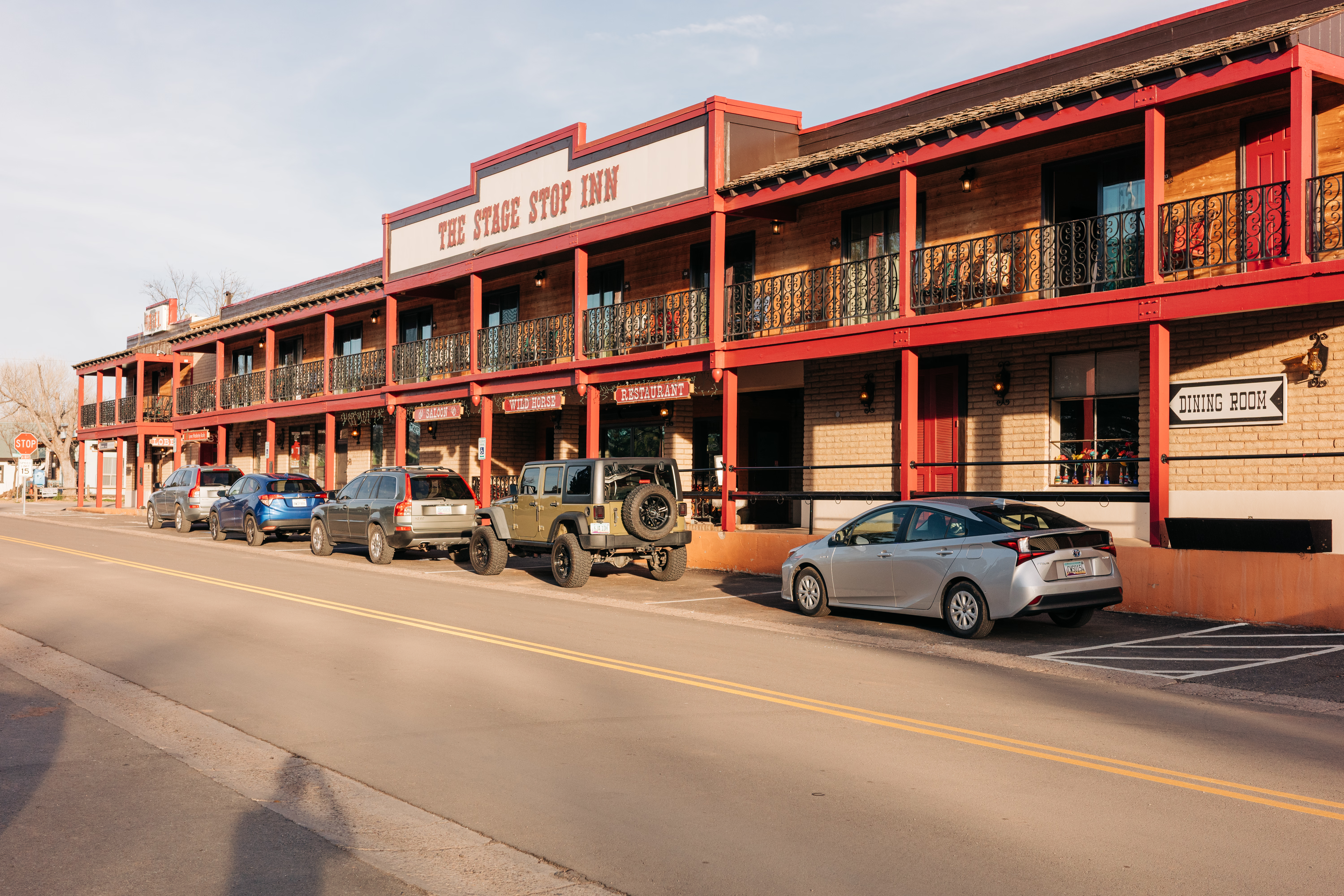
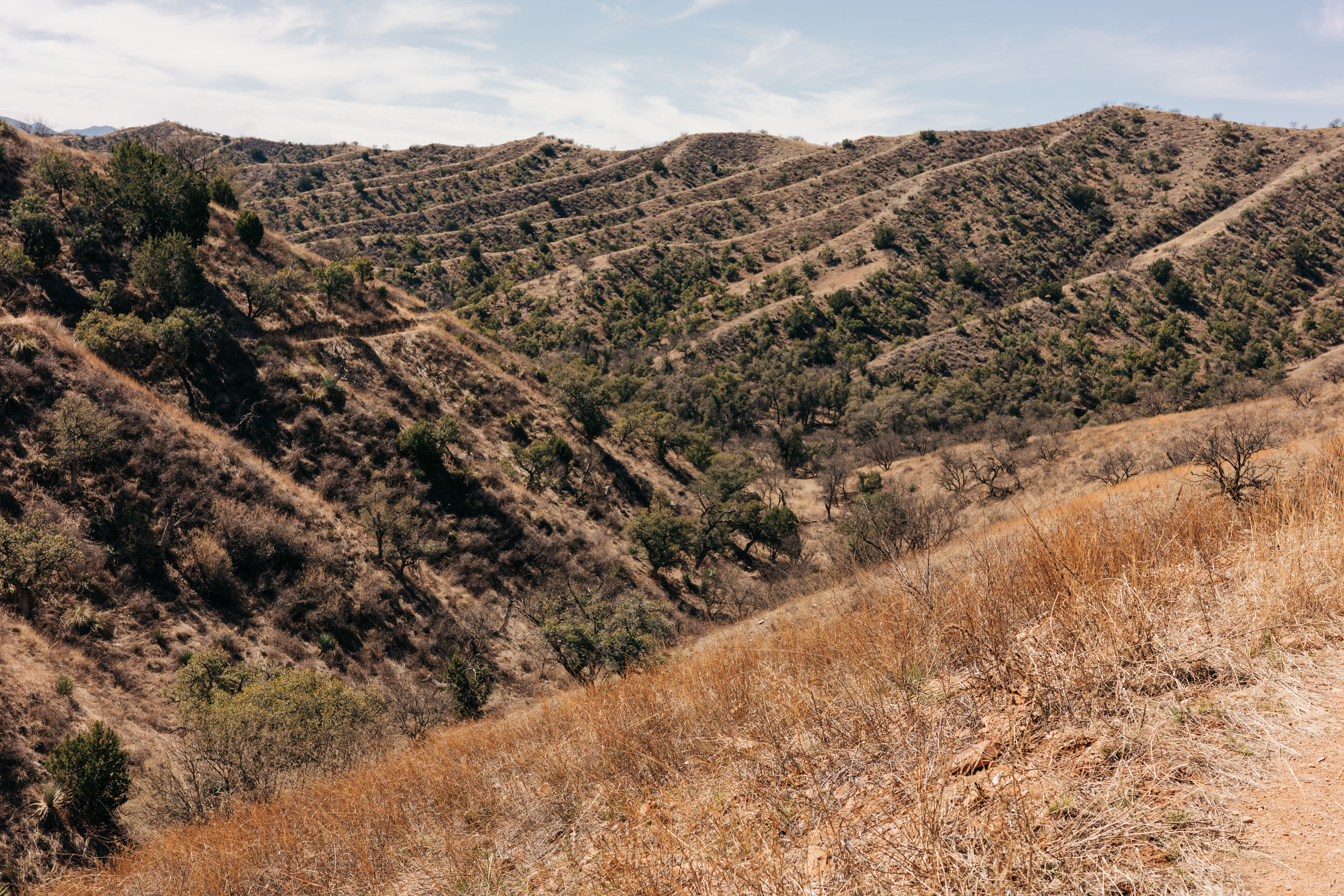
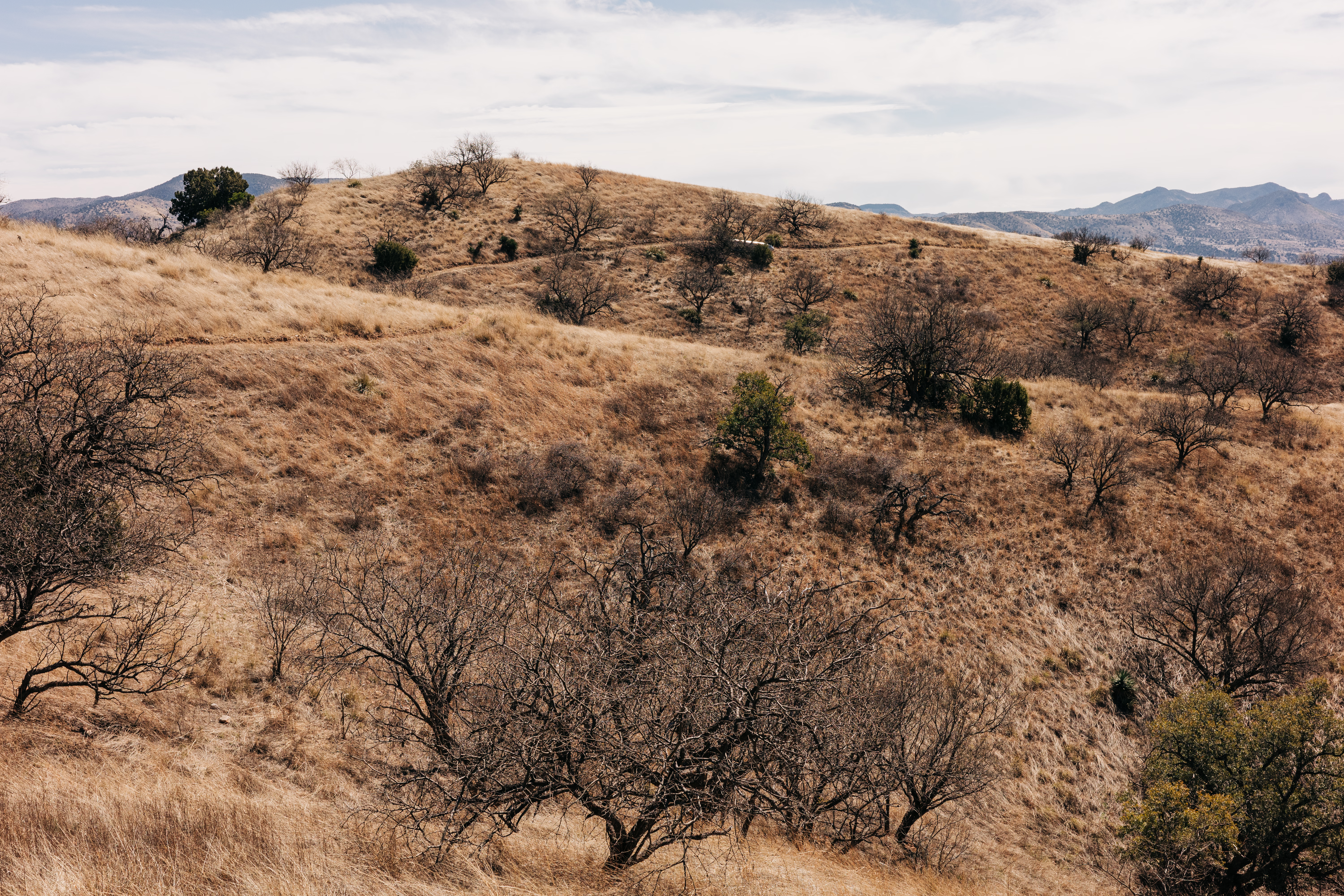
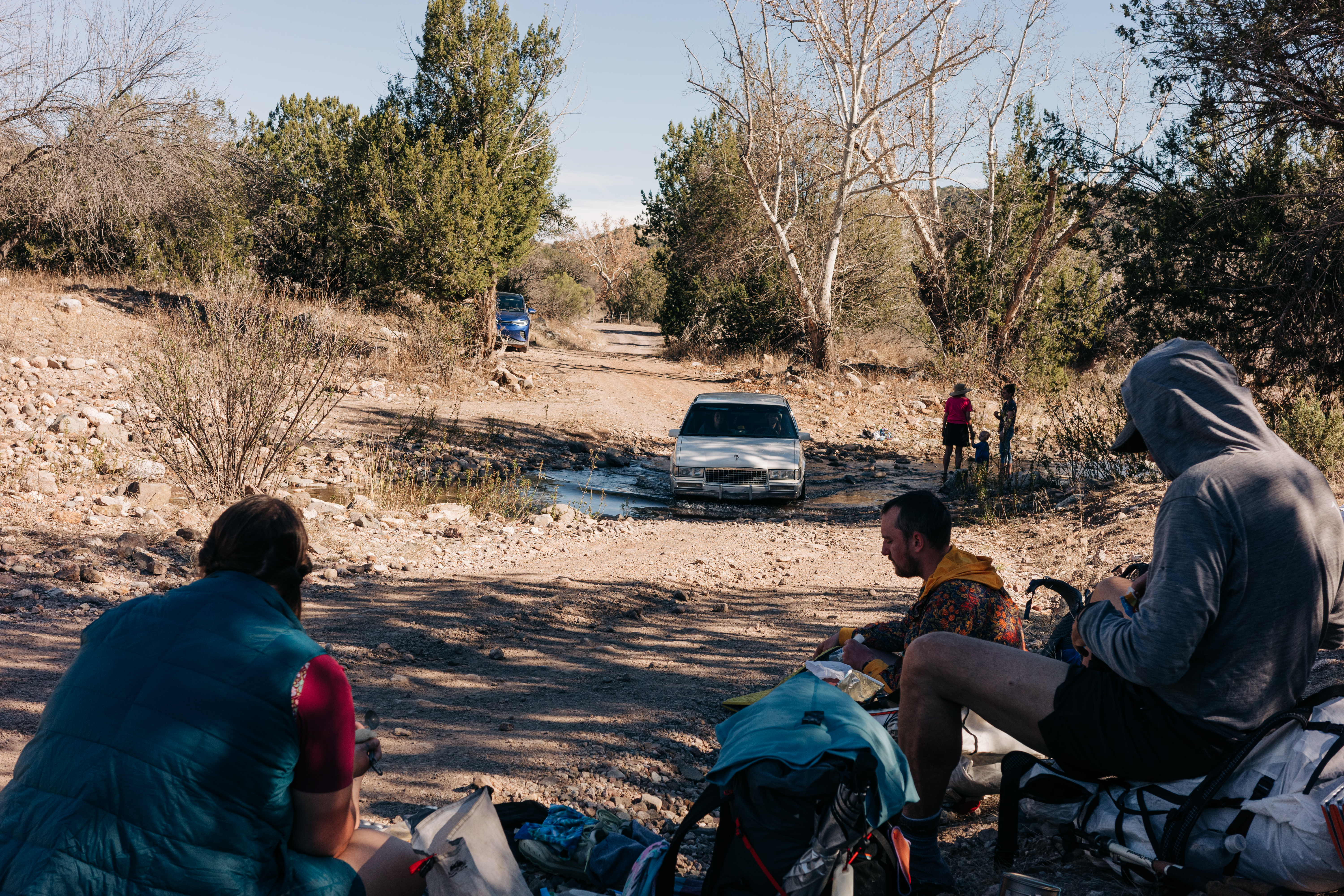
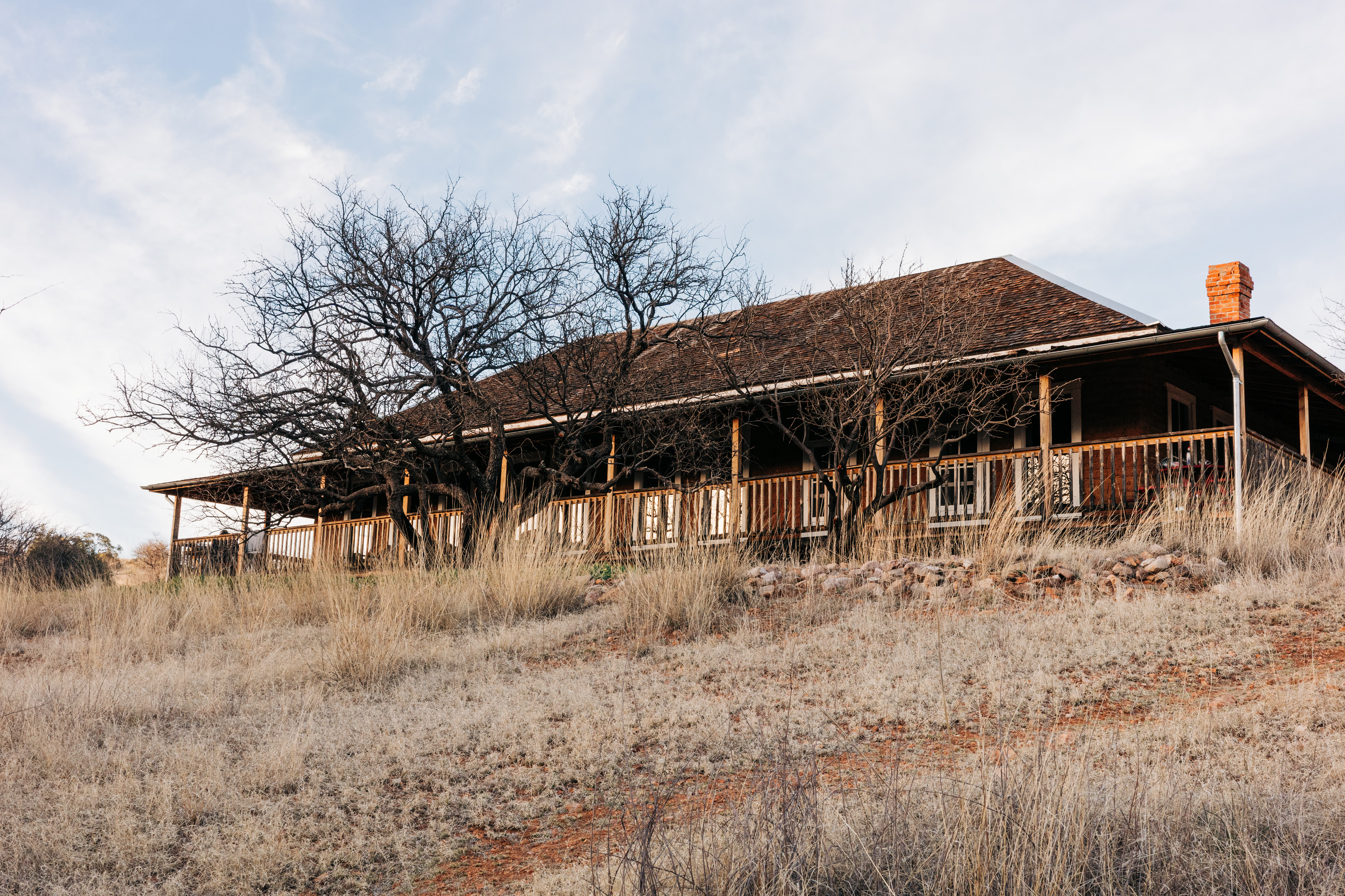
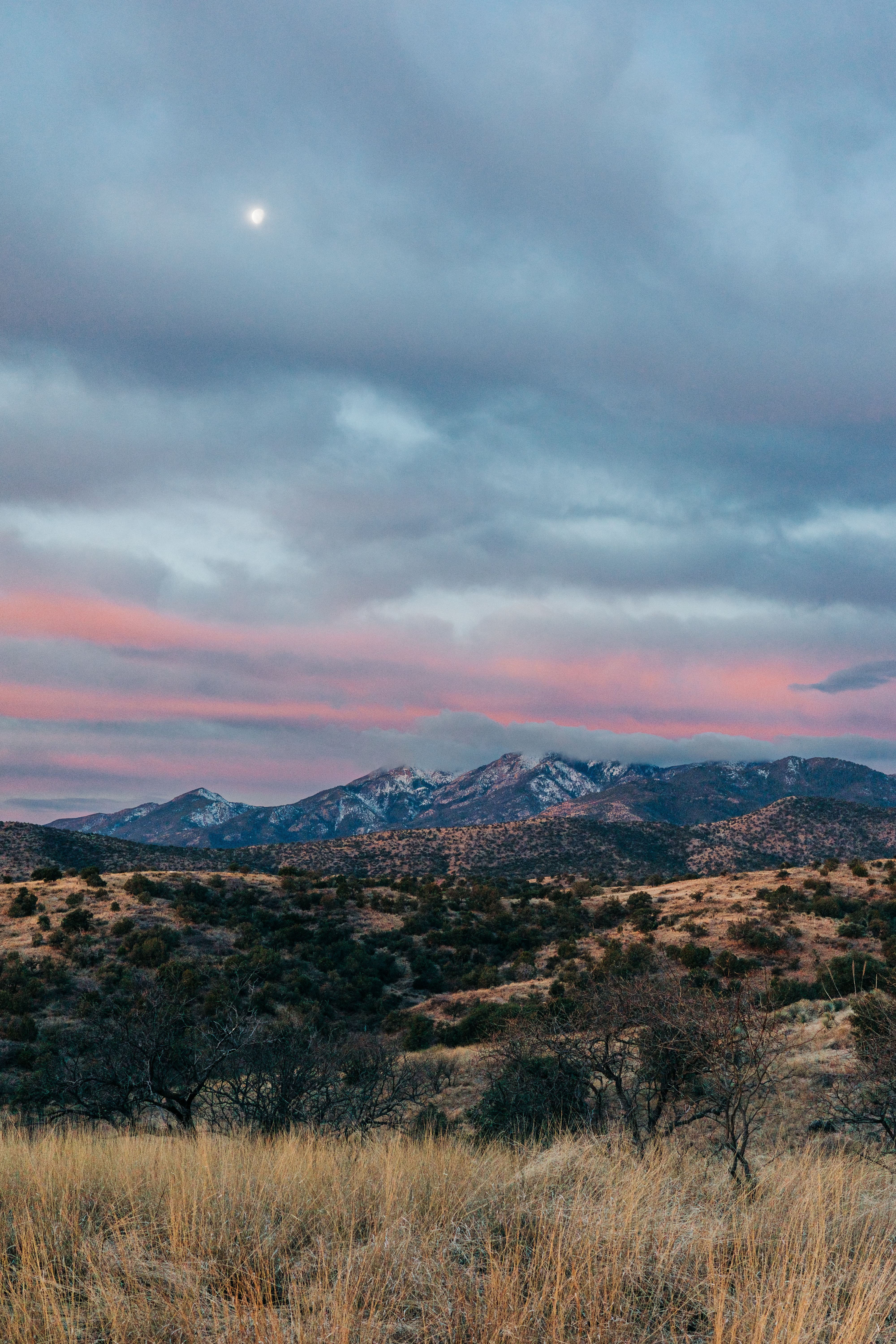
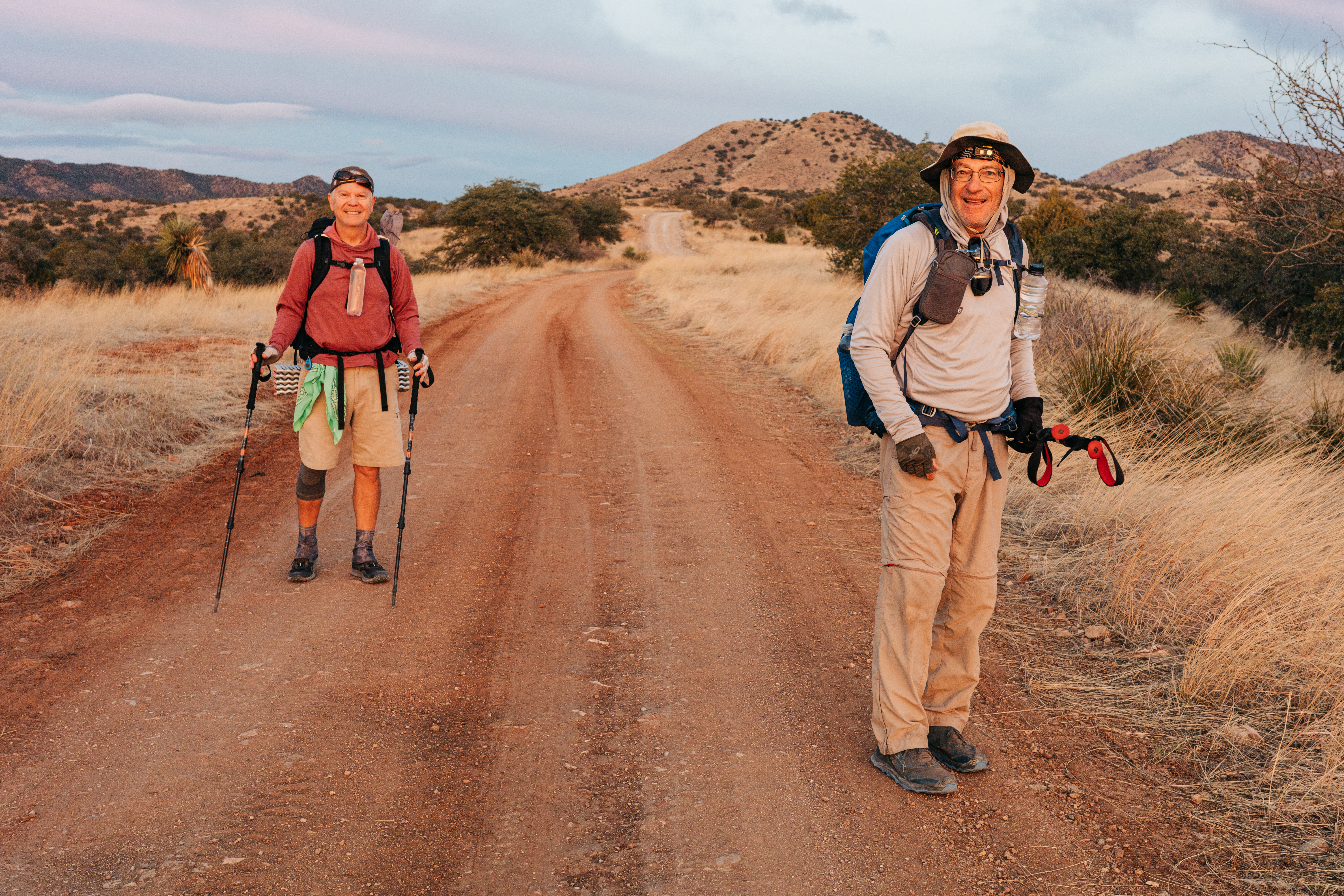
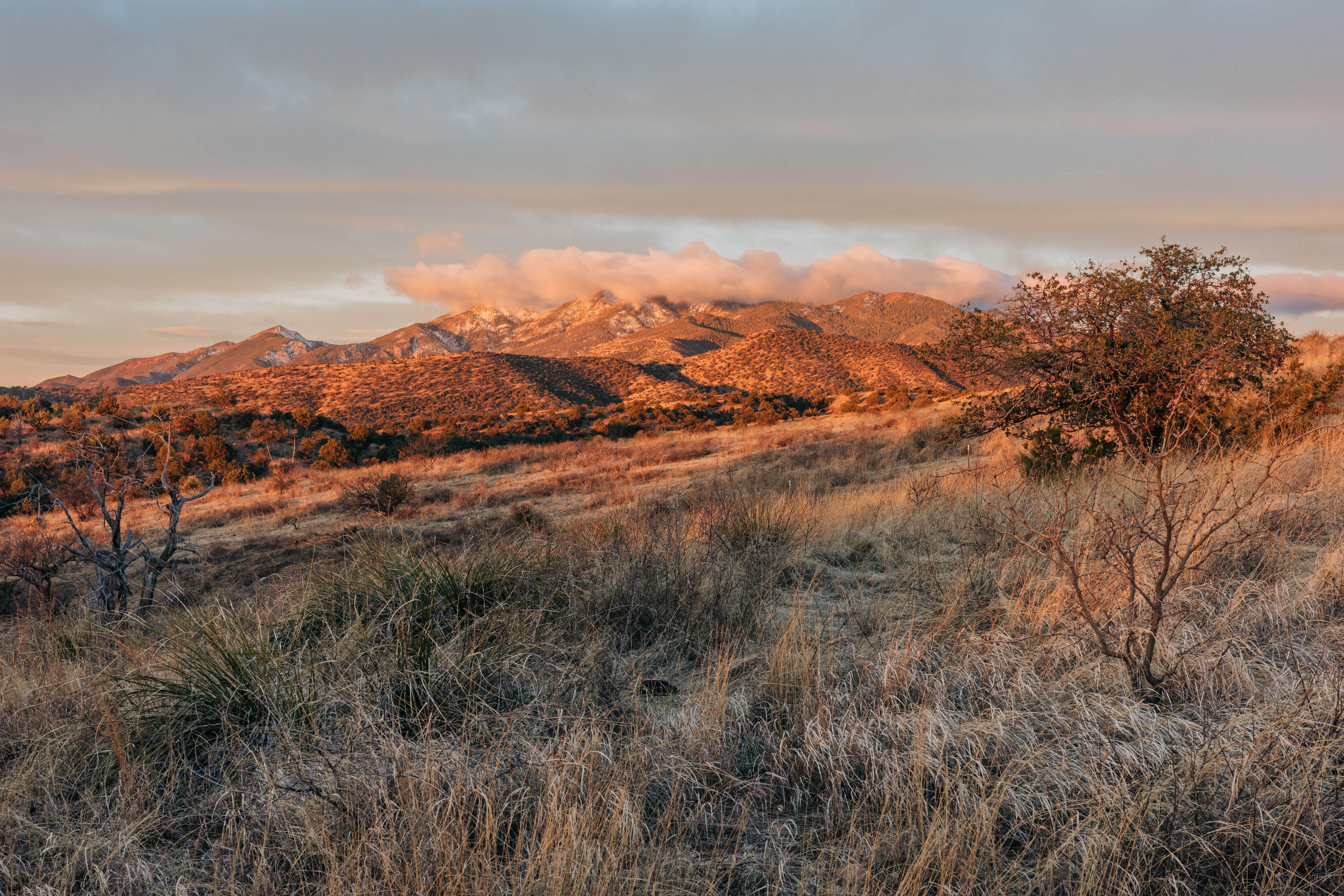
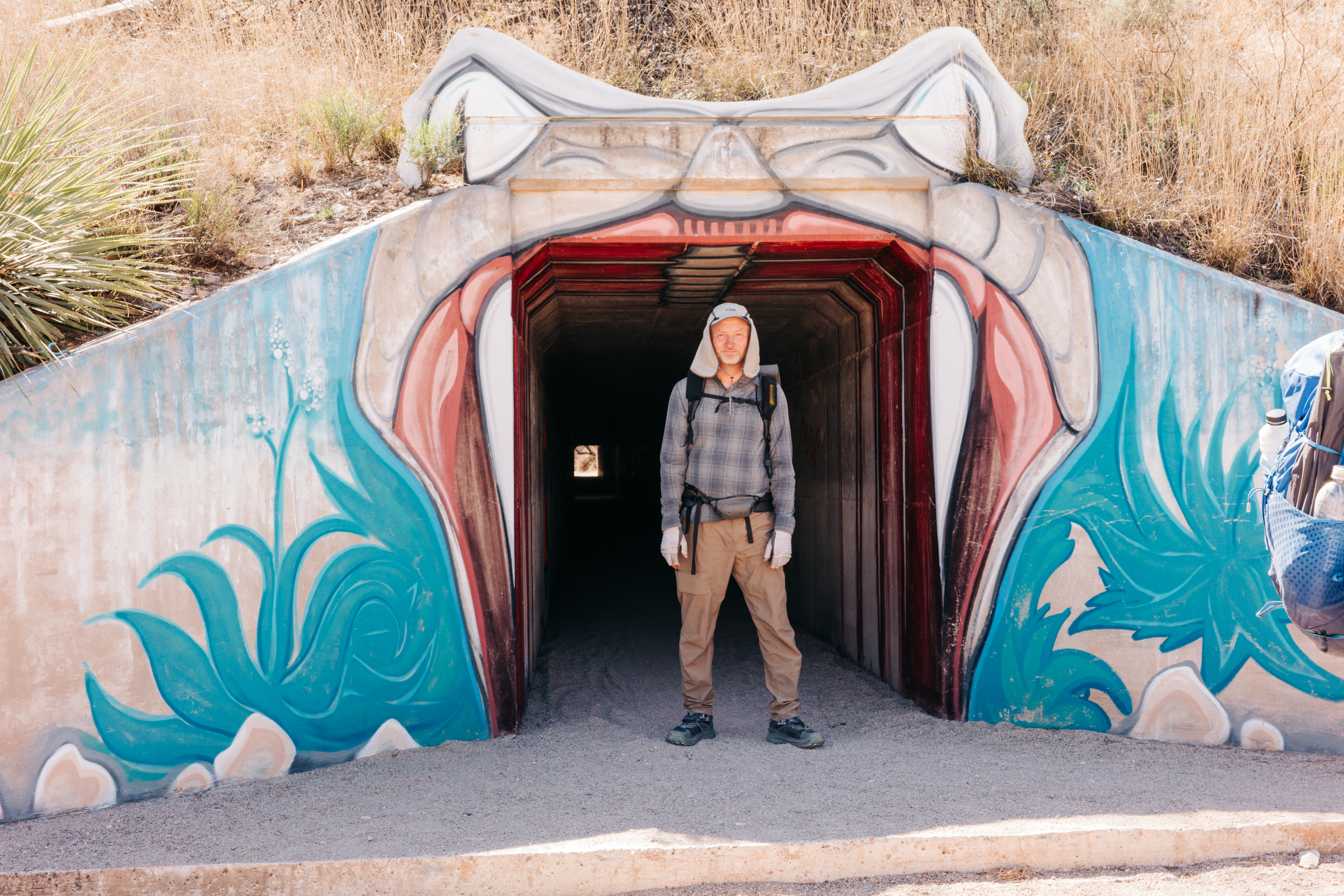
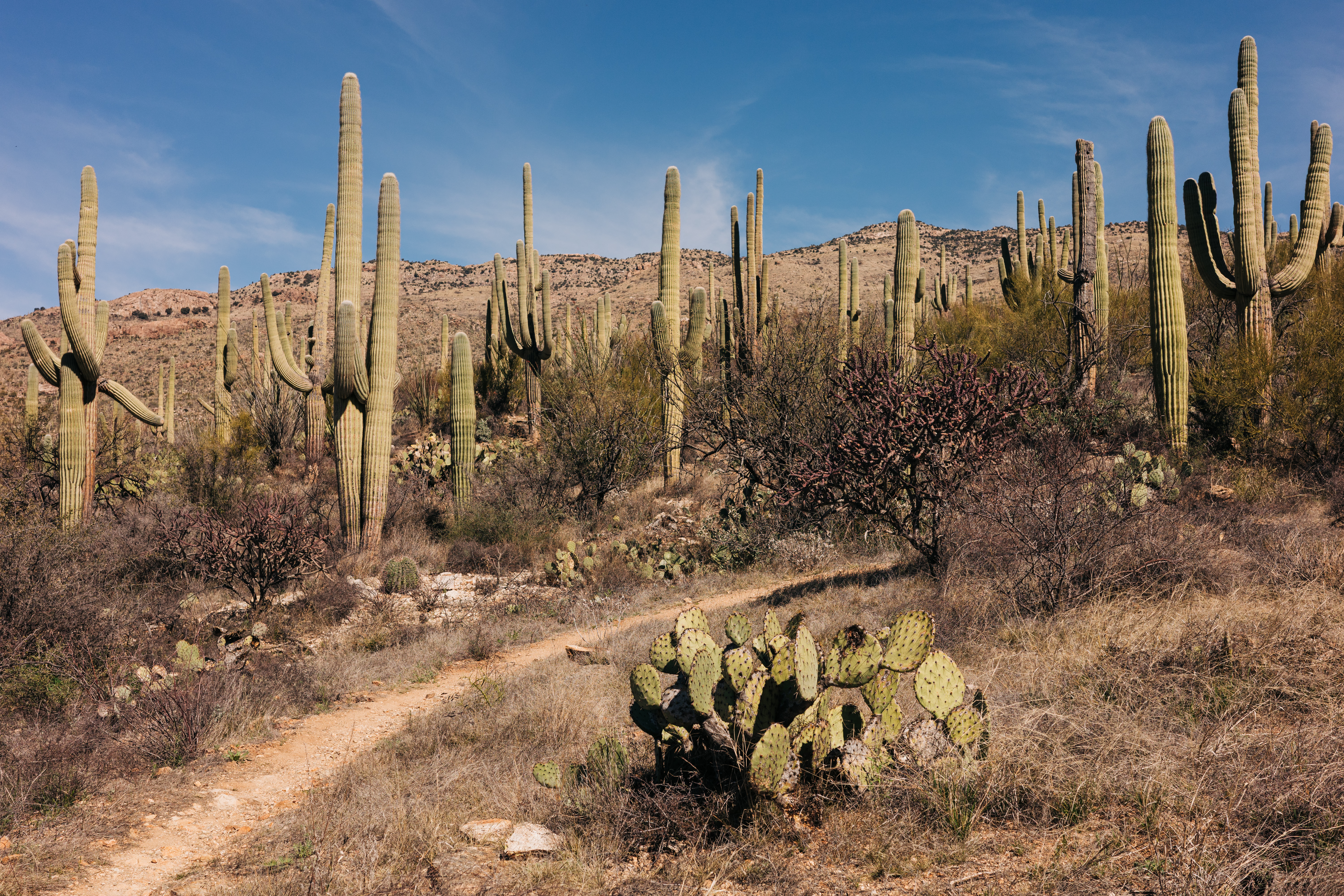
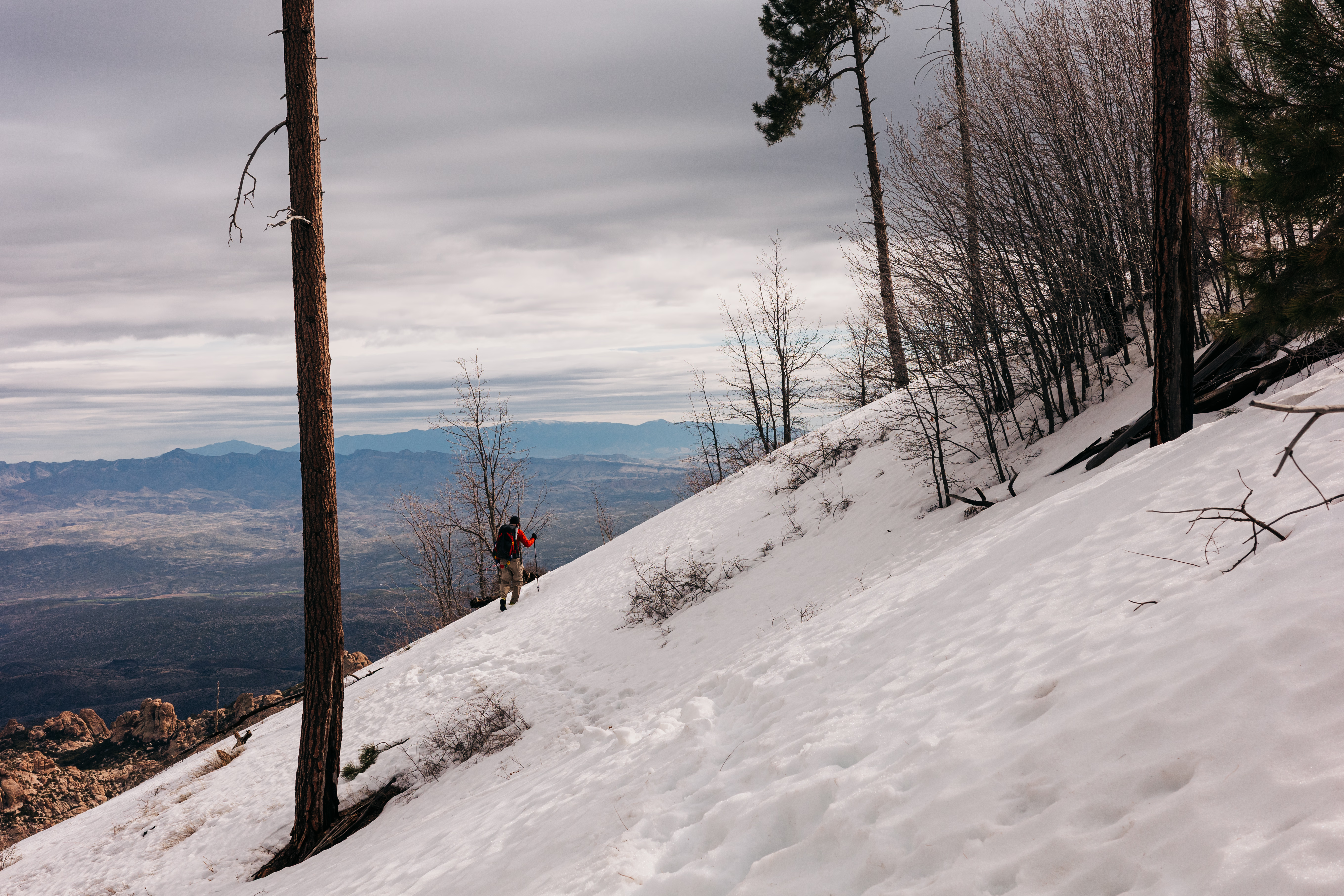
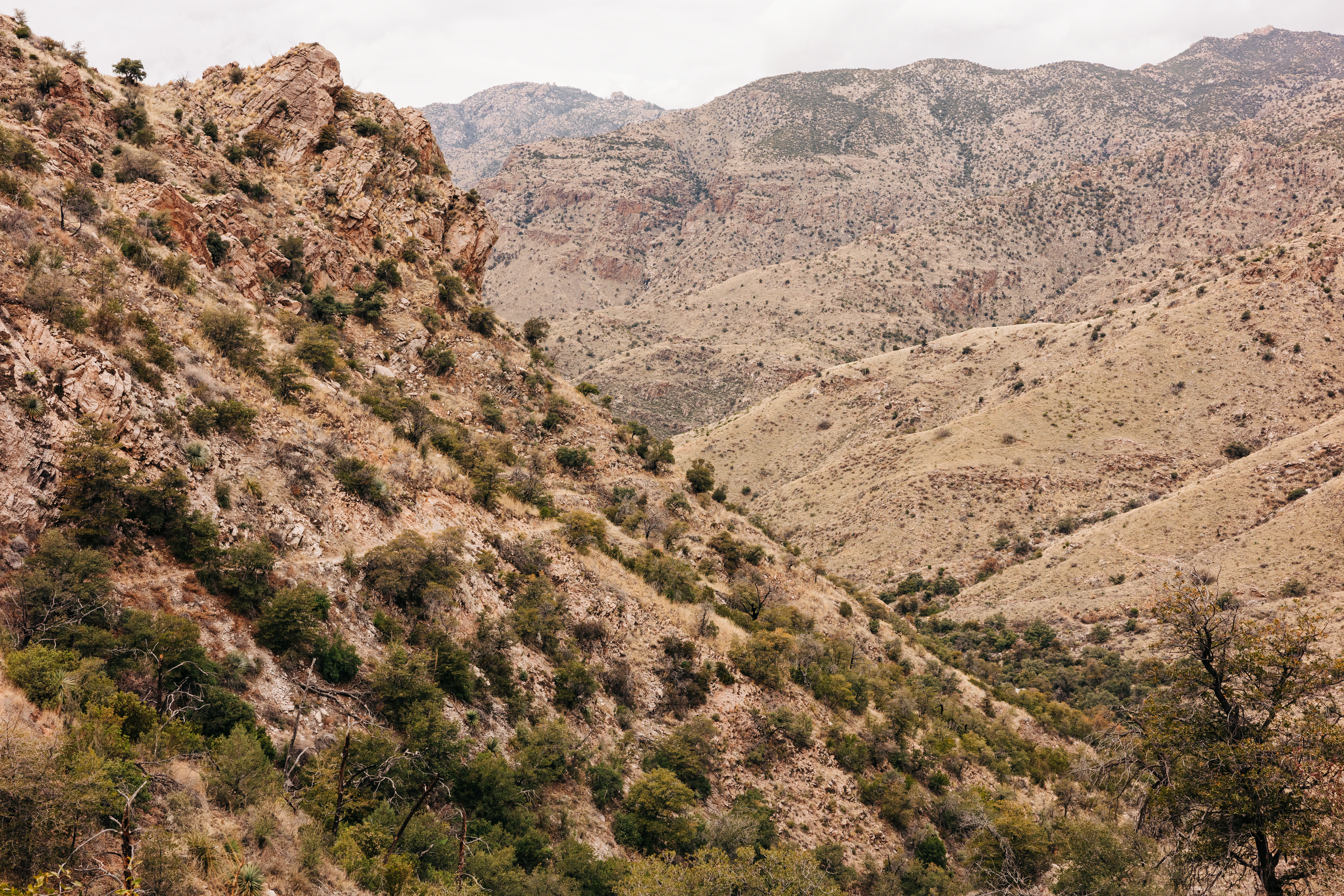
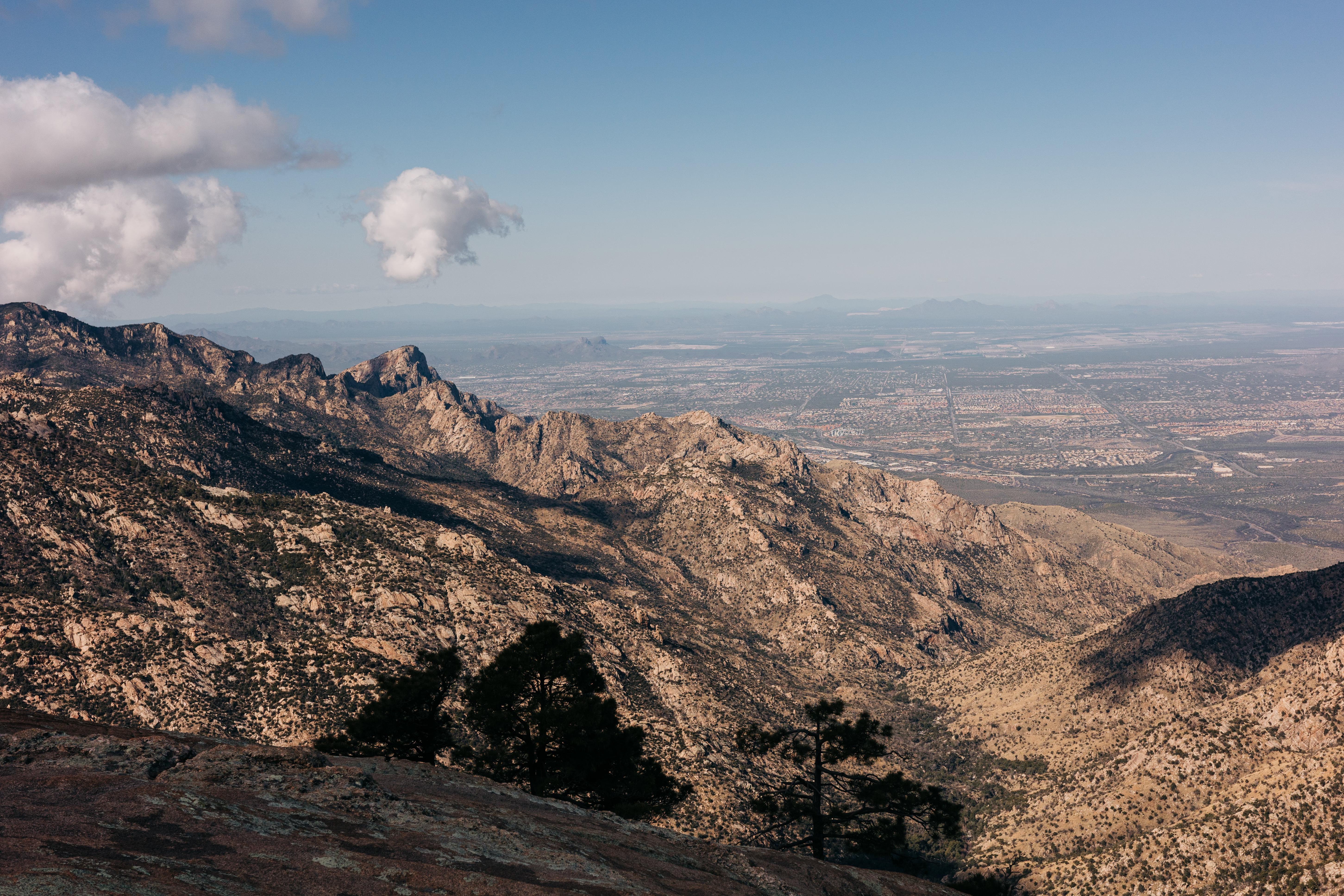
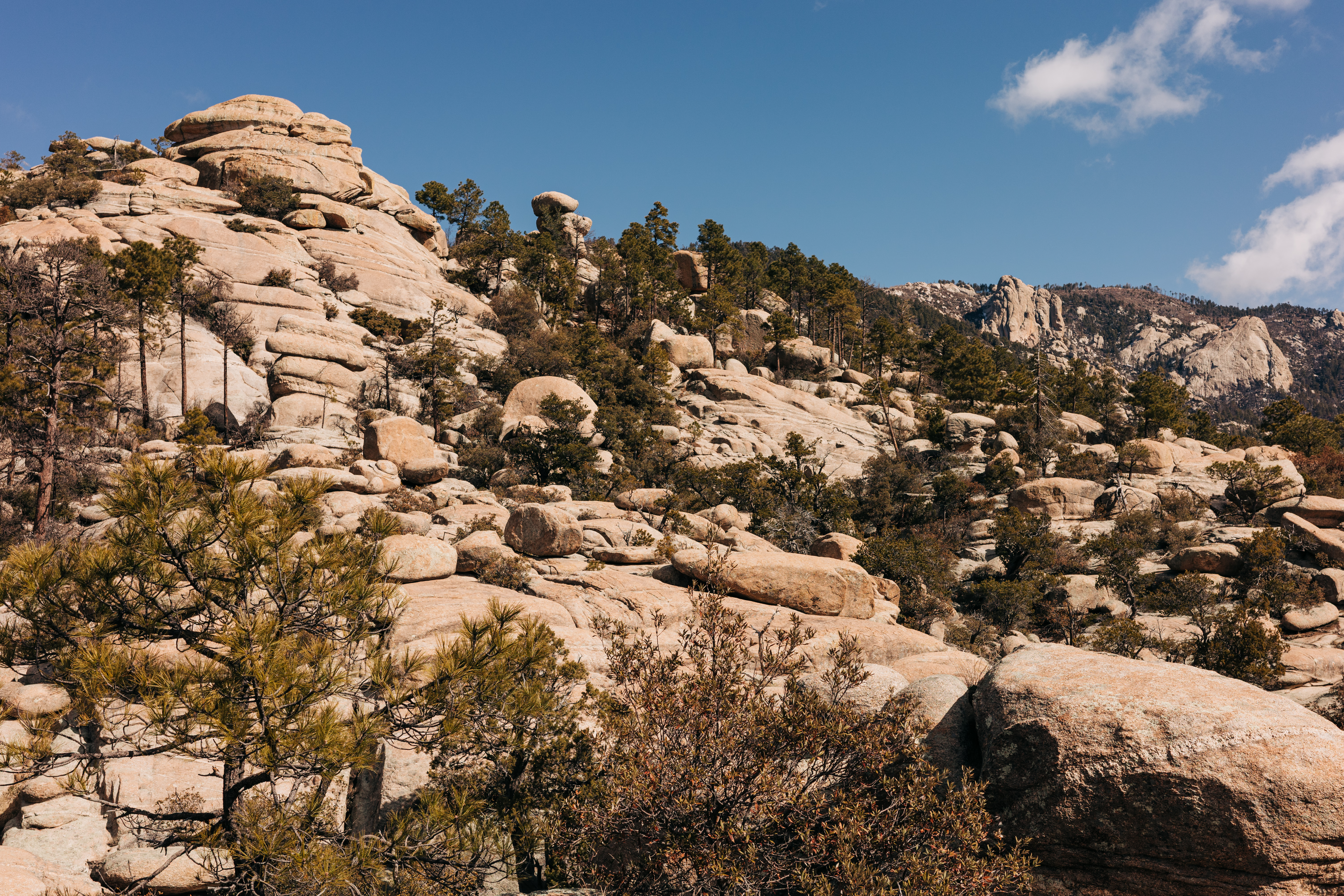
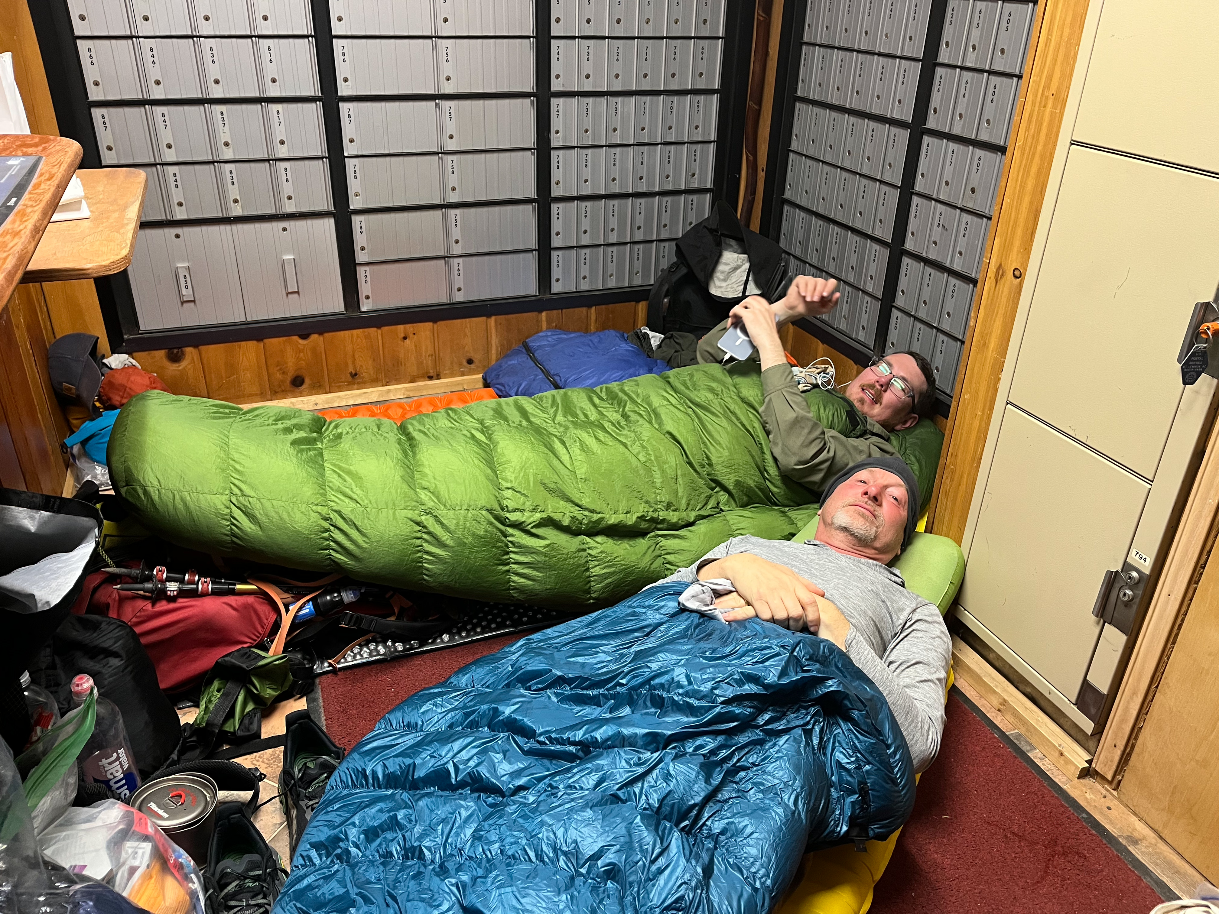
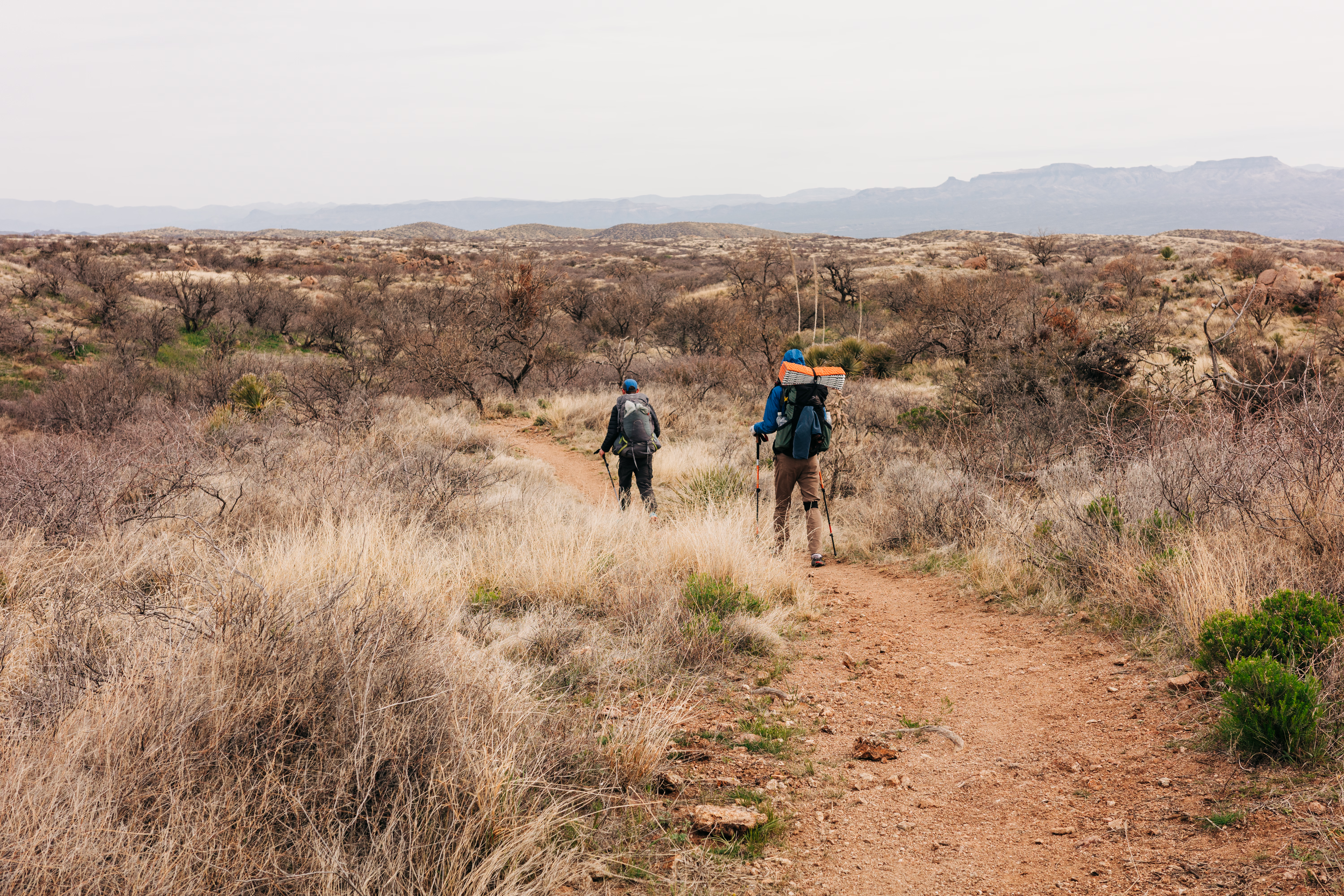
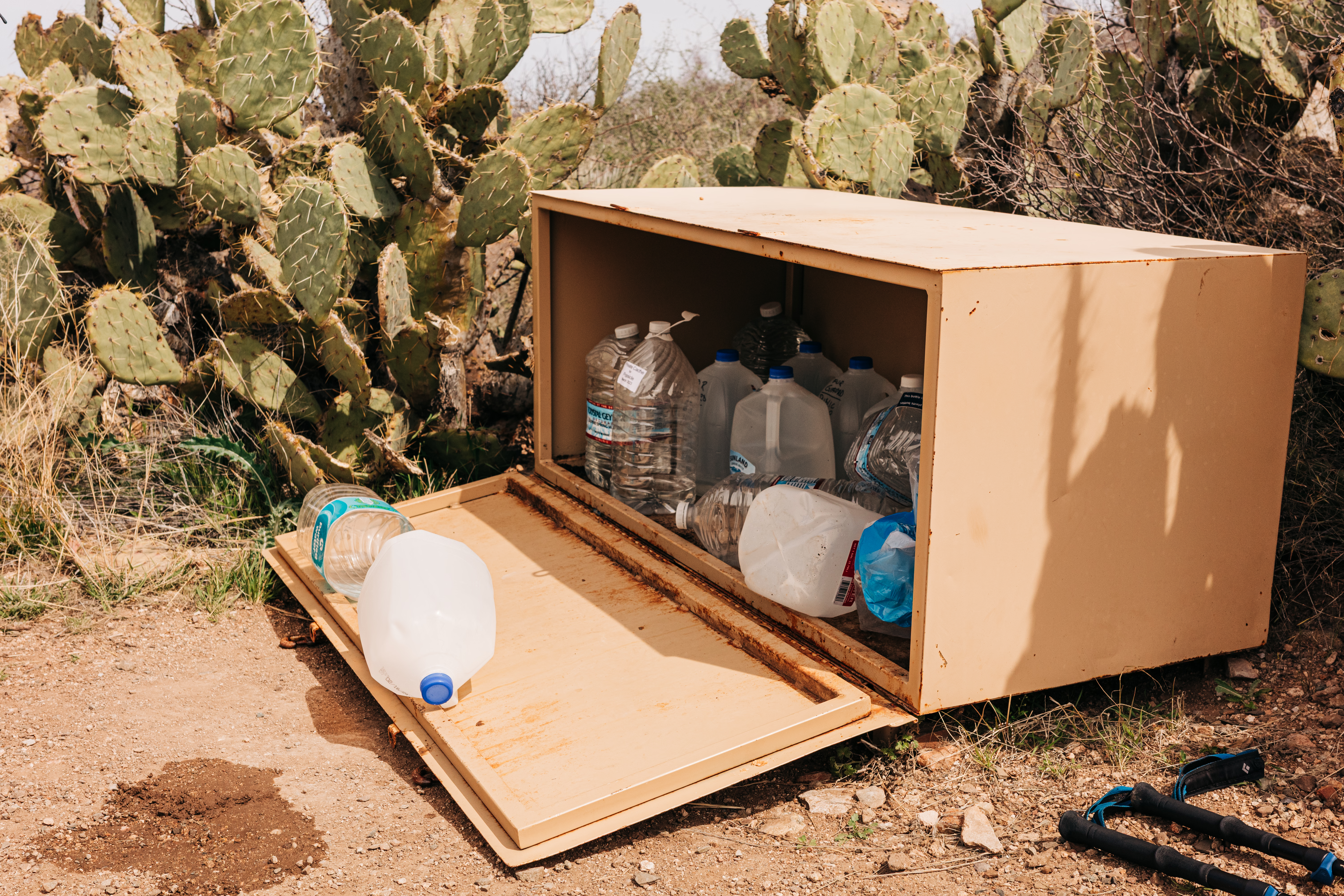
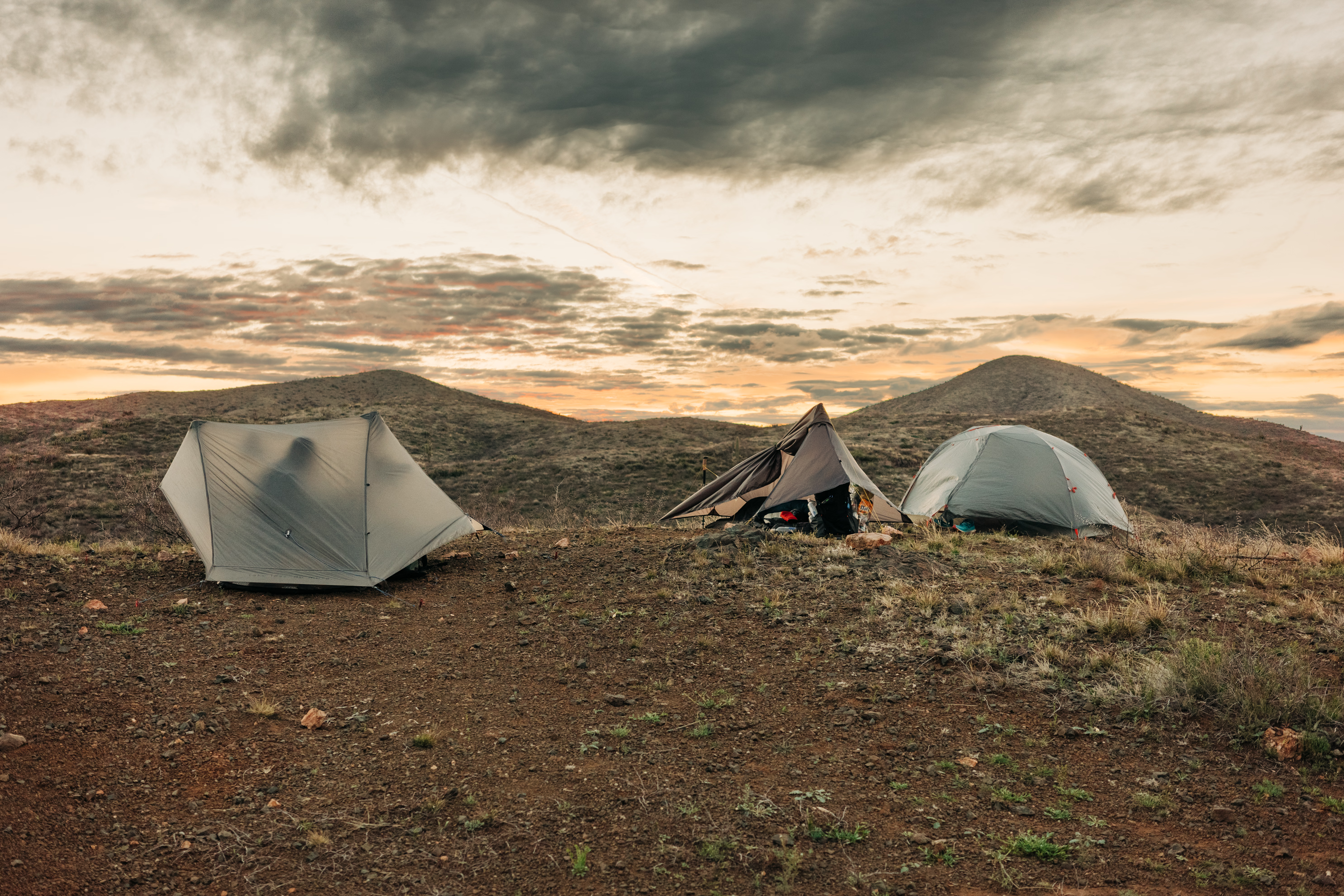
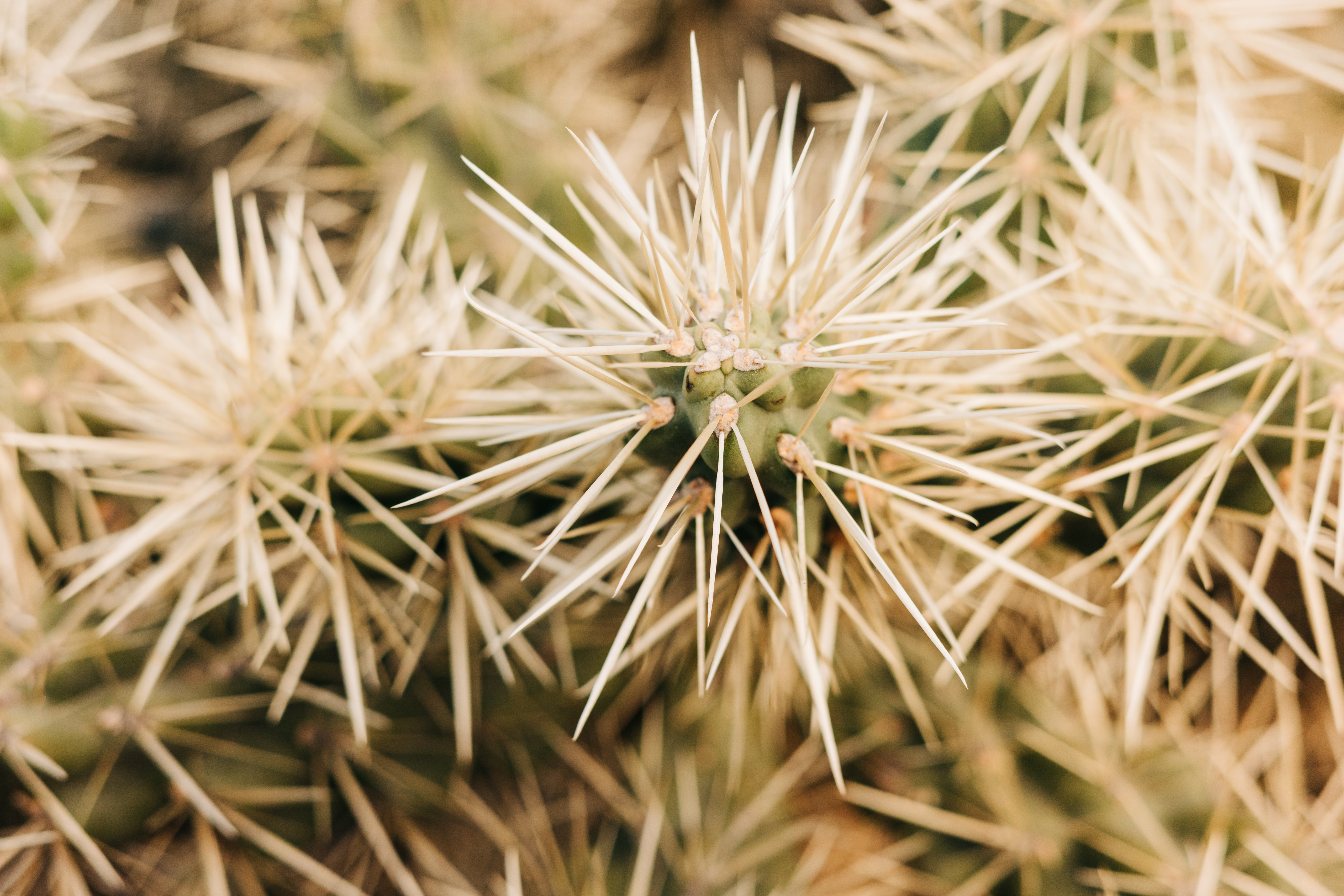
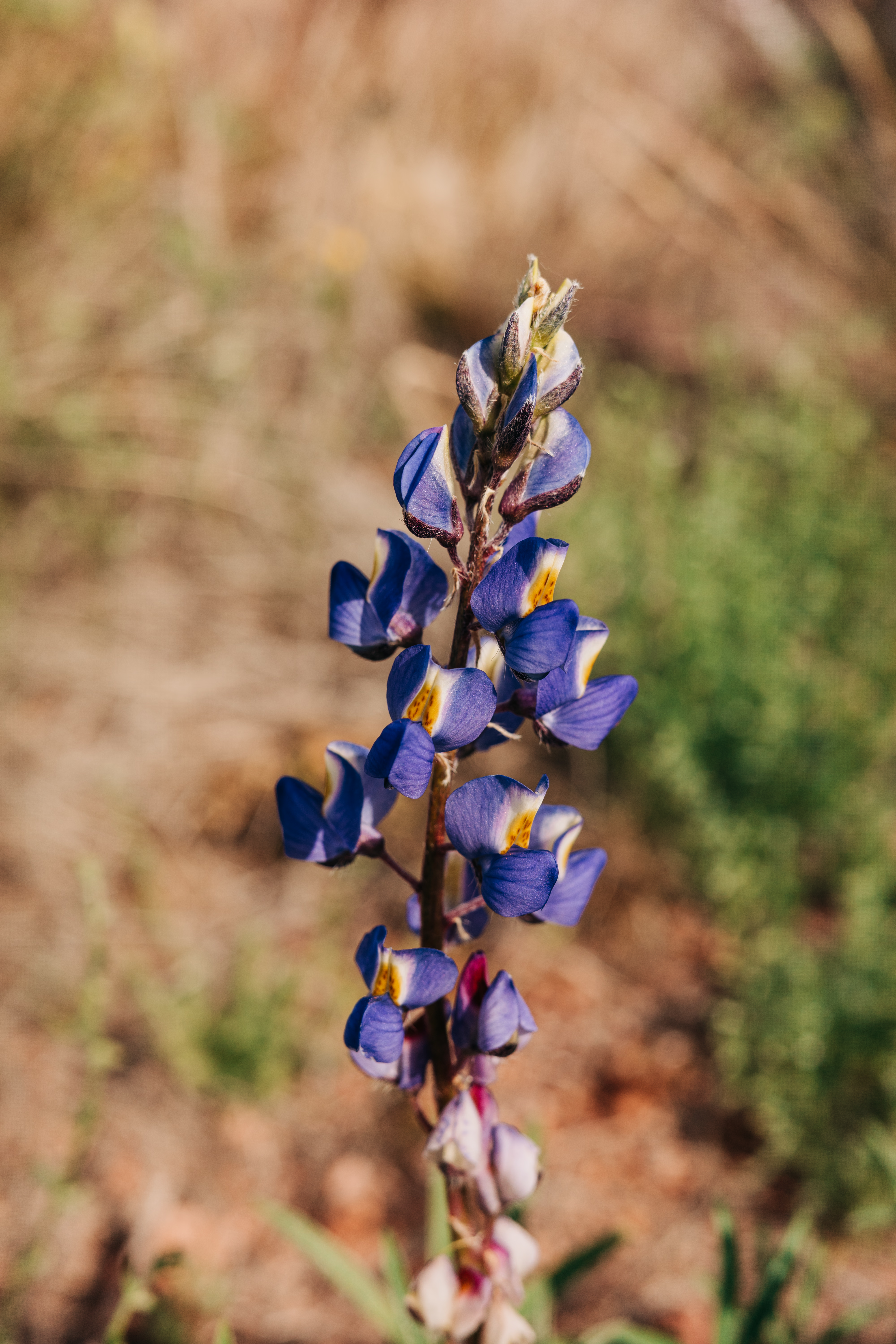
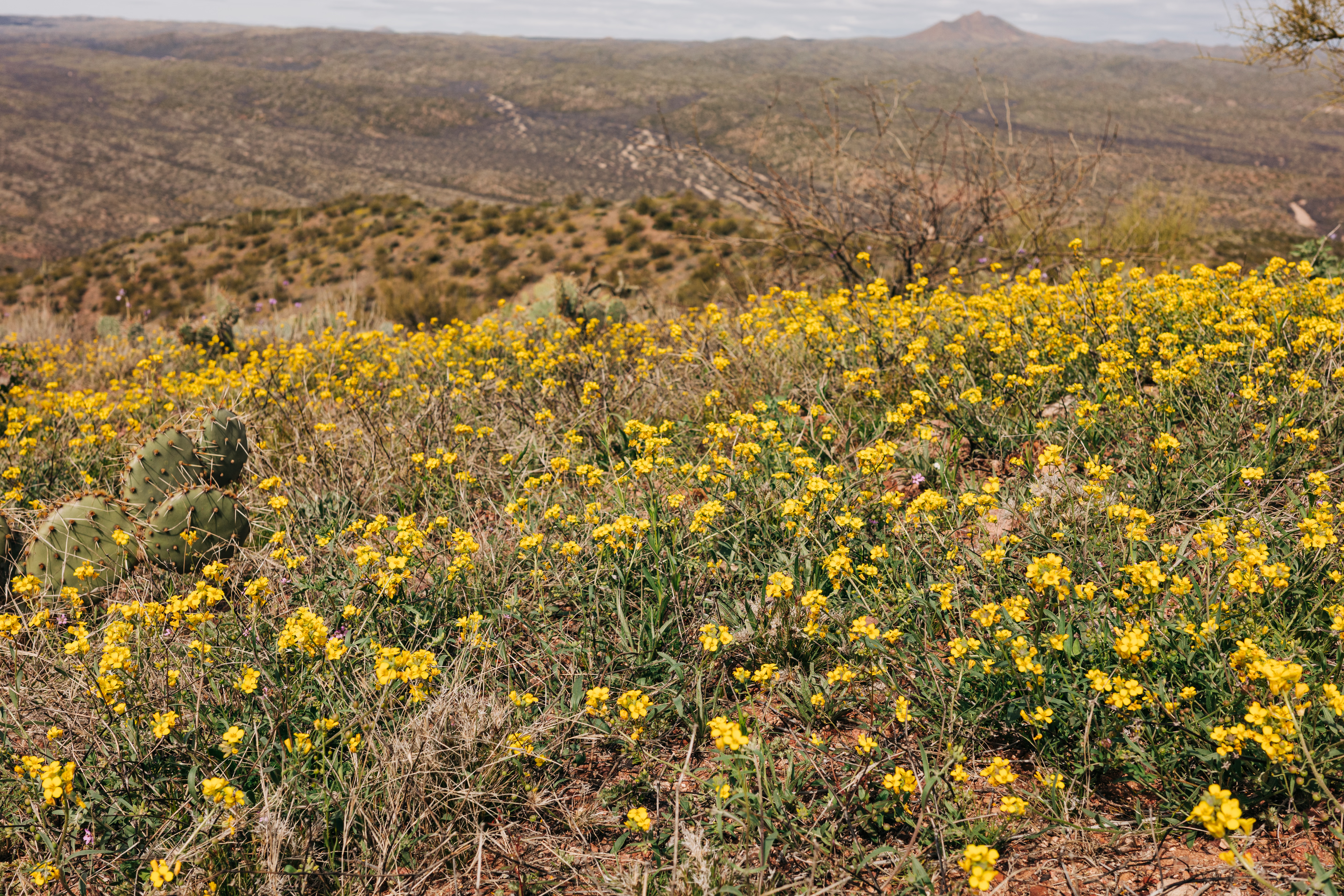
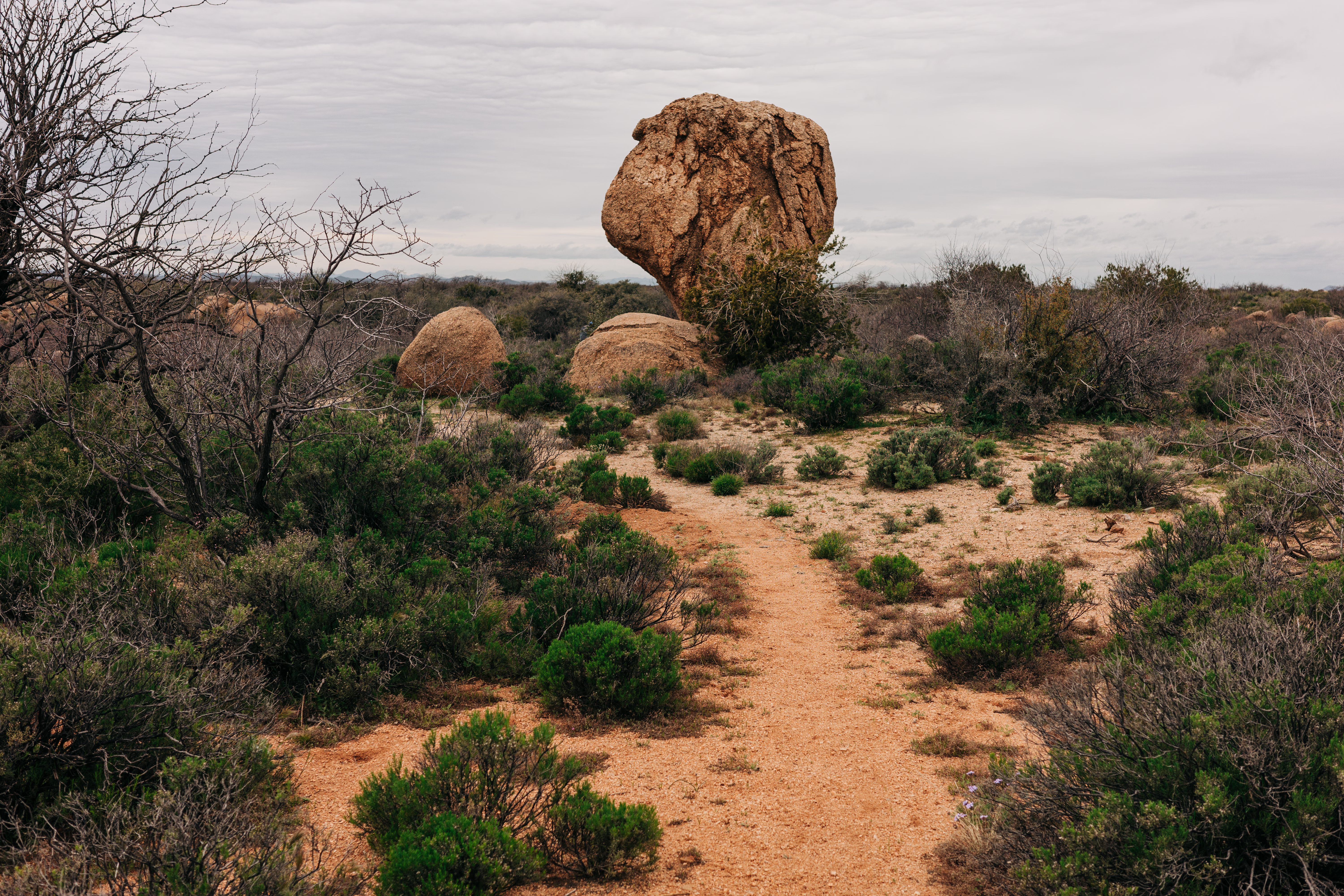
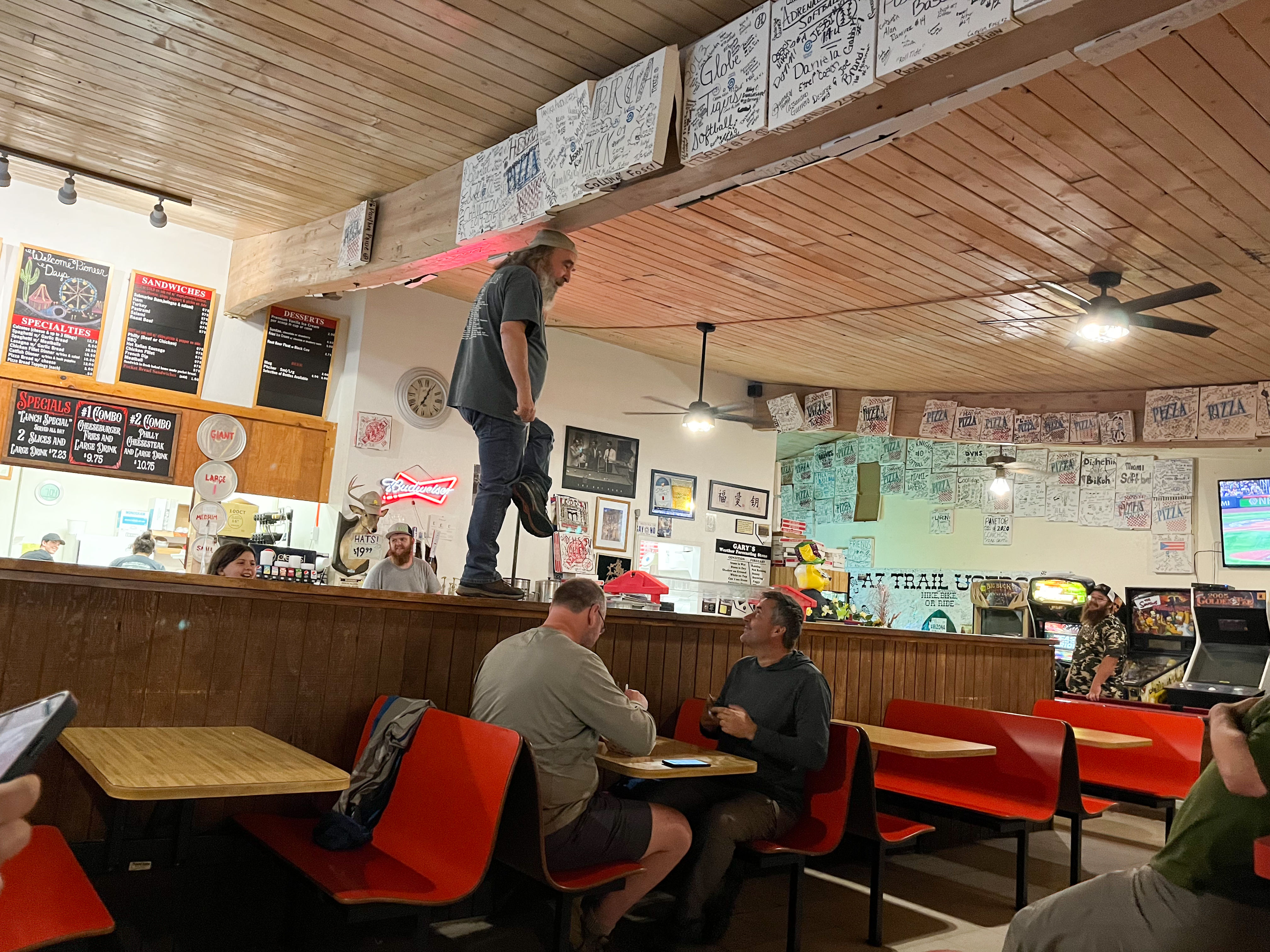
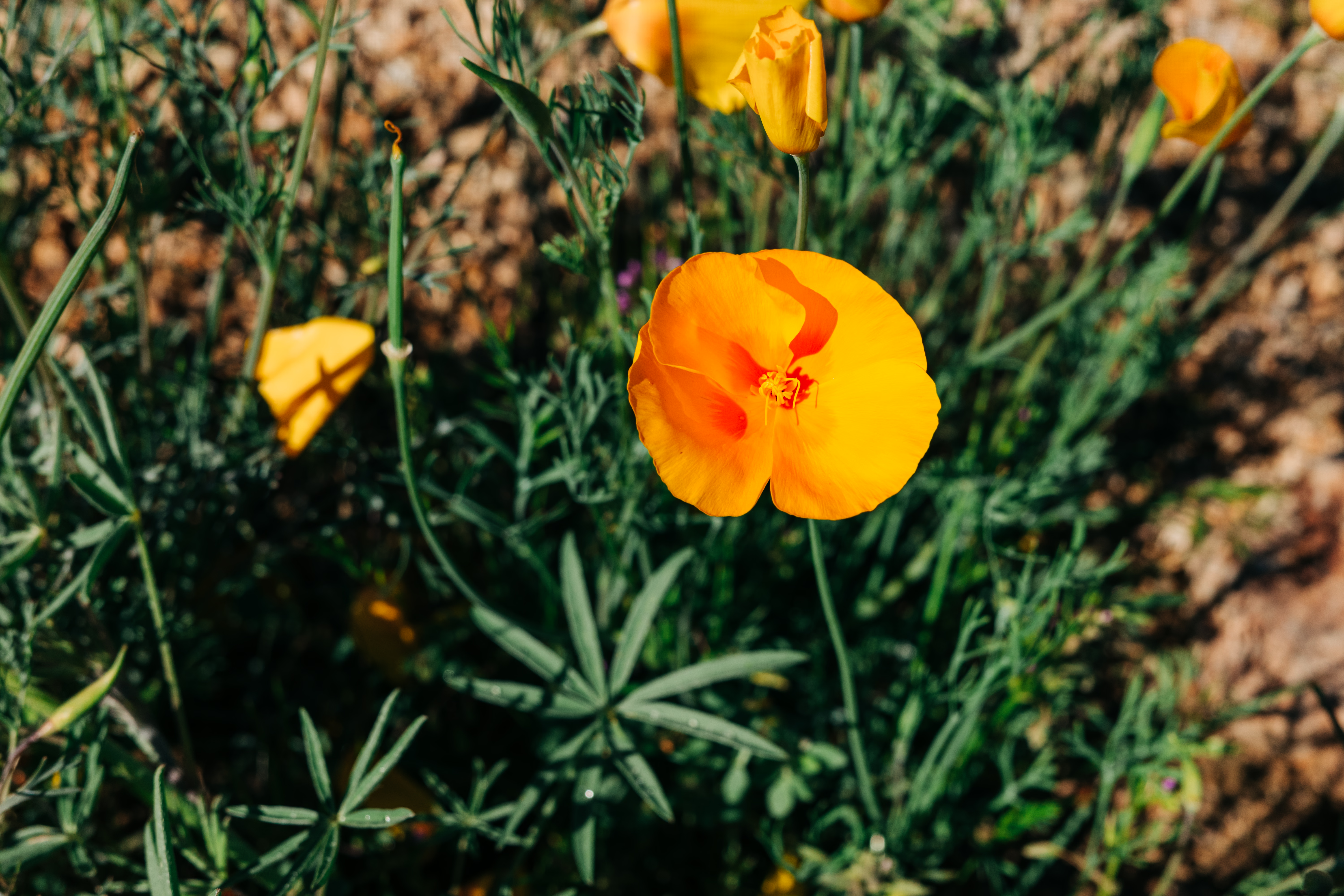
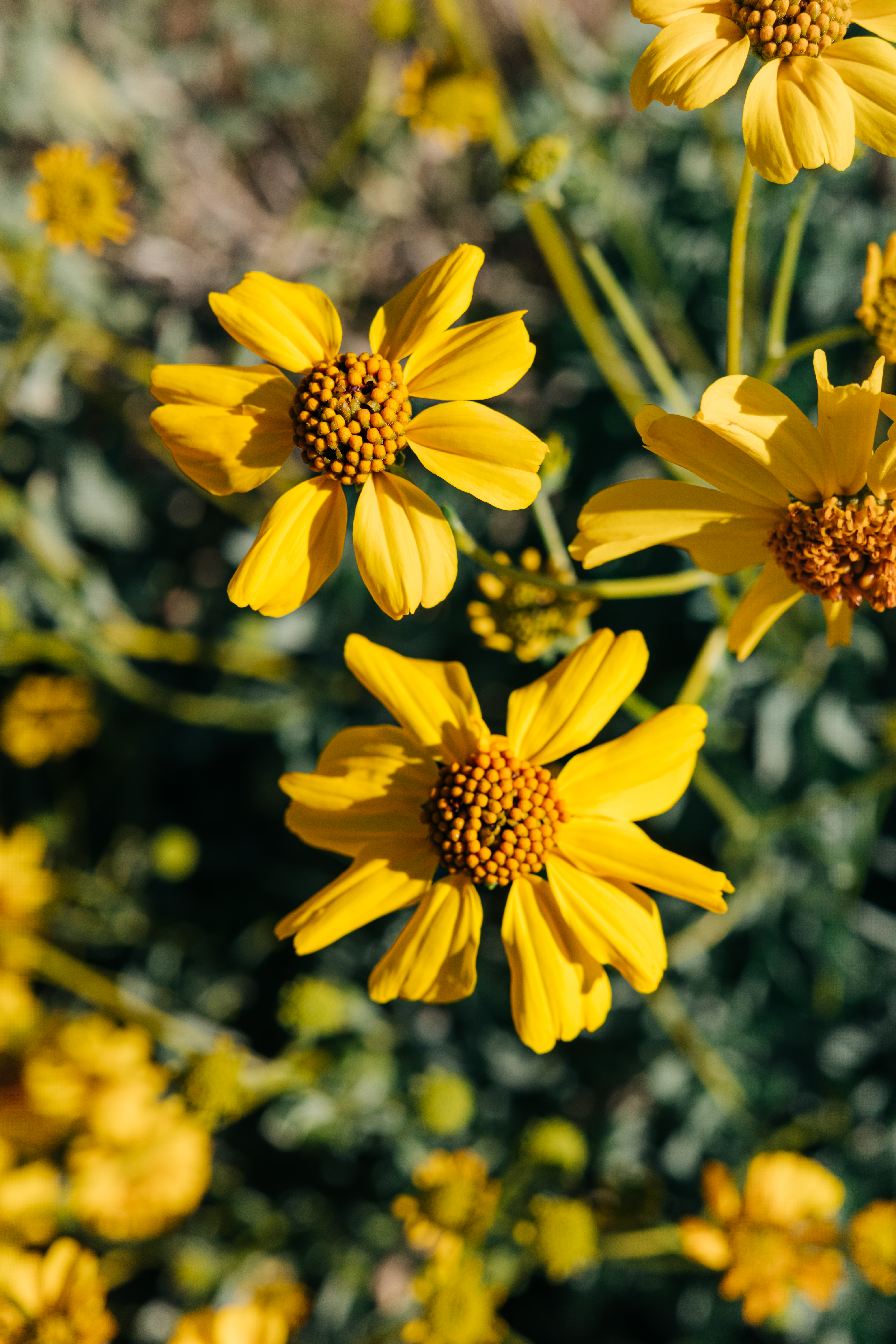
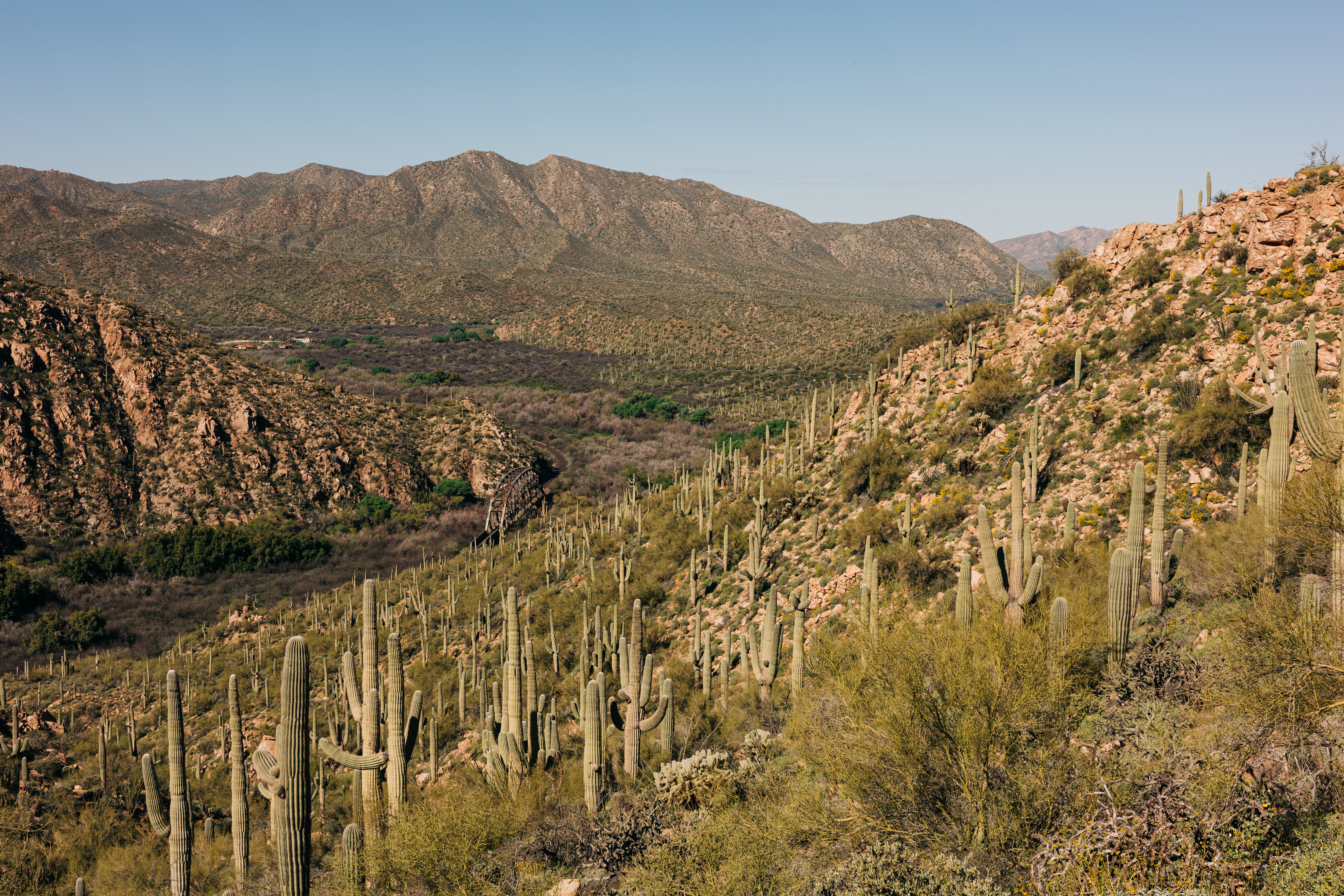
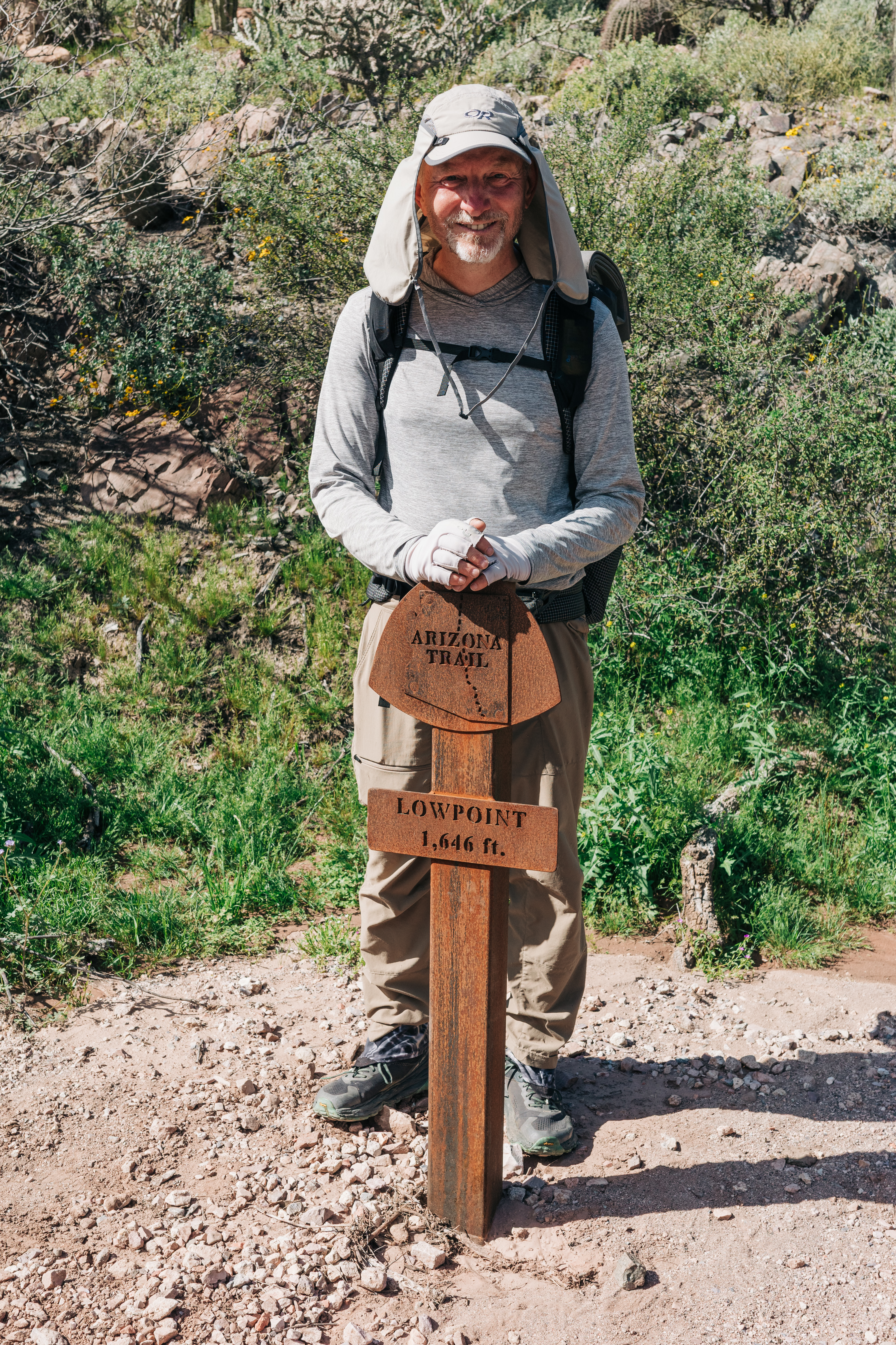
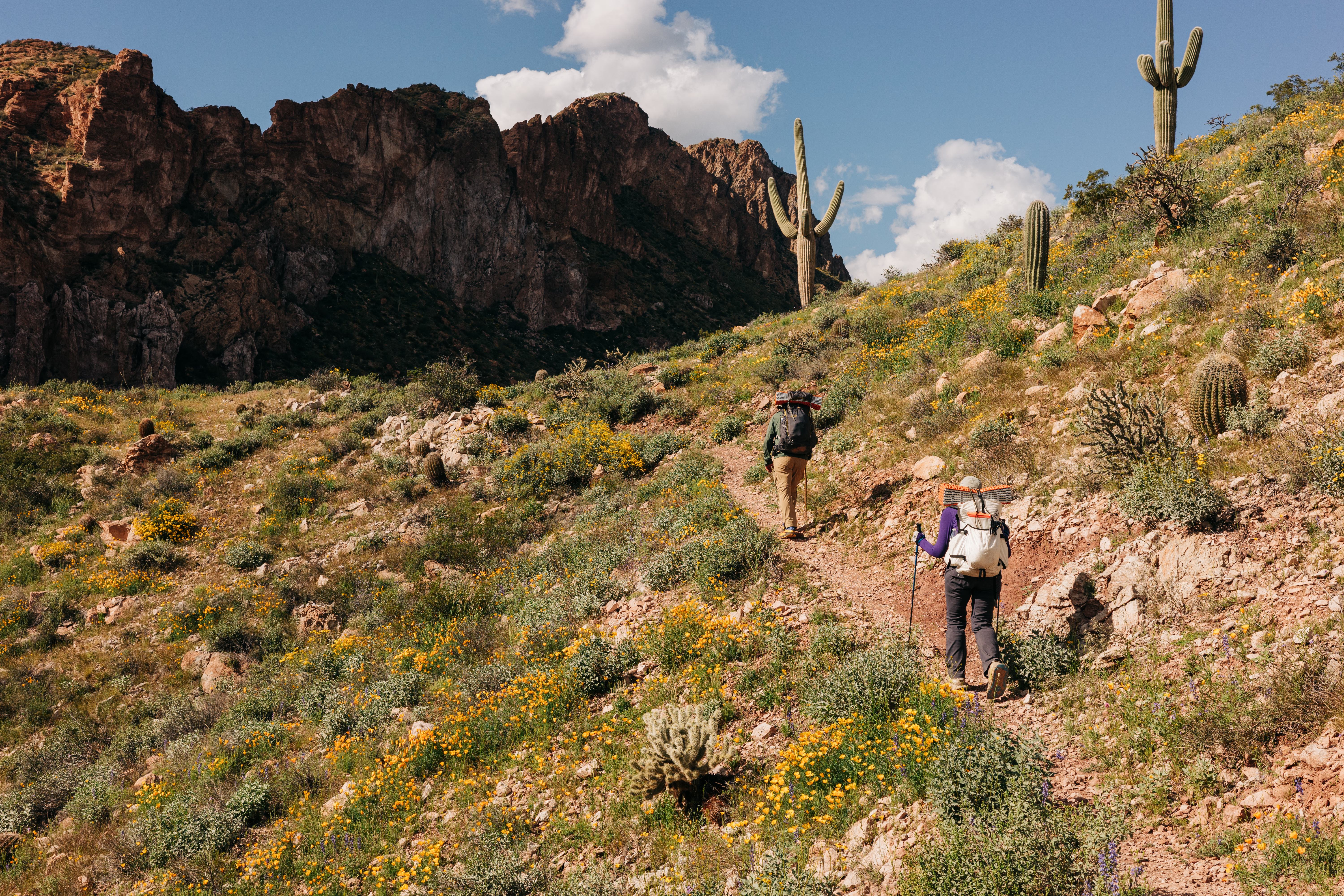
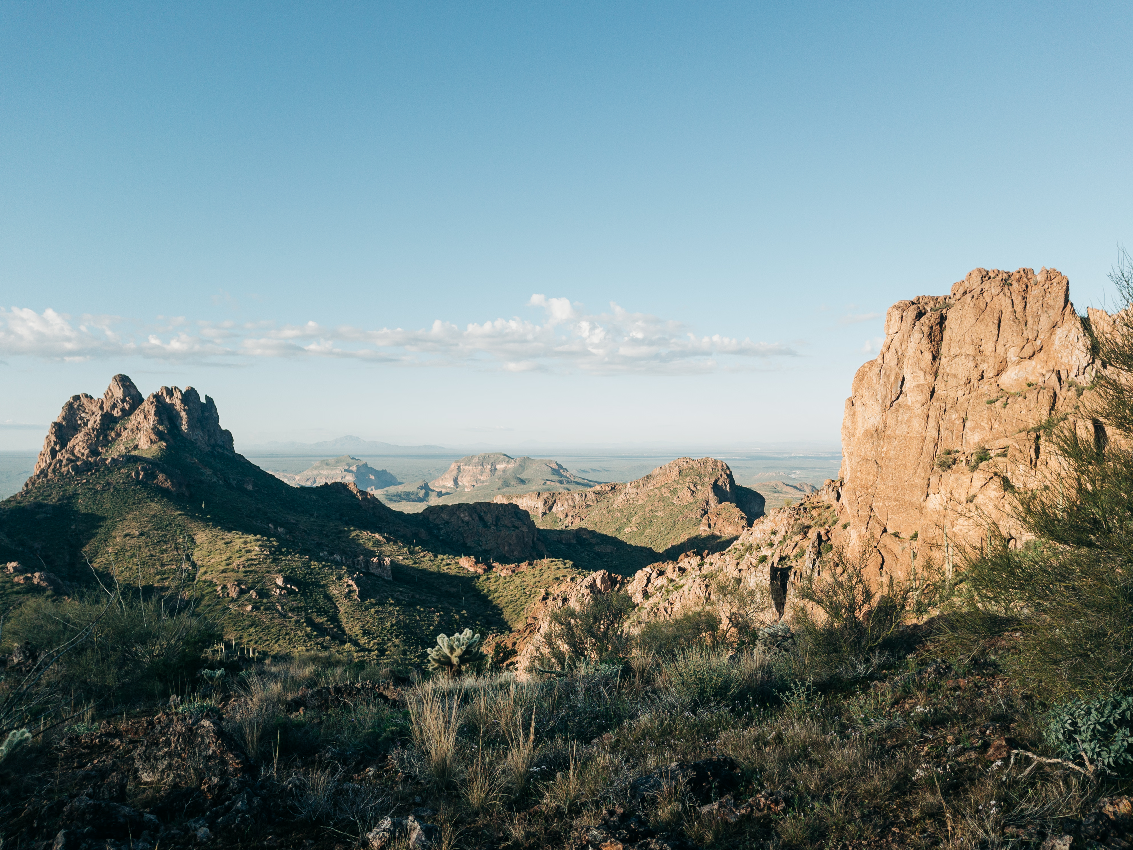
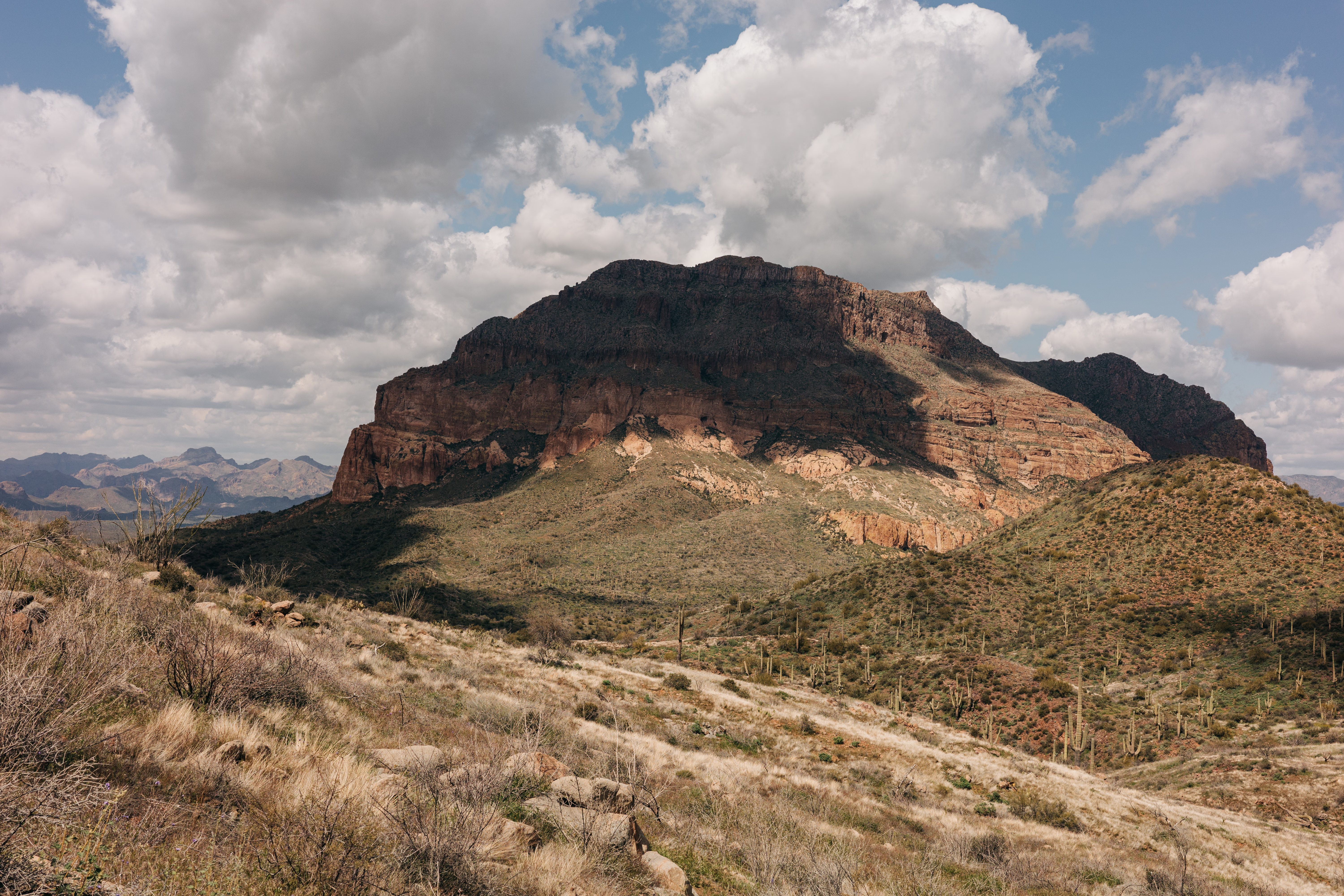
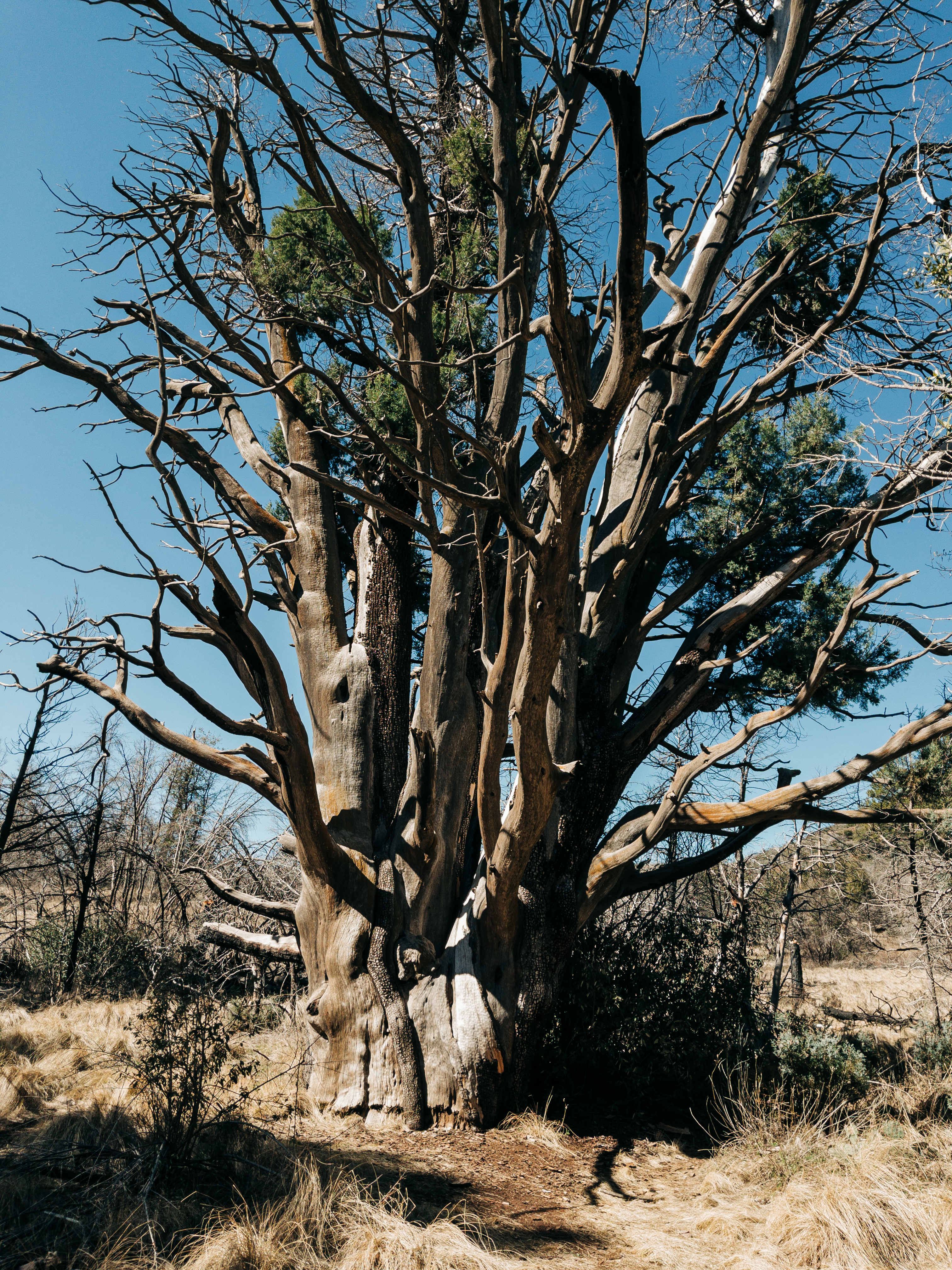
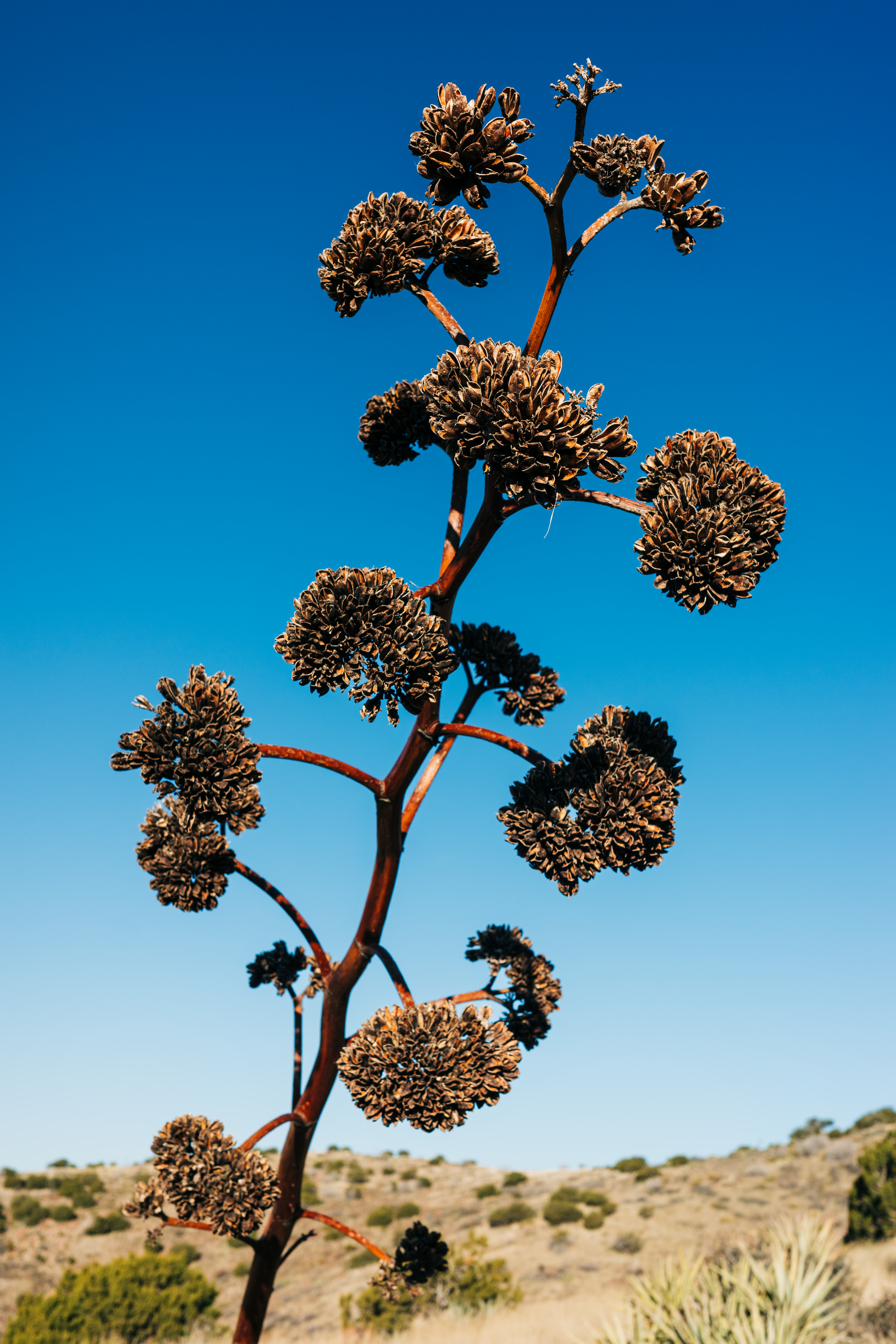
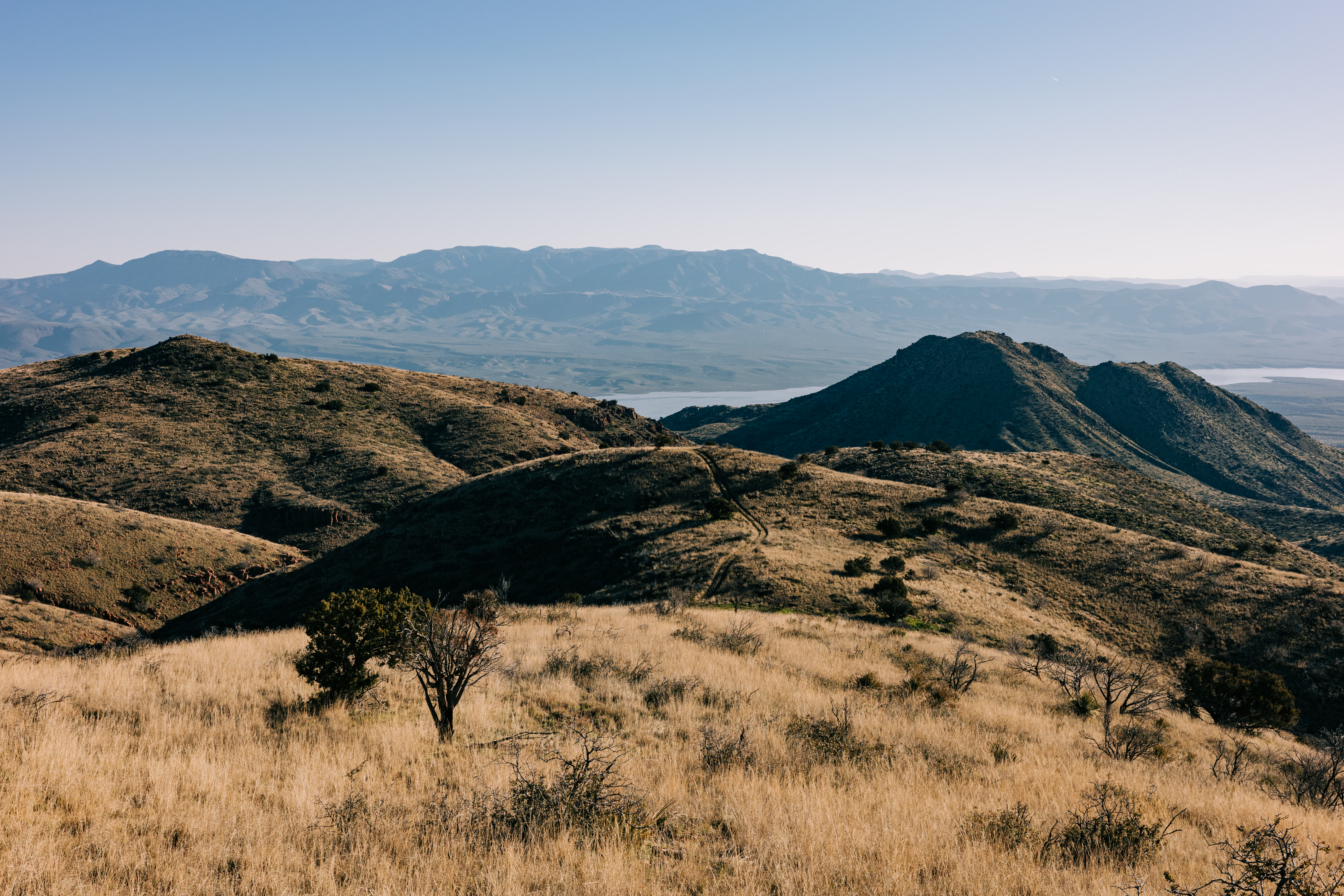
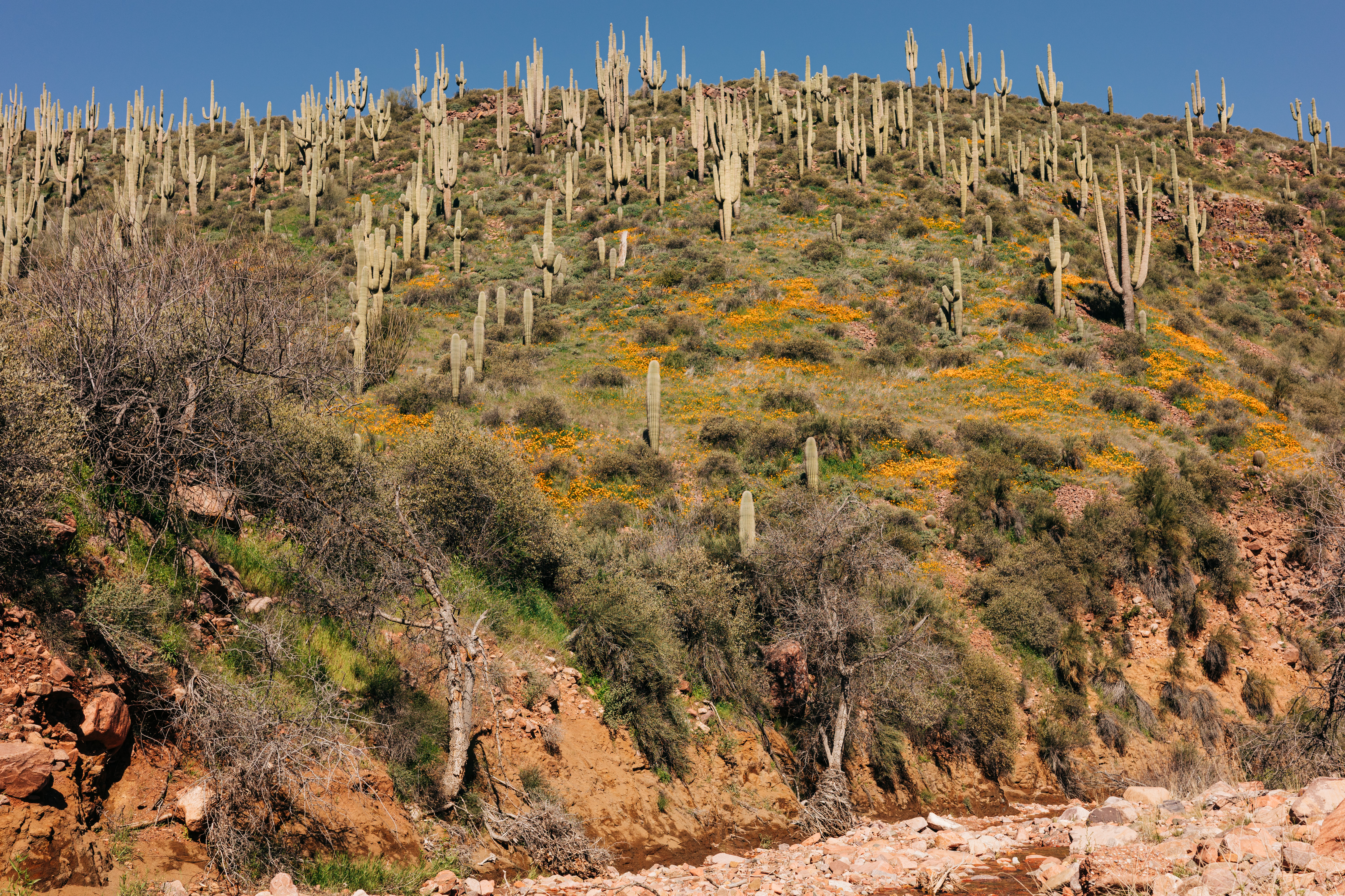
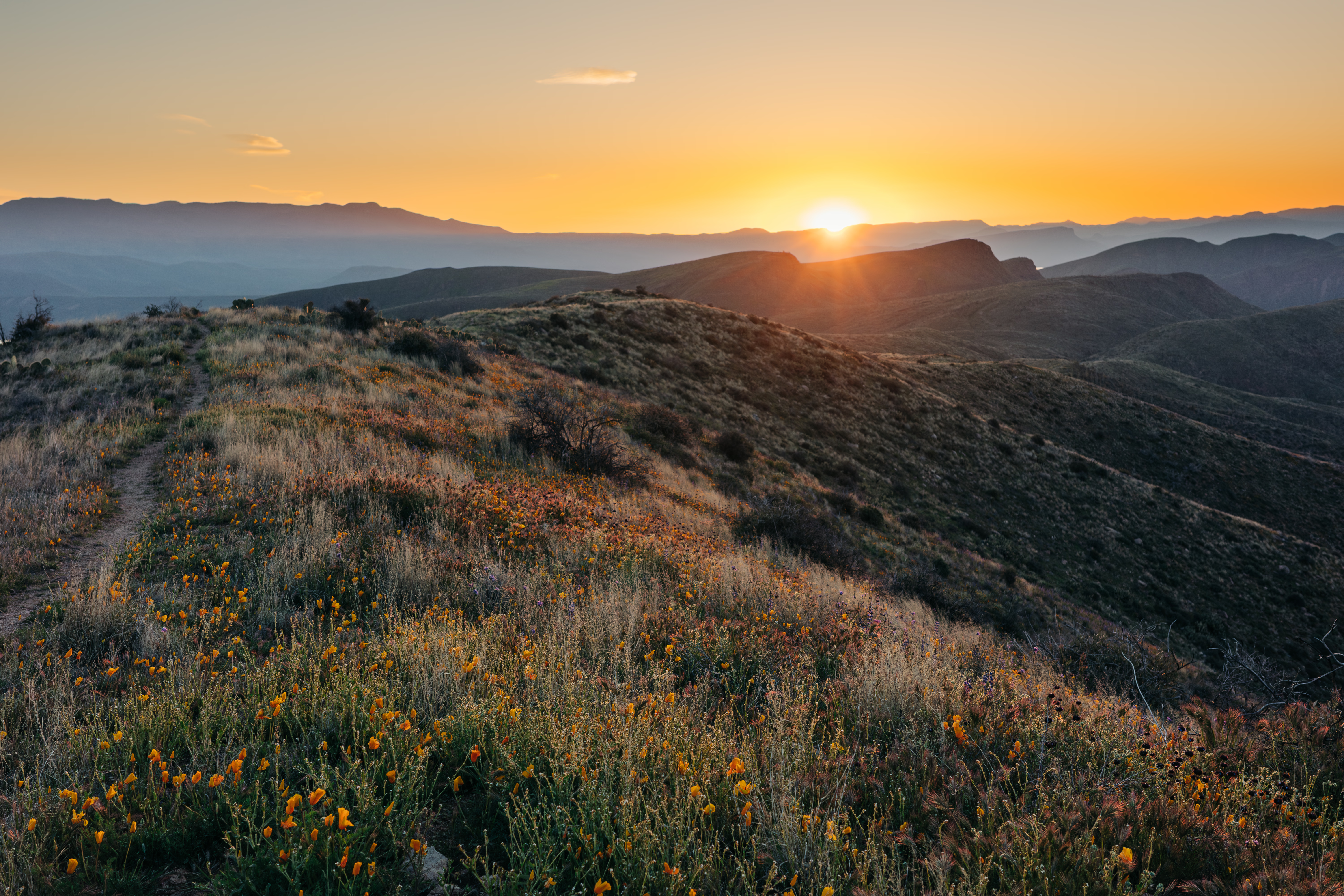
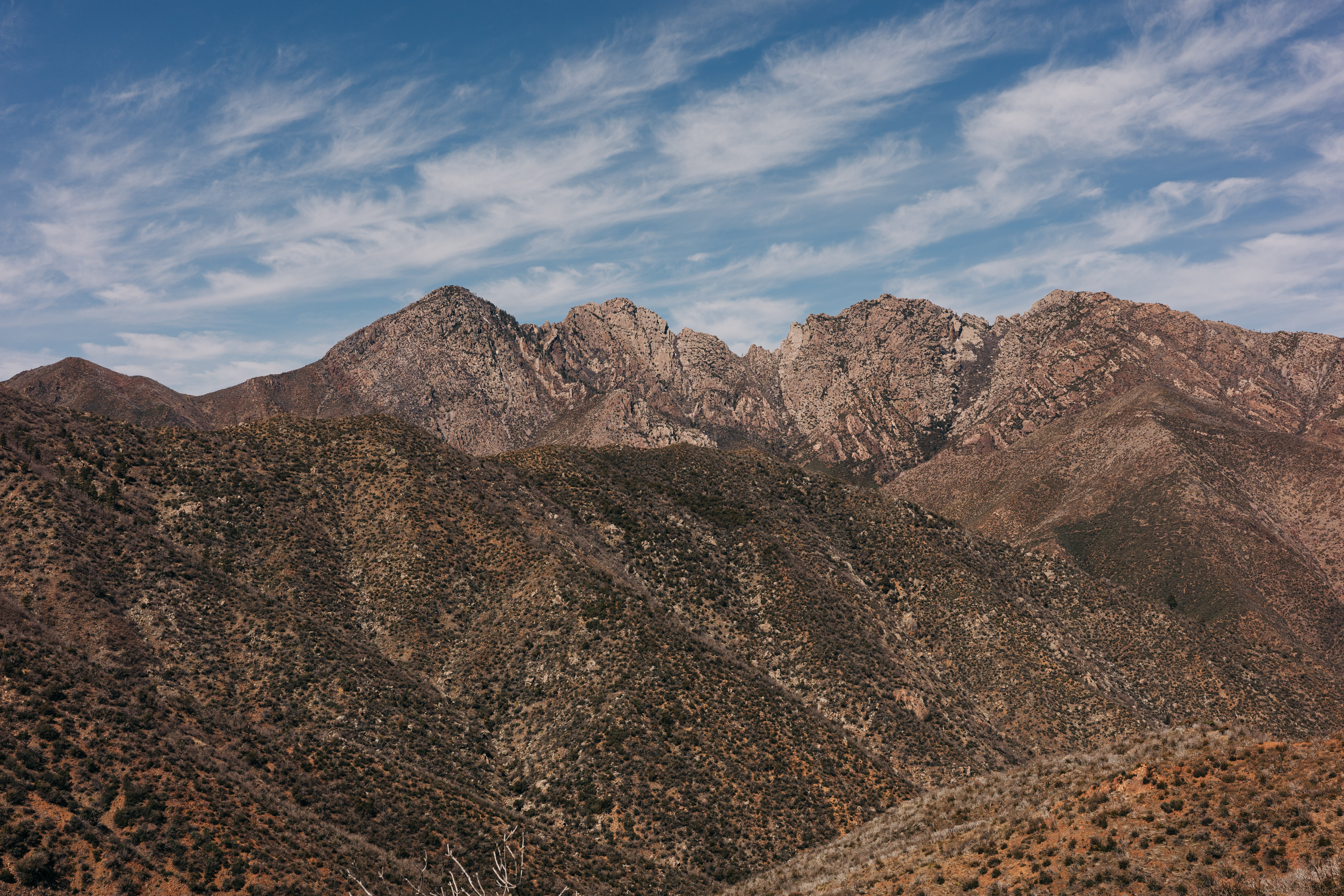
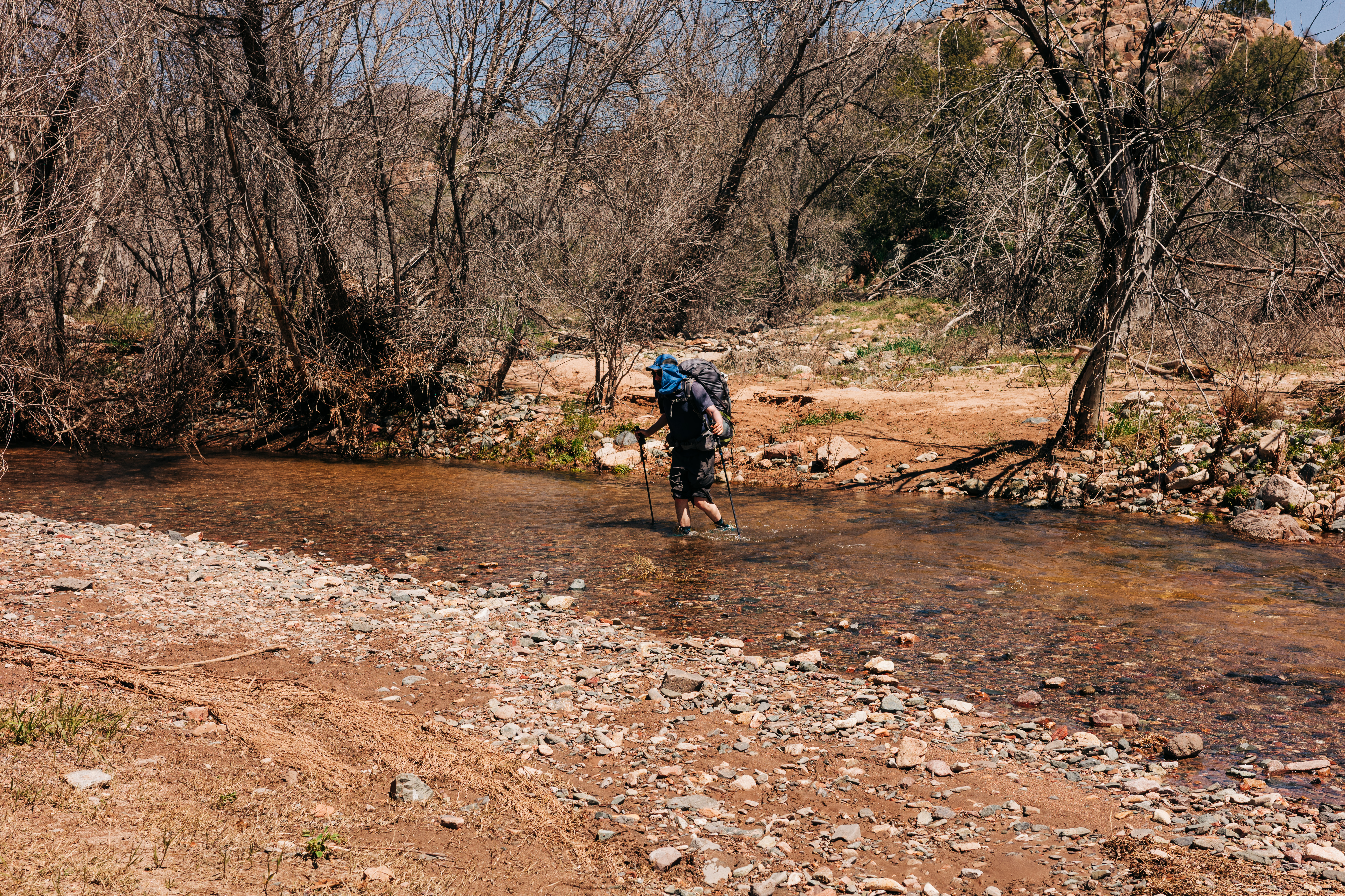
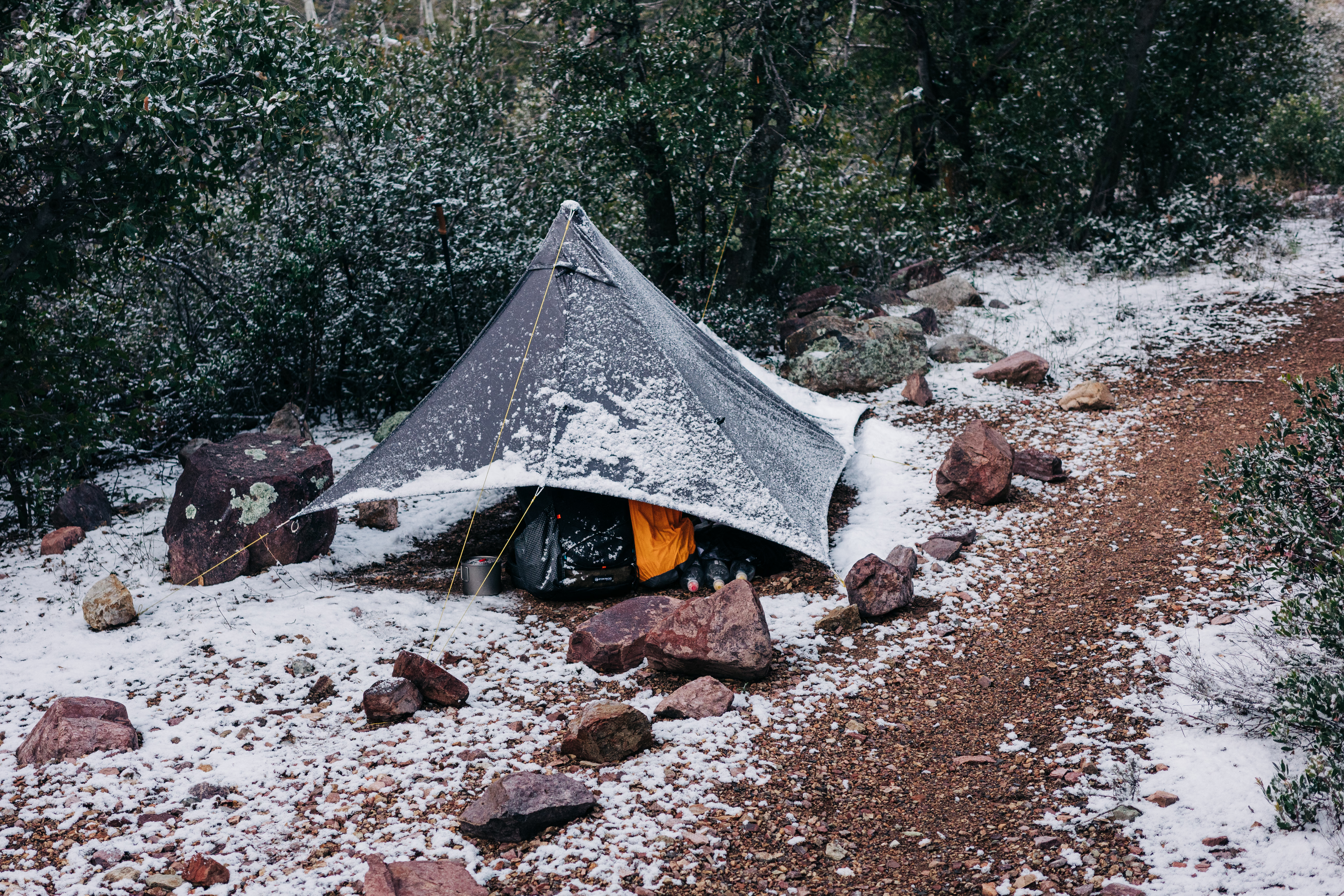
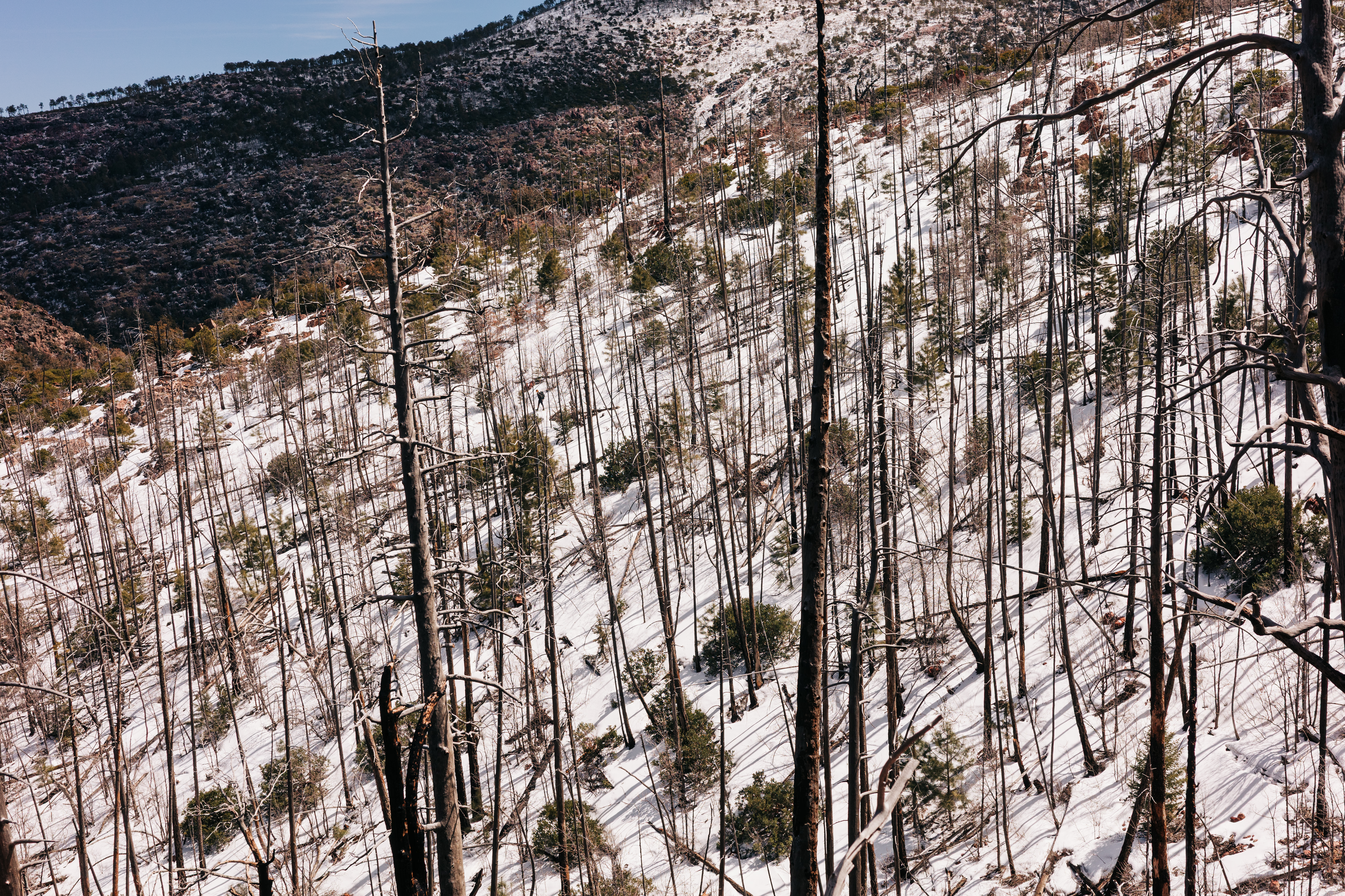
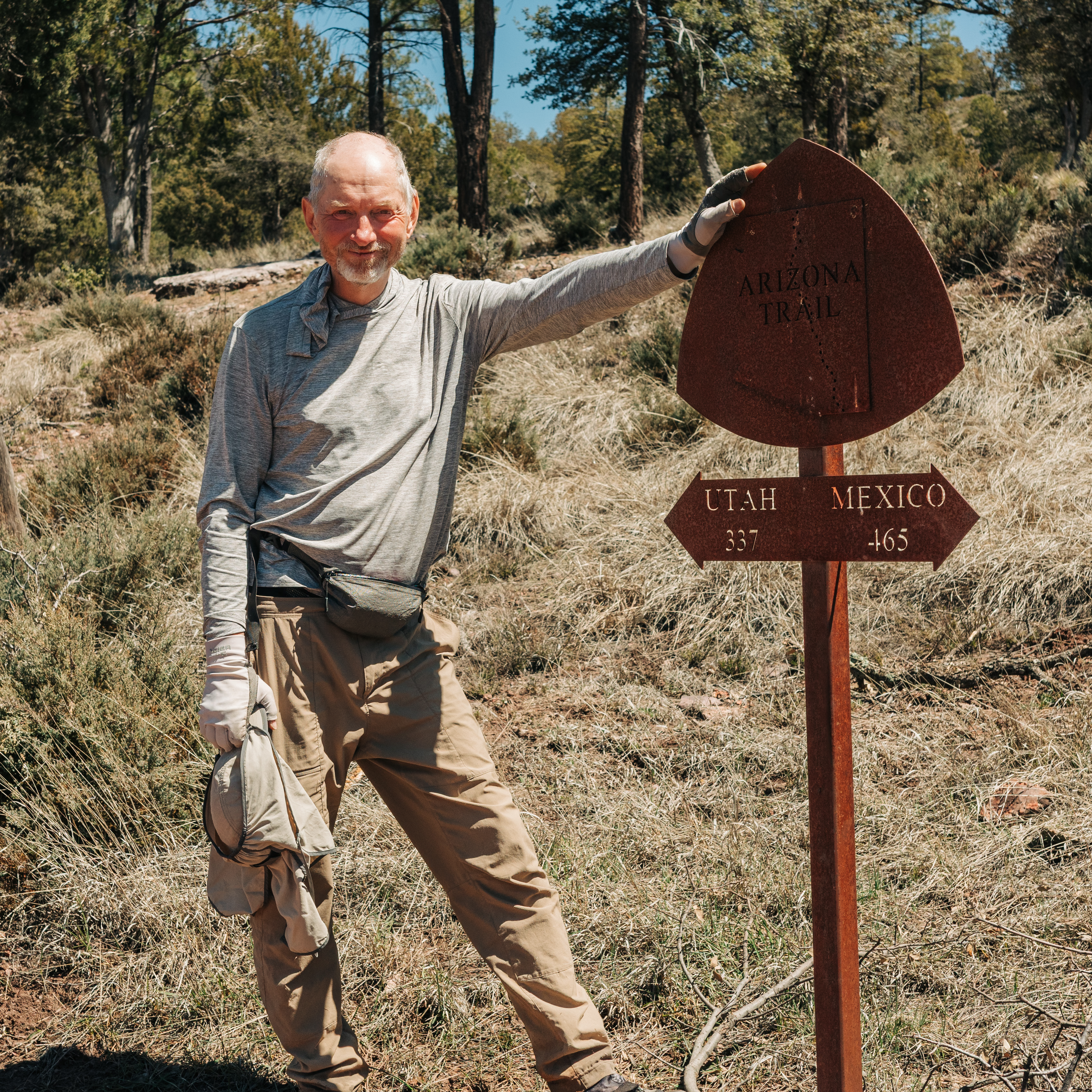
The southern terminus of the Arizona TrailThe snow starts approximately six miles from the border, where the trail climbs to 9,000 ft.Looking southBathtub Spring at mile 8. I camped a short distance from here on a patch of dry ground.Agaves in the snowI met Clay and George on my second day and hiked with them until they completed their section hike.Sunset in the Canelo HillsAn early start under the setting full moonFirst light in the Canelo HillsFollowing Clay and George through the Canelo HillsPatagoniaHills near Temporal GulchIt's not very often that you see a Cadillac fording a creek.Kentucky Camp, a historic gold mining camp. We slept in the building with the mice.Clay and GeorgeFirst light on the Santa Rita MountainsThe famous snake tunnel under Interstate 10Saguaro National ParkSaguaro National ParkClimbing into the Santa Catalina MountainsTucson in the distanceThe Garden of RocksSpending a cold night in the lobby of the Summerhaven Post OfficeGlacier and Starburst heading out of OracleResupply box with waterCamp in the Black HillsChollaWildflowers in the Black HillsThe Tortilla MountainsDr. Pizza entertaining the customers in KearnyMexican gold poppyBrittlebushSaguaros in the Gila River CanyonThe trail's low point, near the Gila RiverClimbing up from the Gila River with Penny and TerboMorning in the Gila River CanyonsPicketpost MountainA very old juniper treeDried agave stalkRoosevelt Lake in the distanceSaguaros and poppies in the Superstition WildernessOn the climb up from Roosevelt LakeThe Four PeaksSnow in the Mazatzal MountainsLook for the hiker on the trail.Pine Trailhead