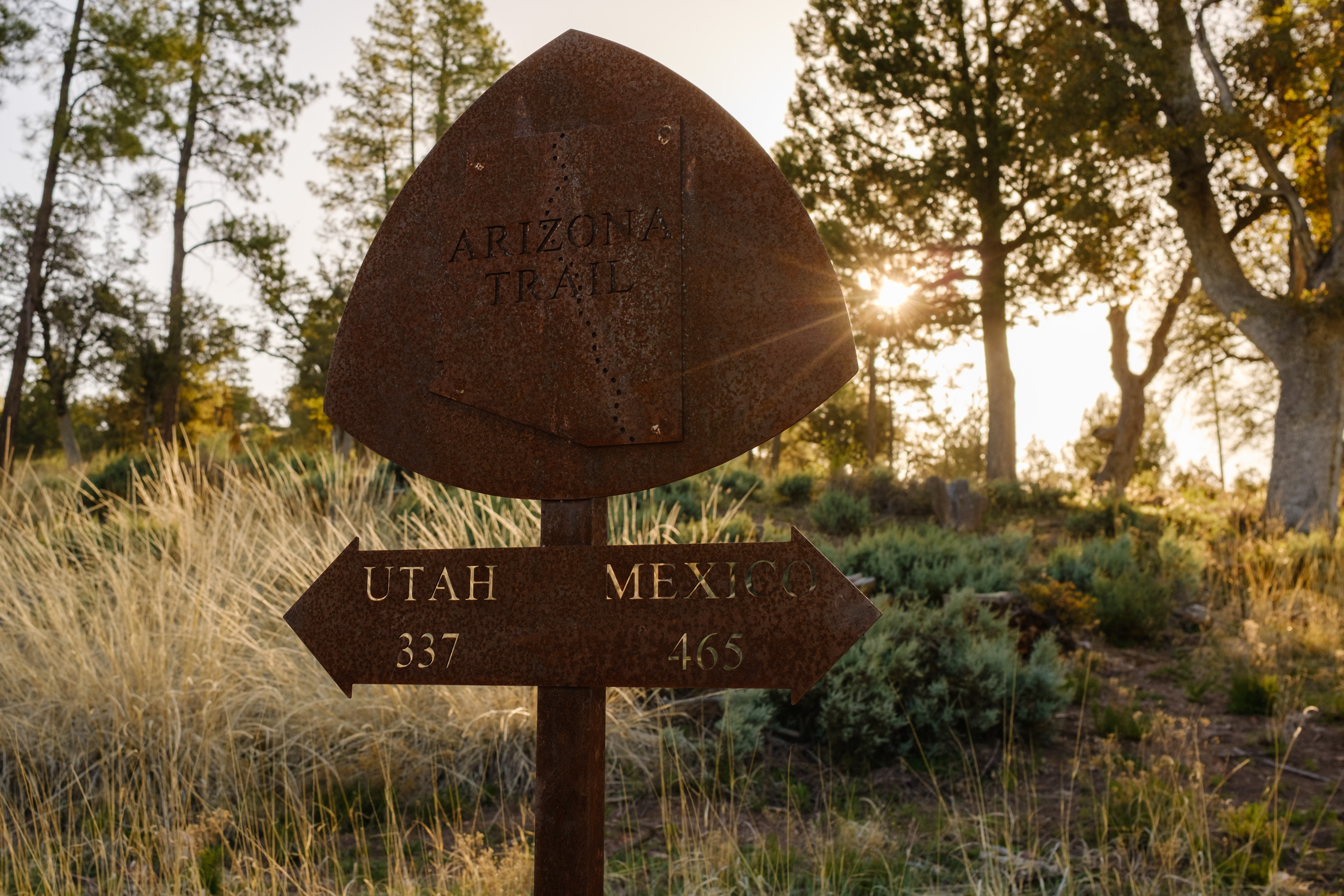
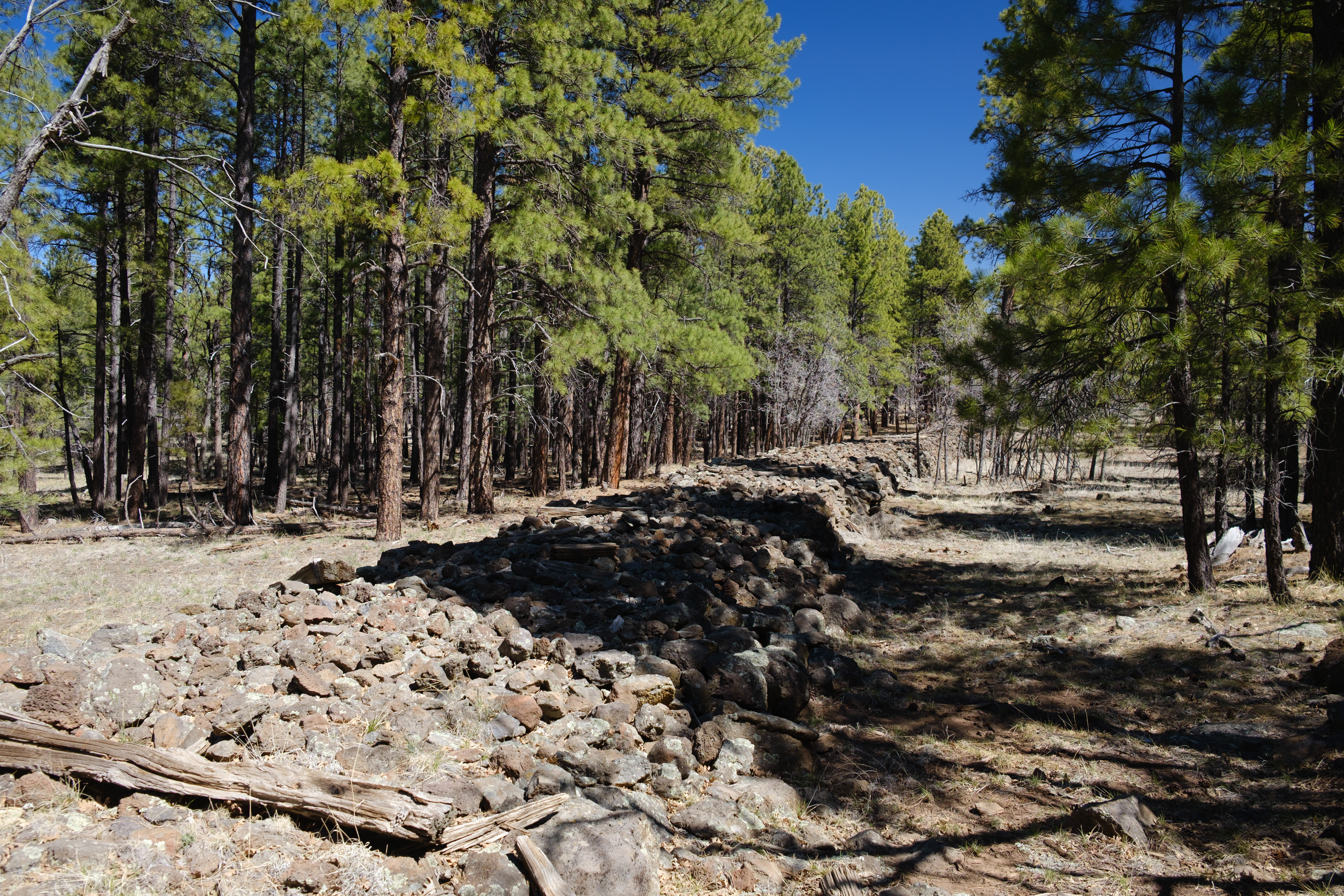
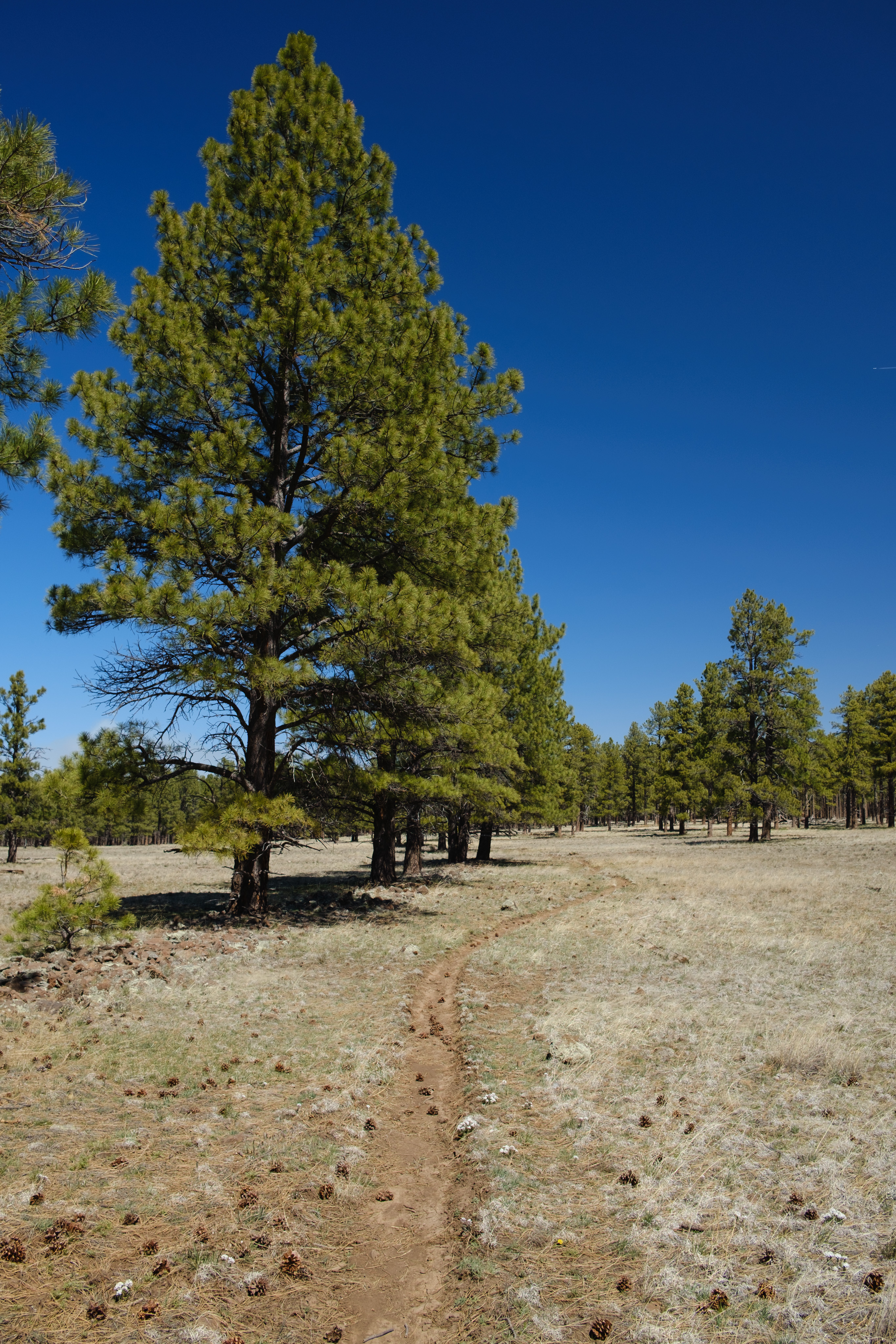
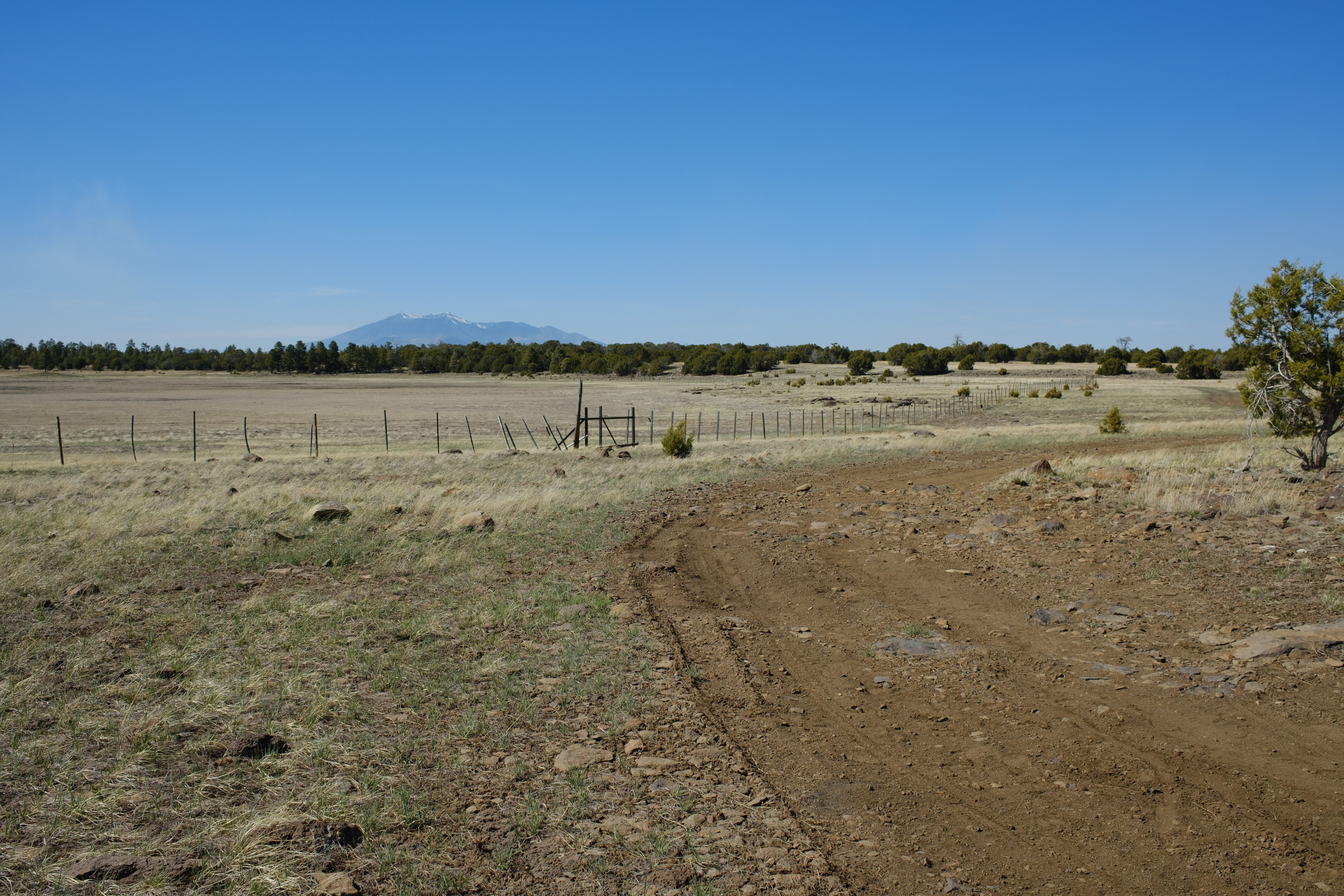
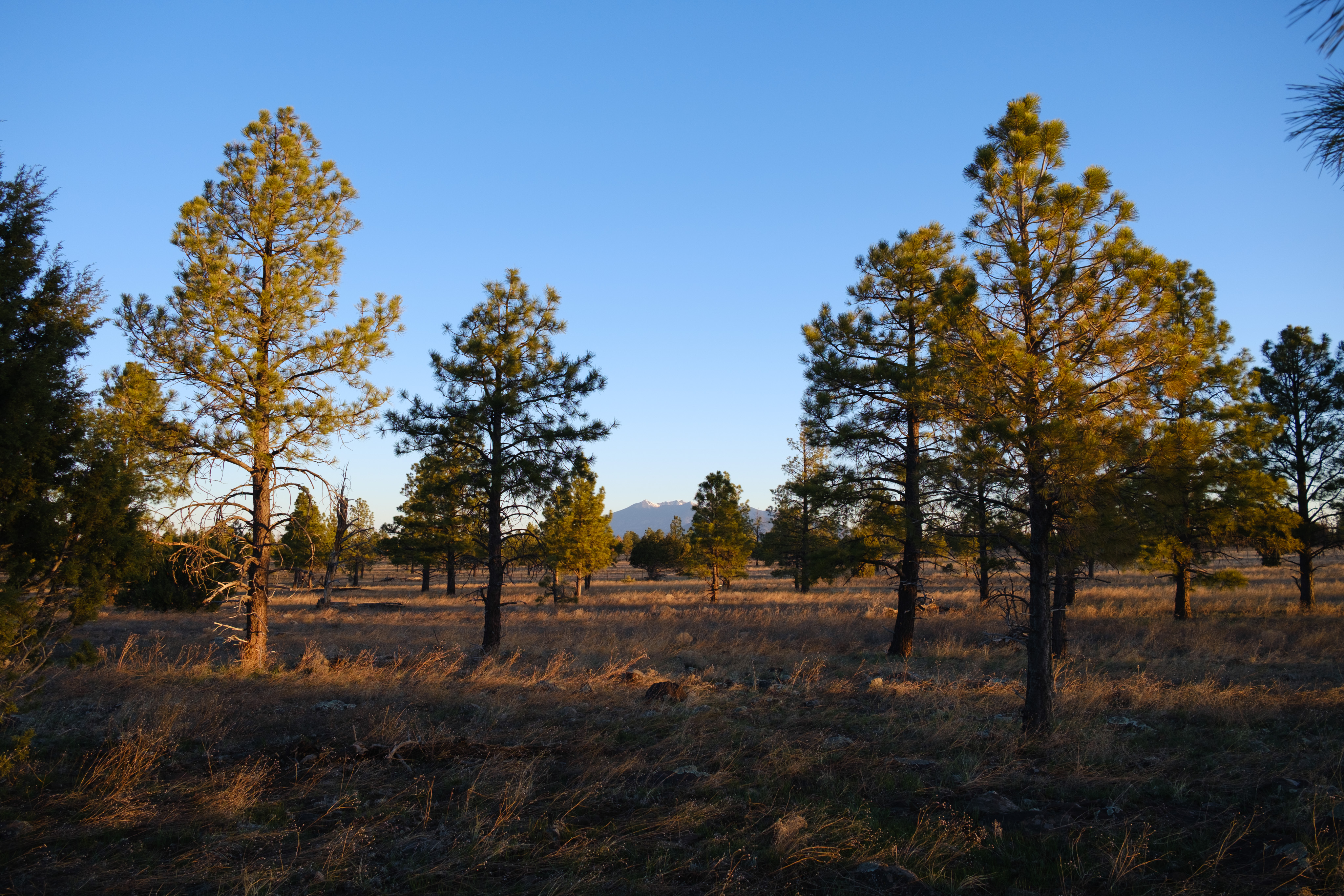
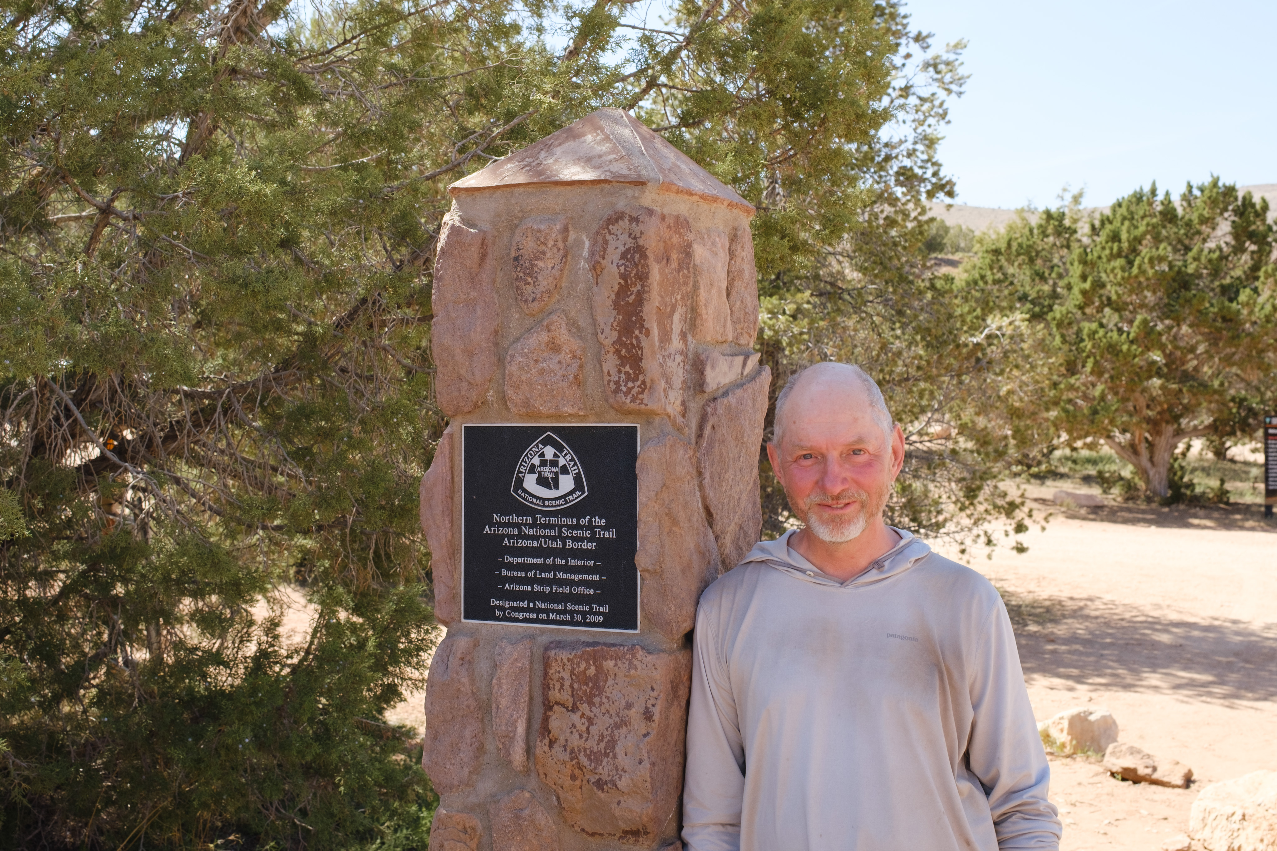
I hiked from Pine, Arizona, to the Utah state line on the Arizona Trail. This was my first long hike.
Backpack weight in pounds, not including consumables: 13
Estimated weight with a full load of consumables (water, food): 28
Maximum liters of water carried: 4
Lowest temperature °F: low 20s
Highest temperature °F: mid-90s
Number of days I didn't see another person: 2
Number of nights that I camped alone: 13
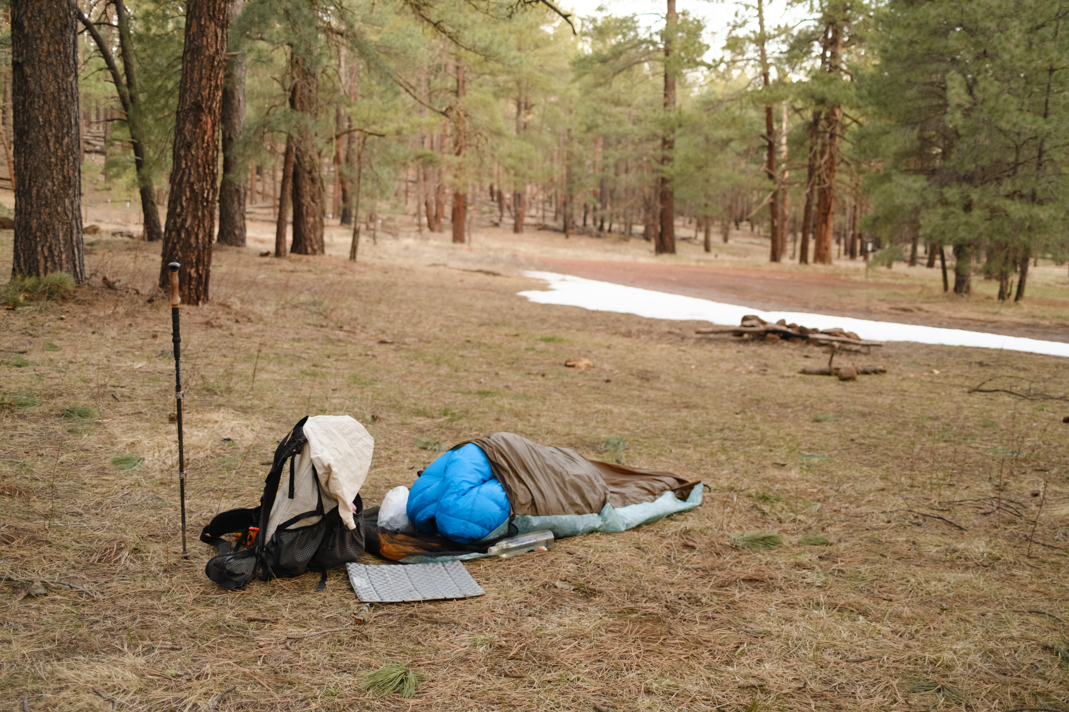
Number of nights sleeping under the stars: 12
Highest elevation in feet: 9,000
Biggest uphill climb in vertical feet (Colorado River to North
Rim): 6,000
Number of stock gates opened and closed: more than 70
Miles: 338
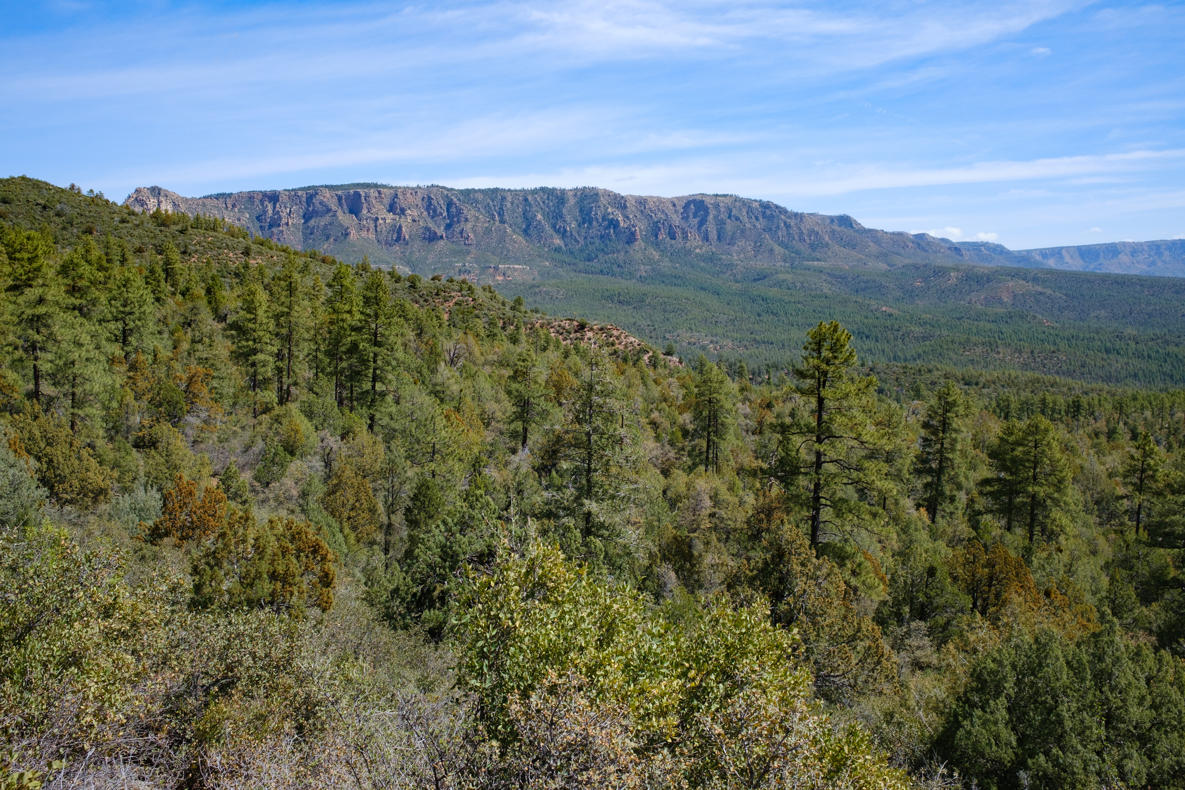
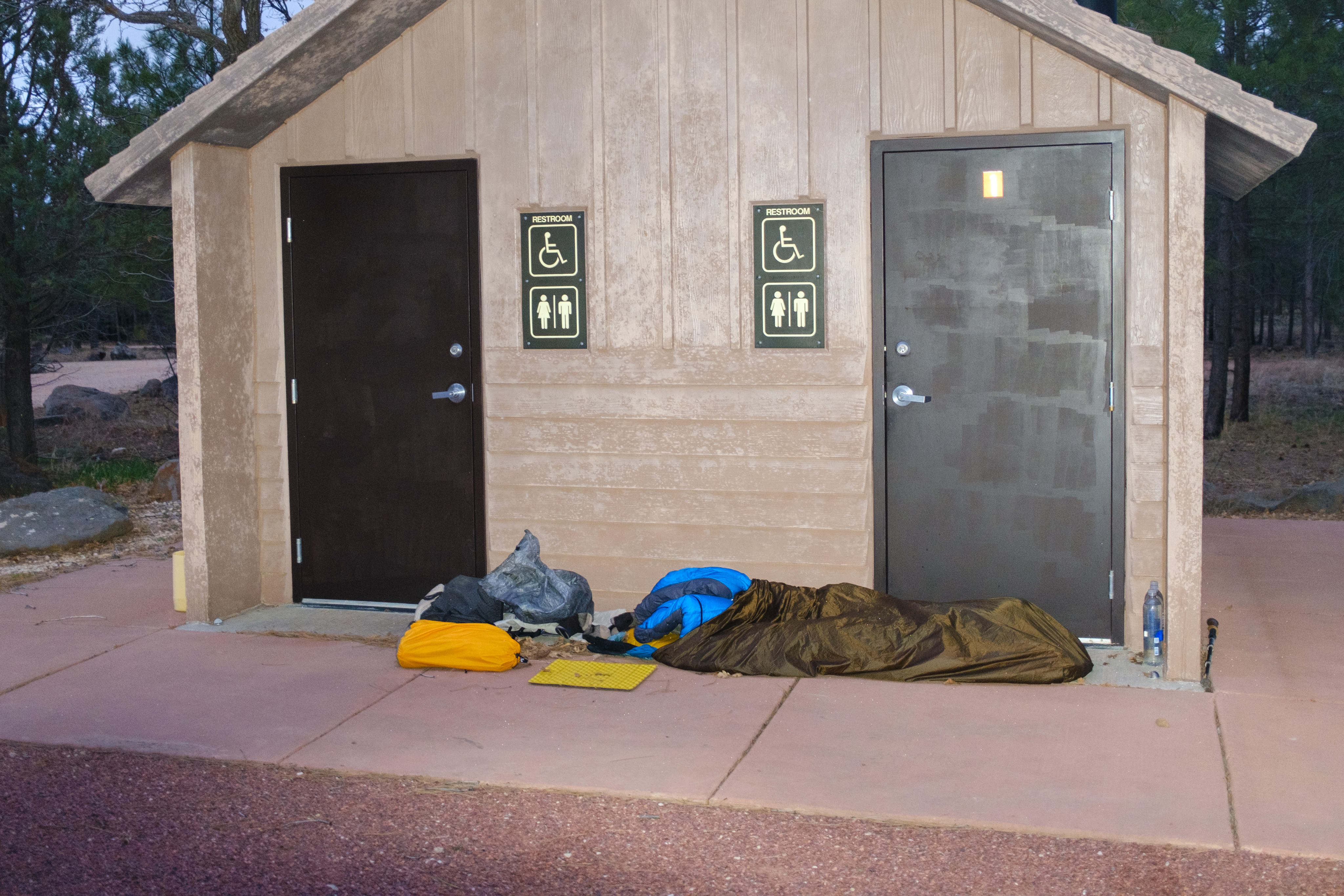
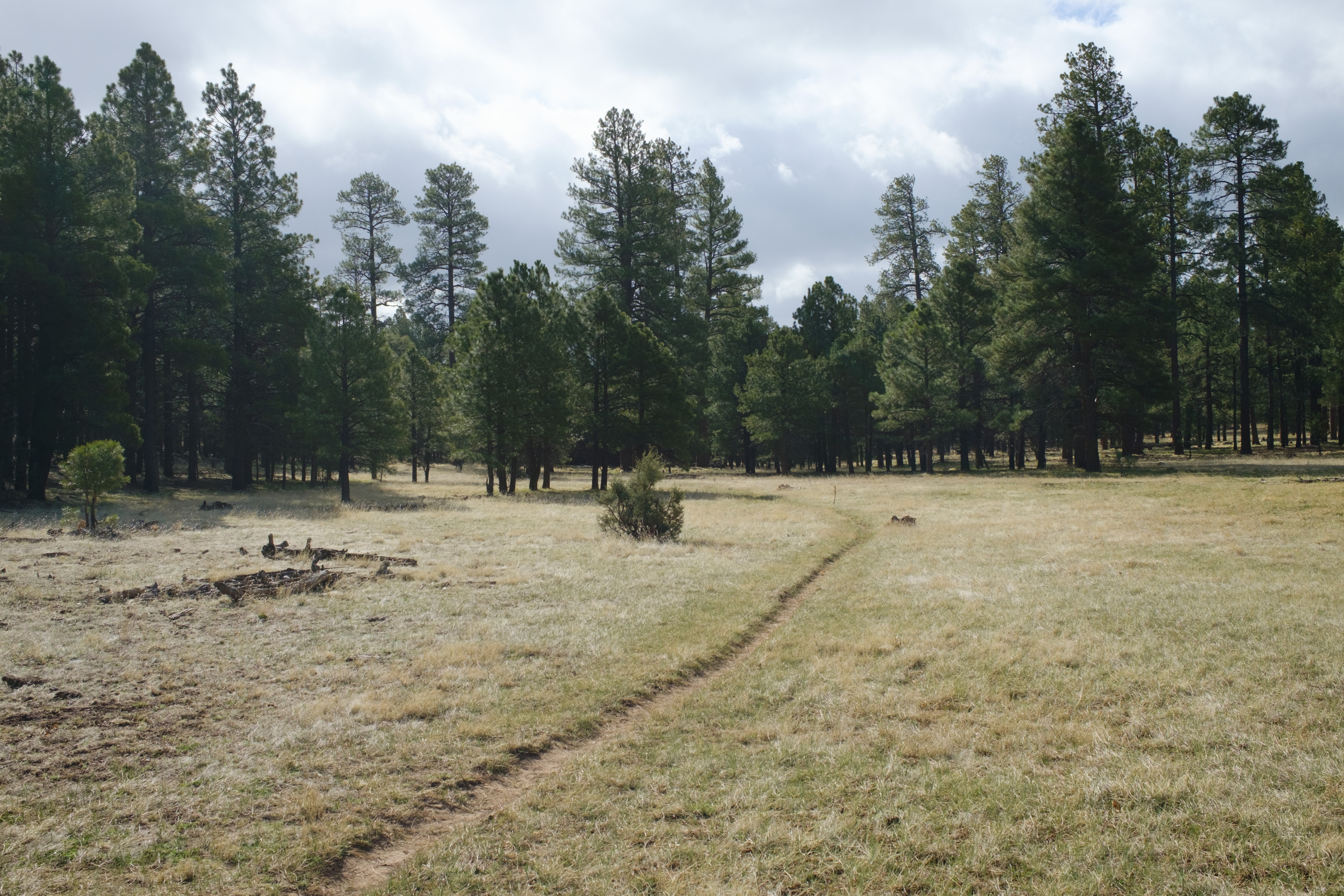
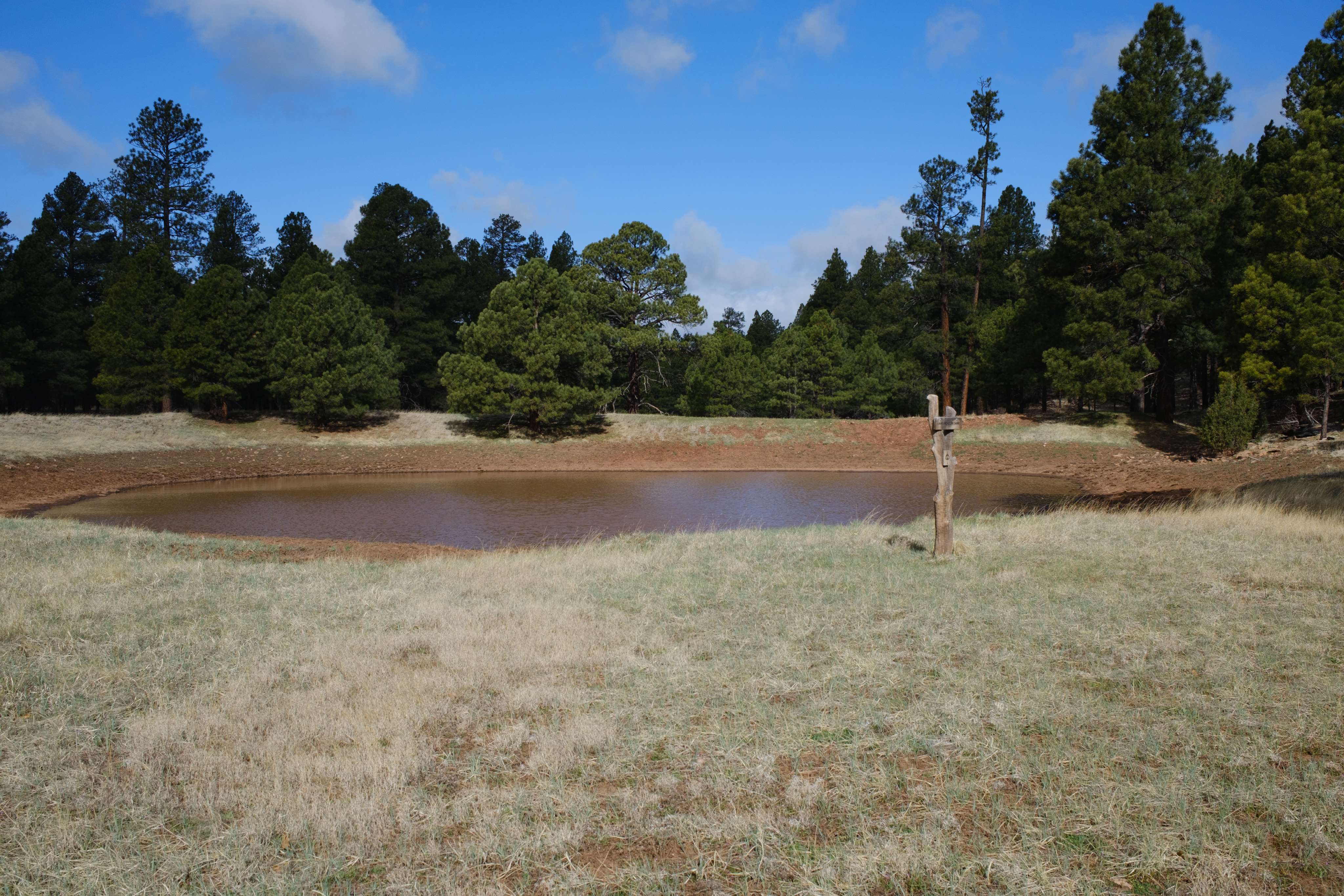
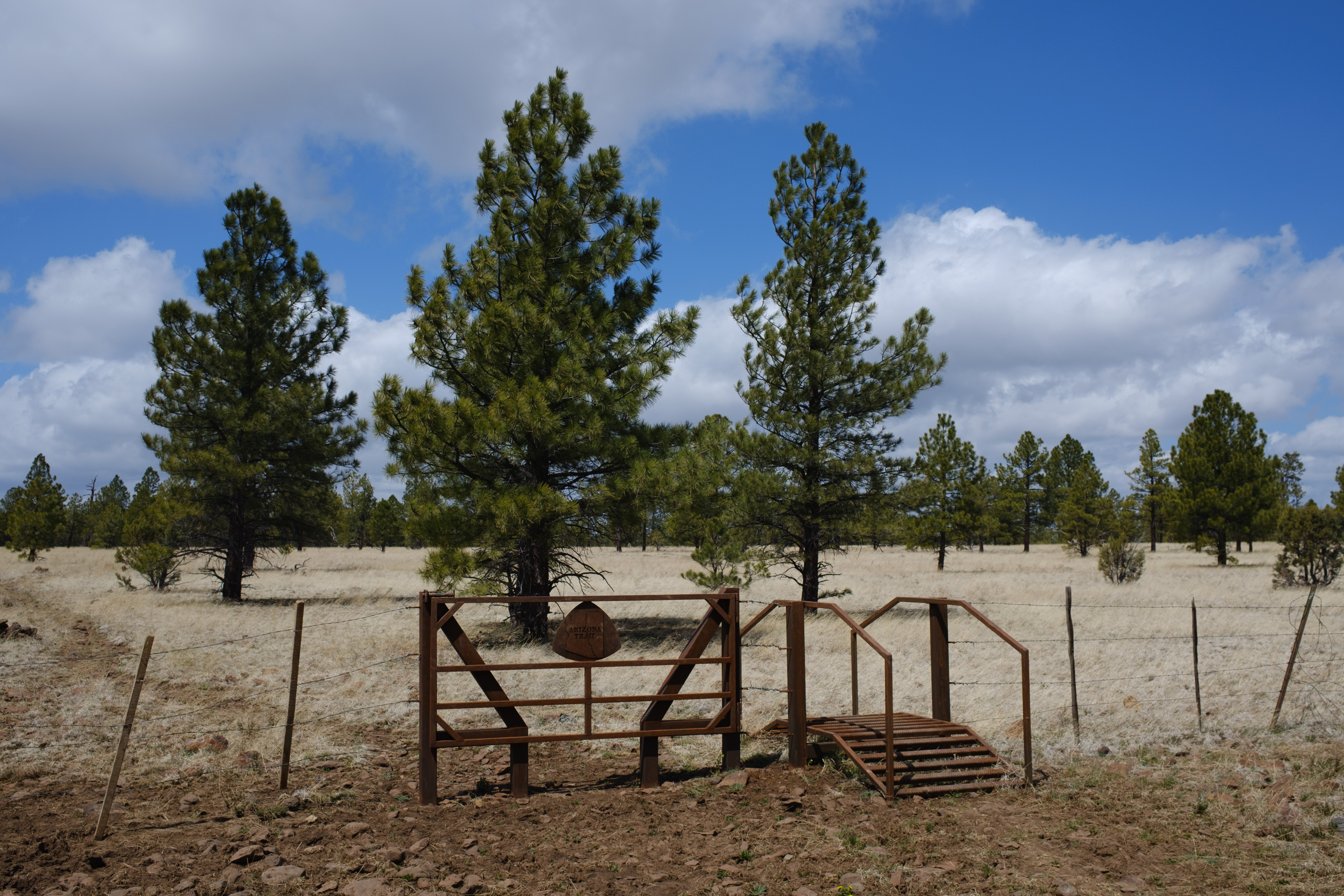
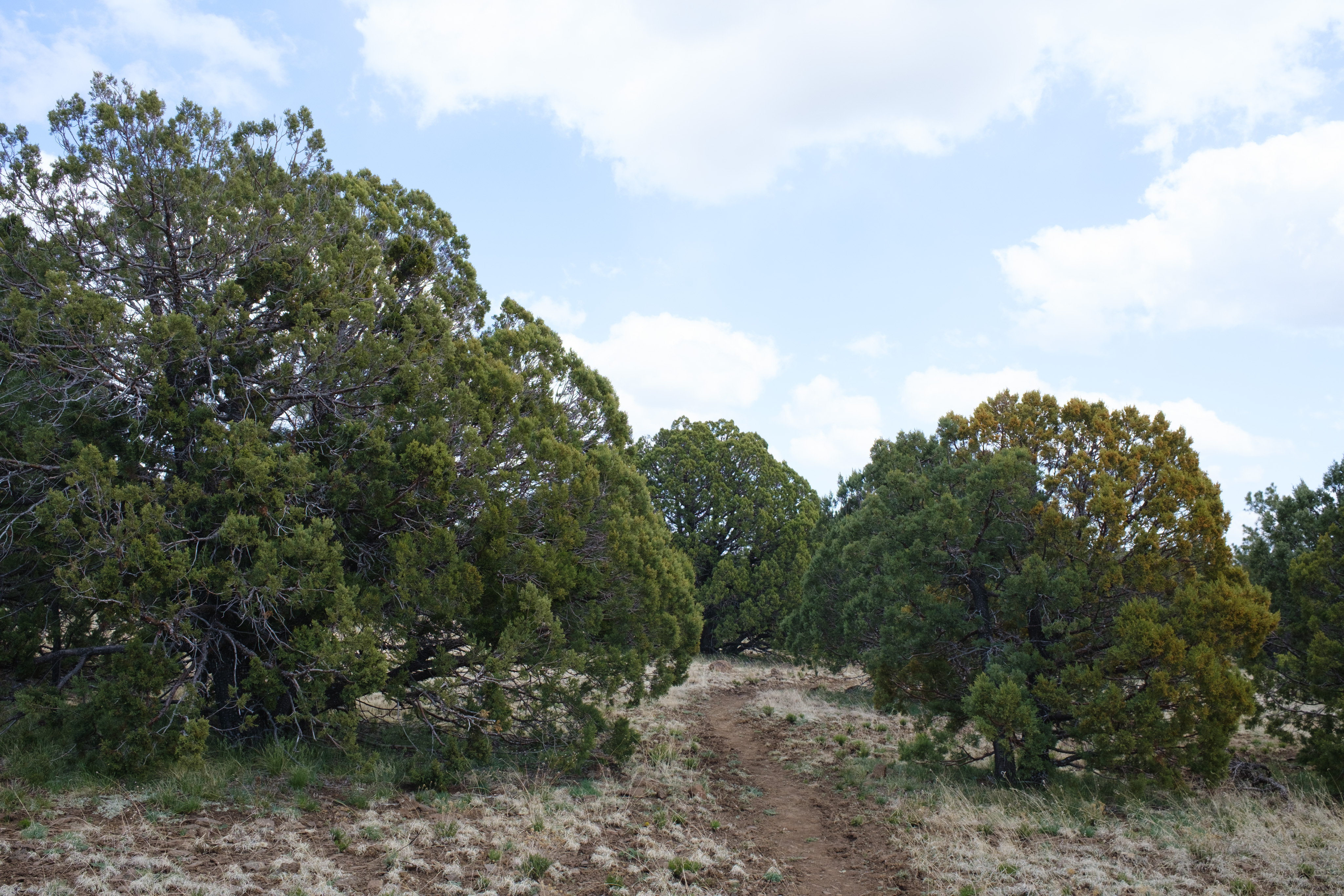
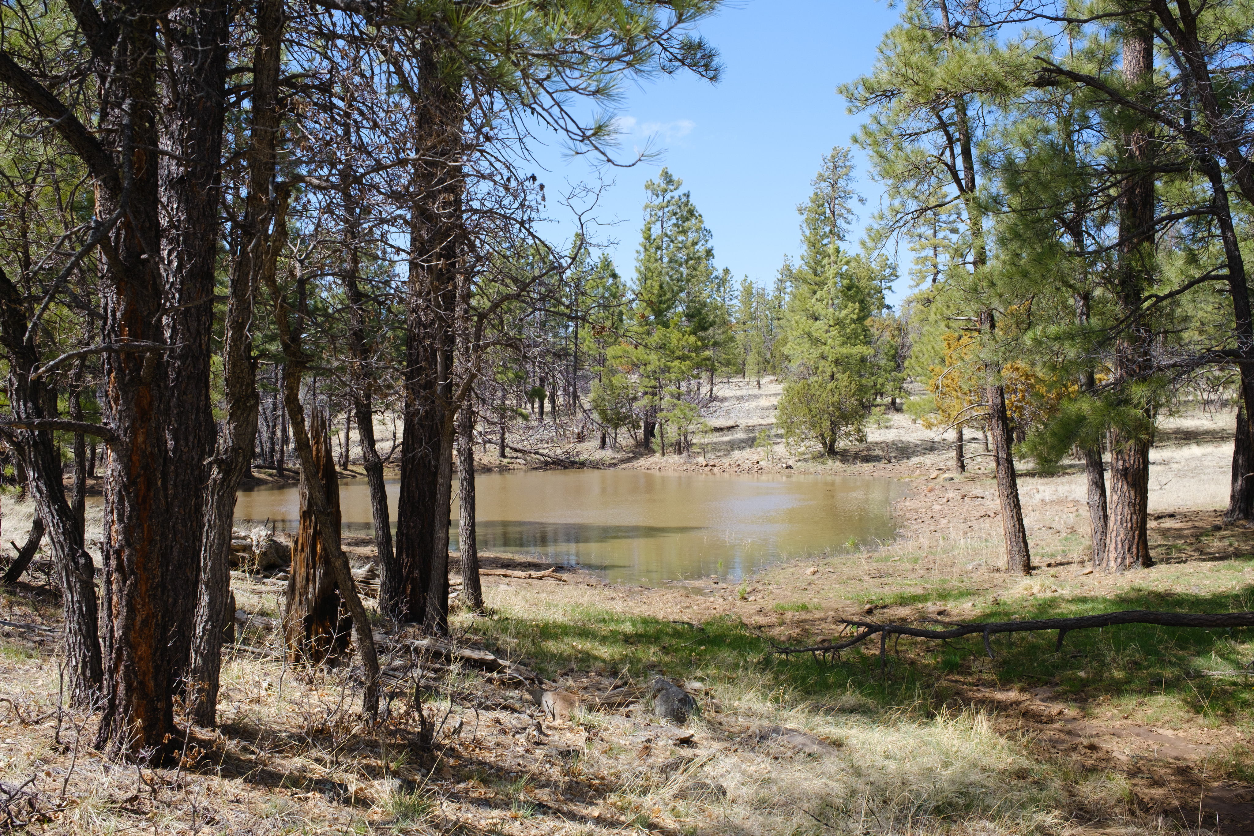
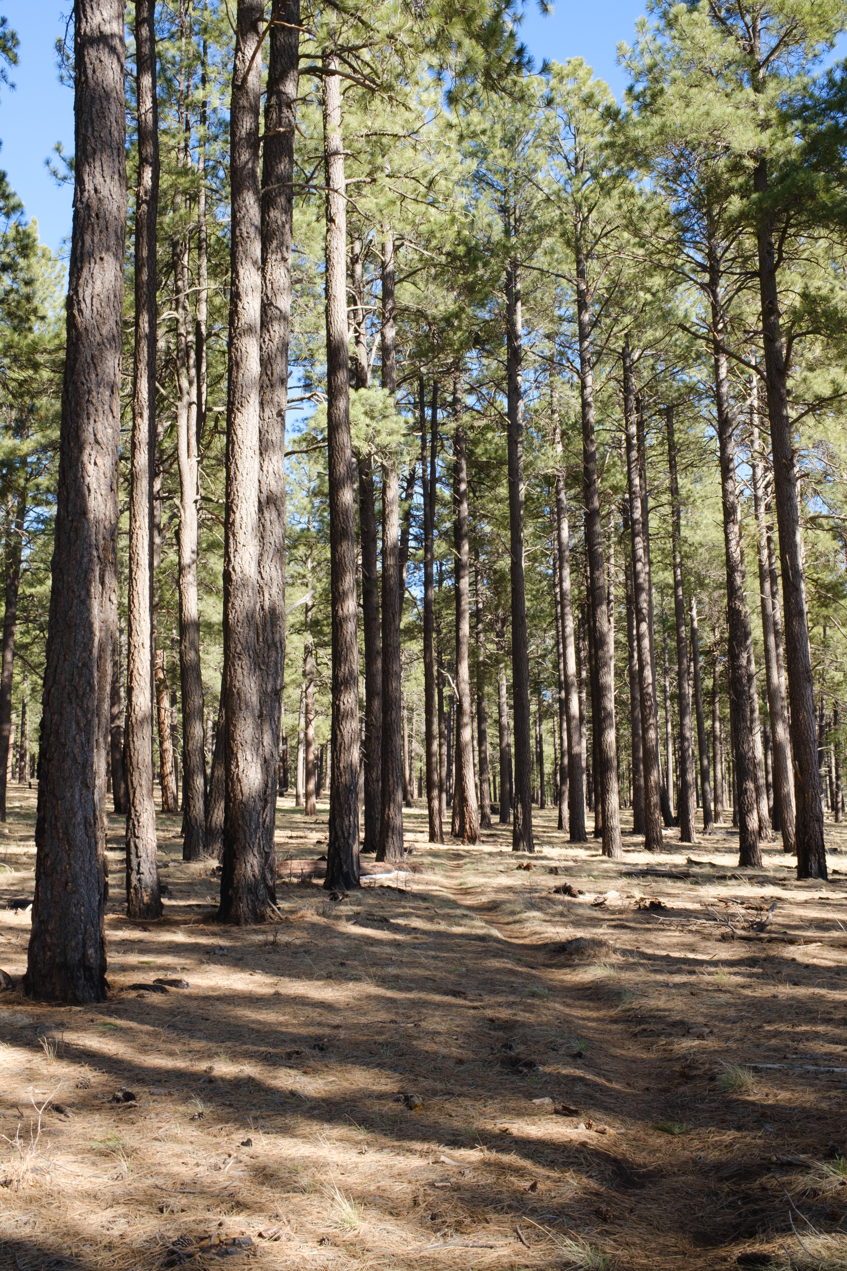
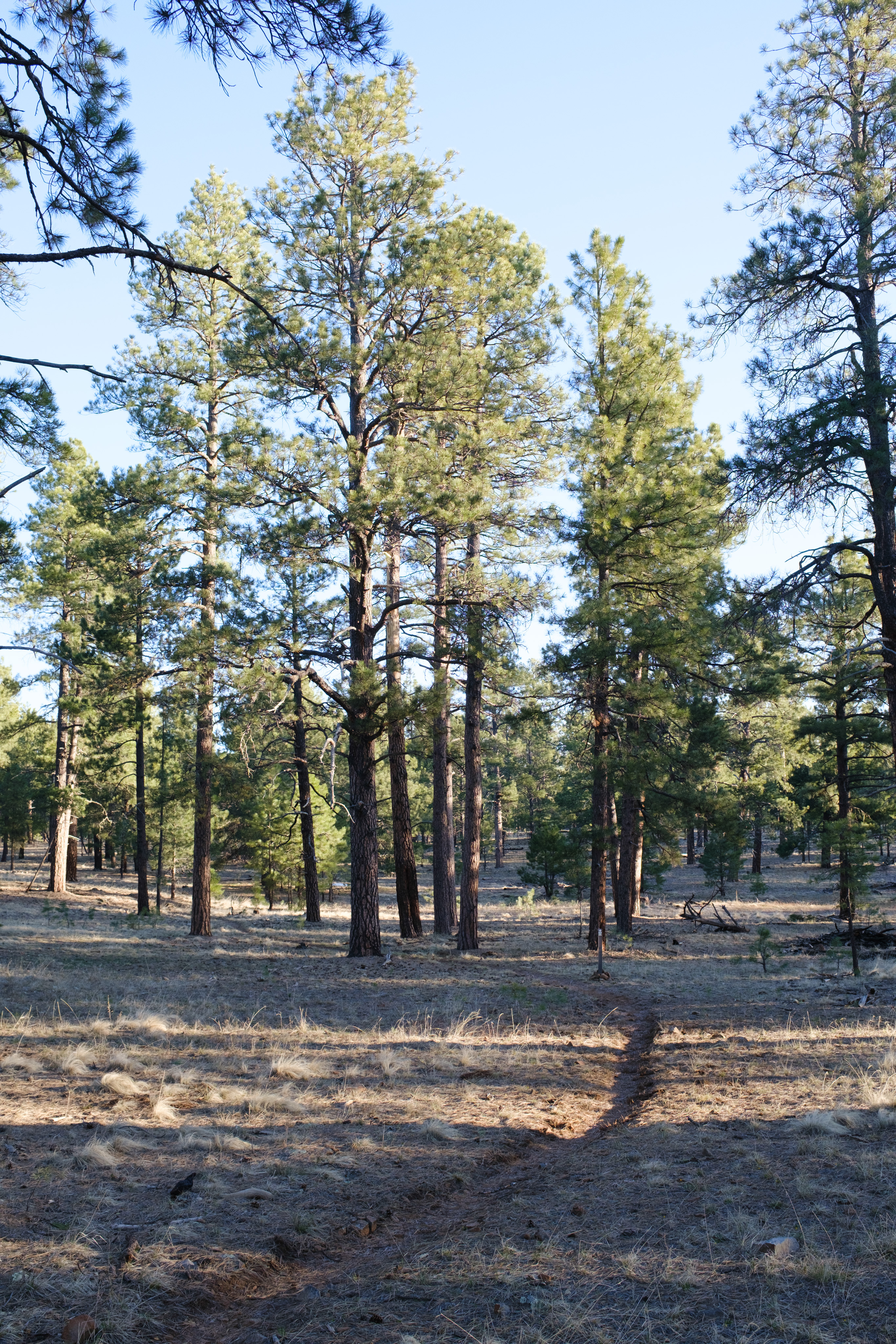
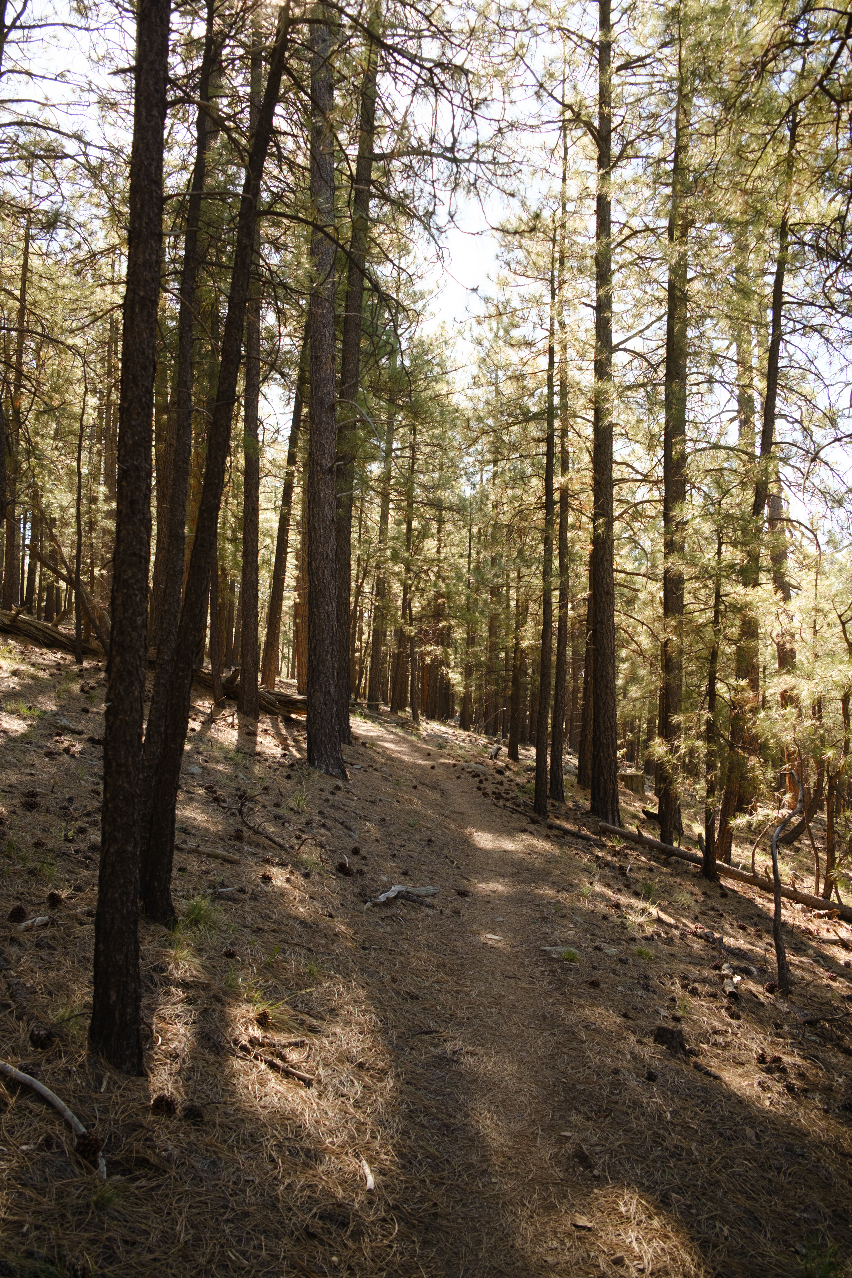
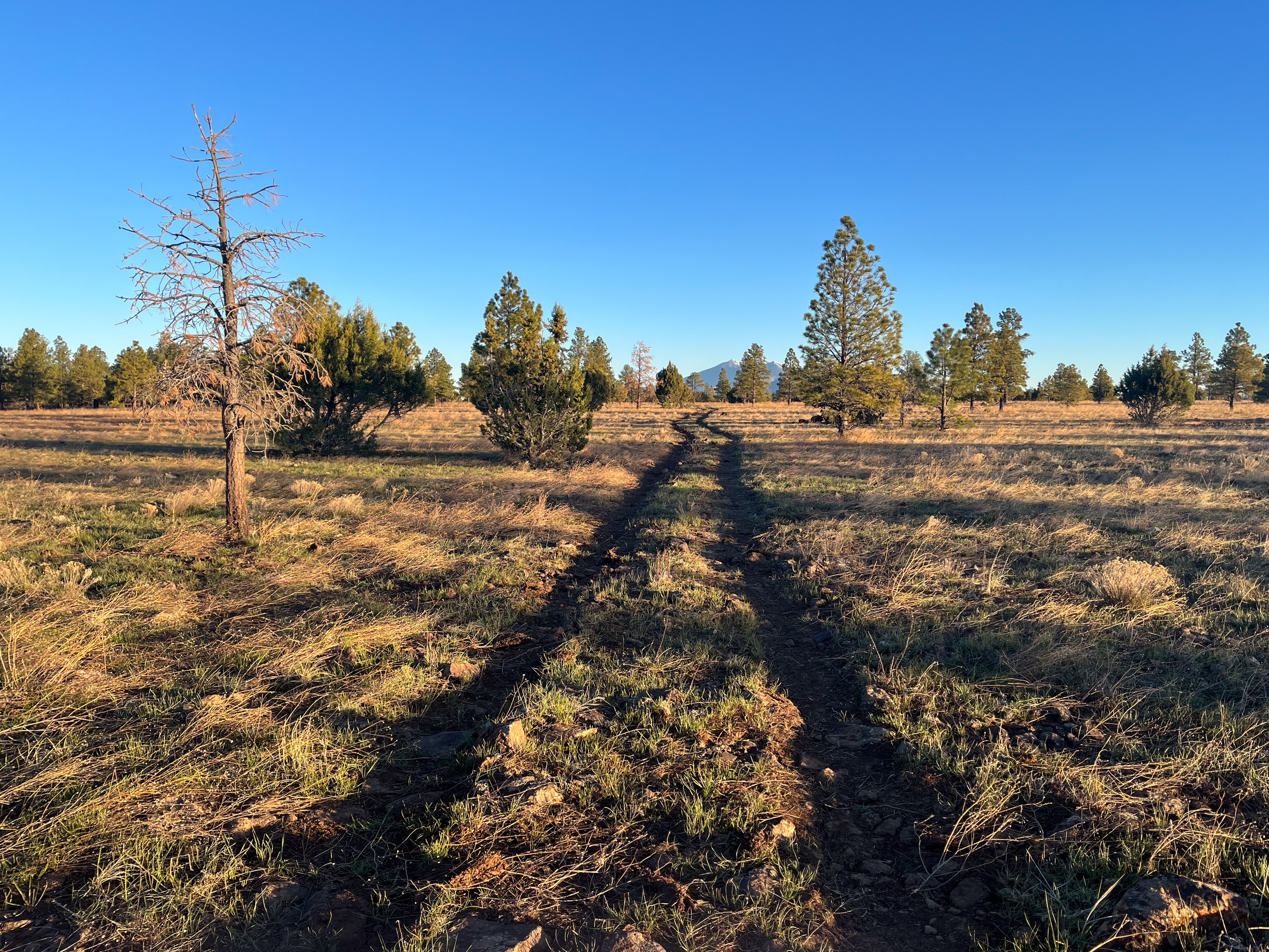
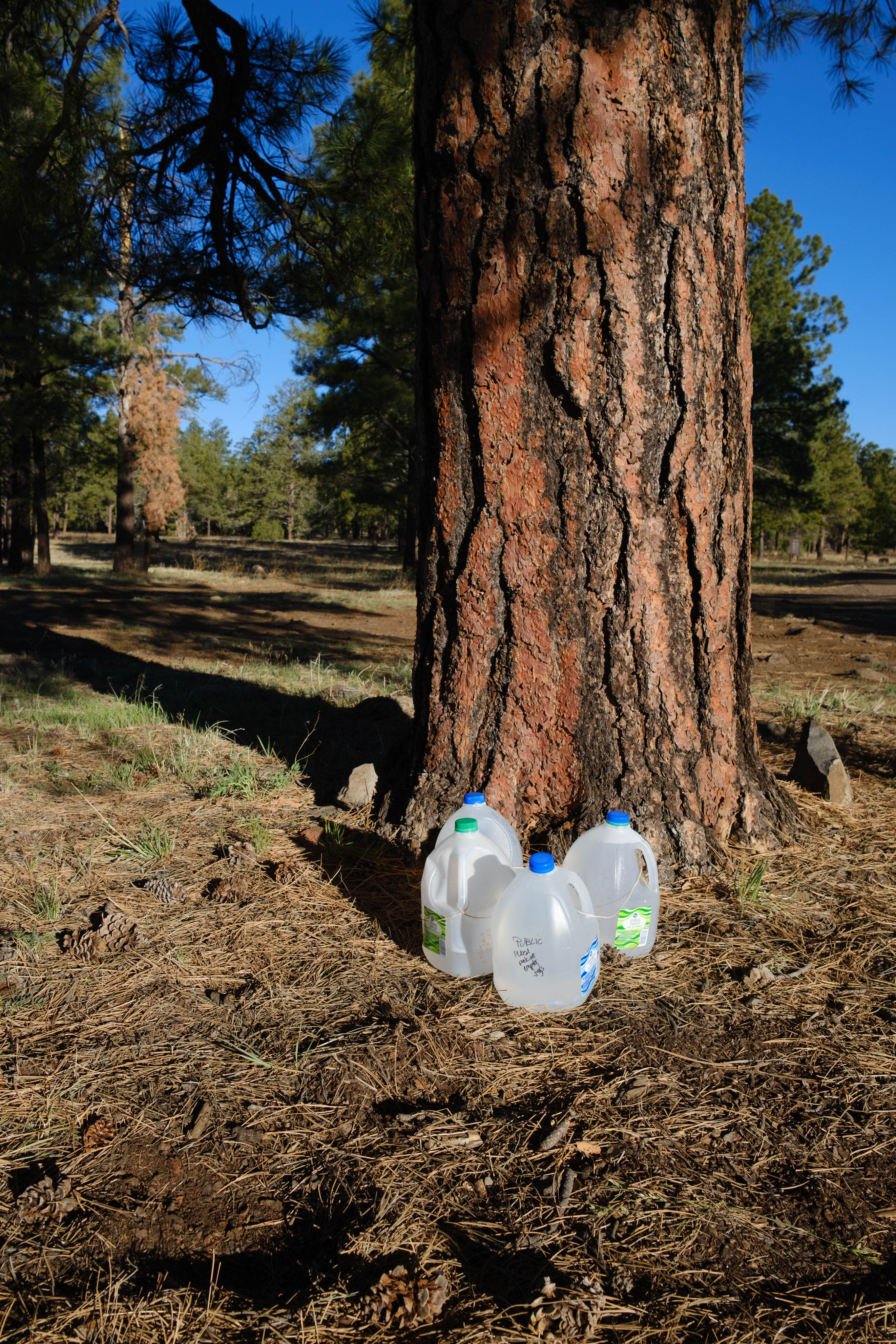
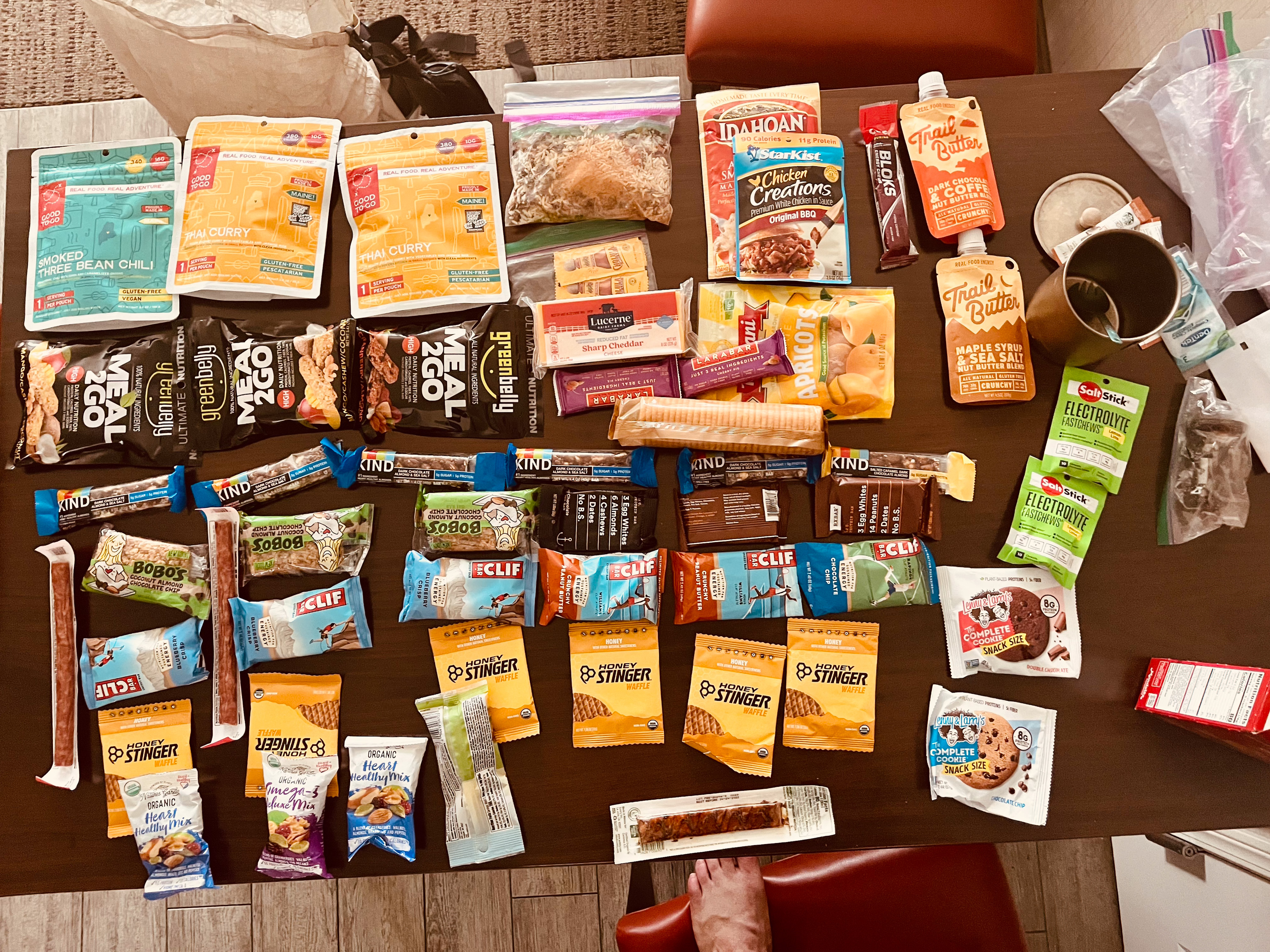
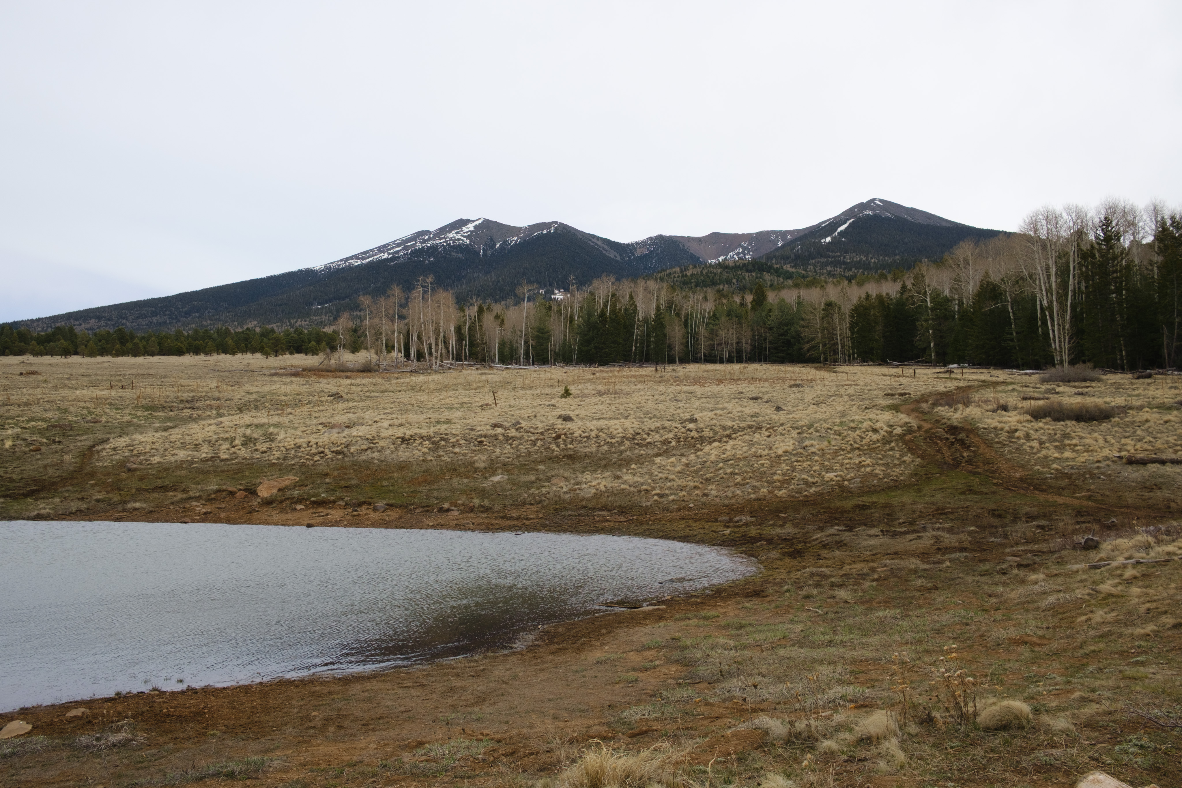
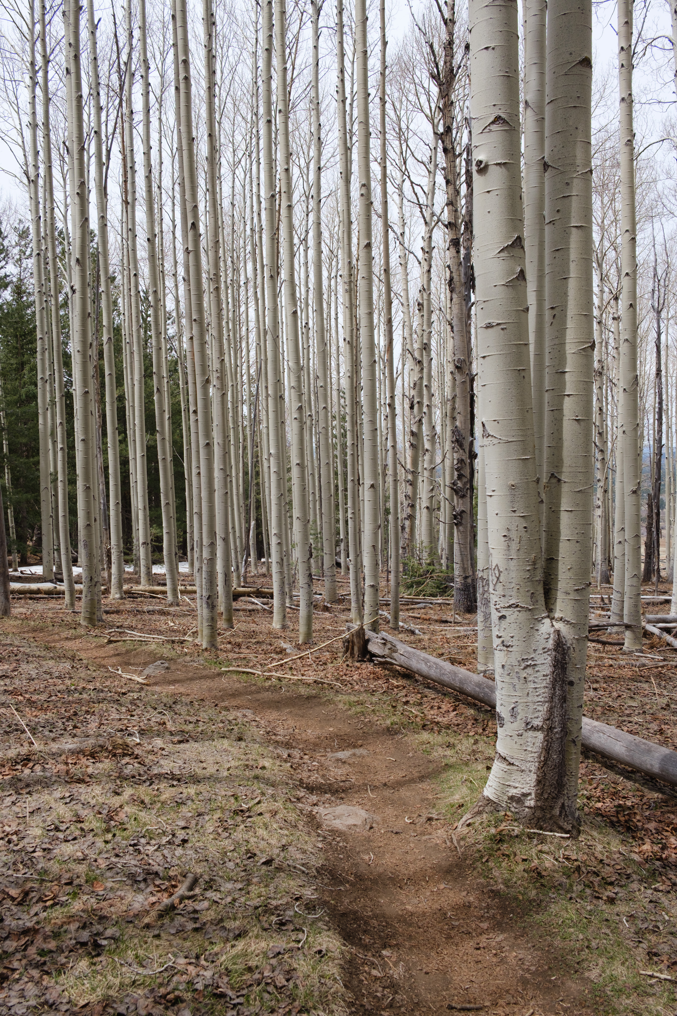
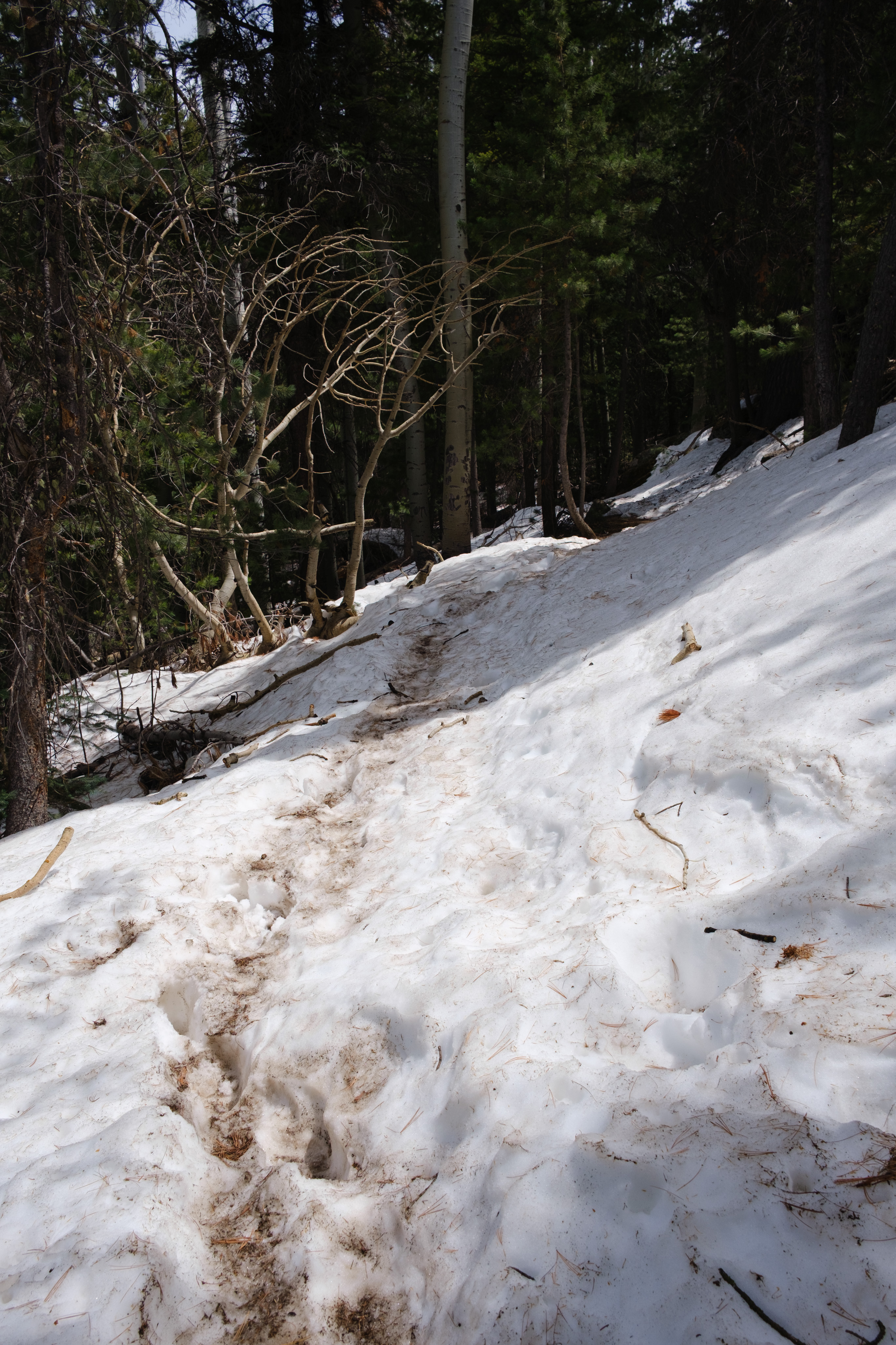
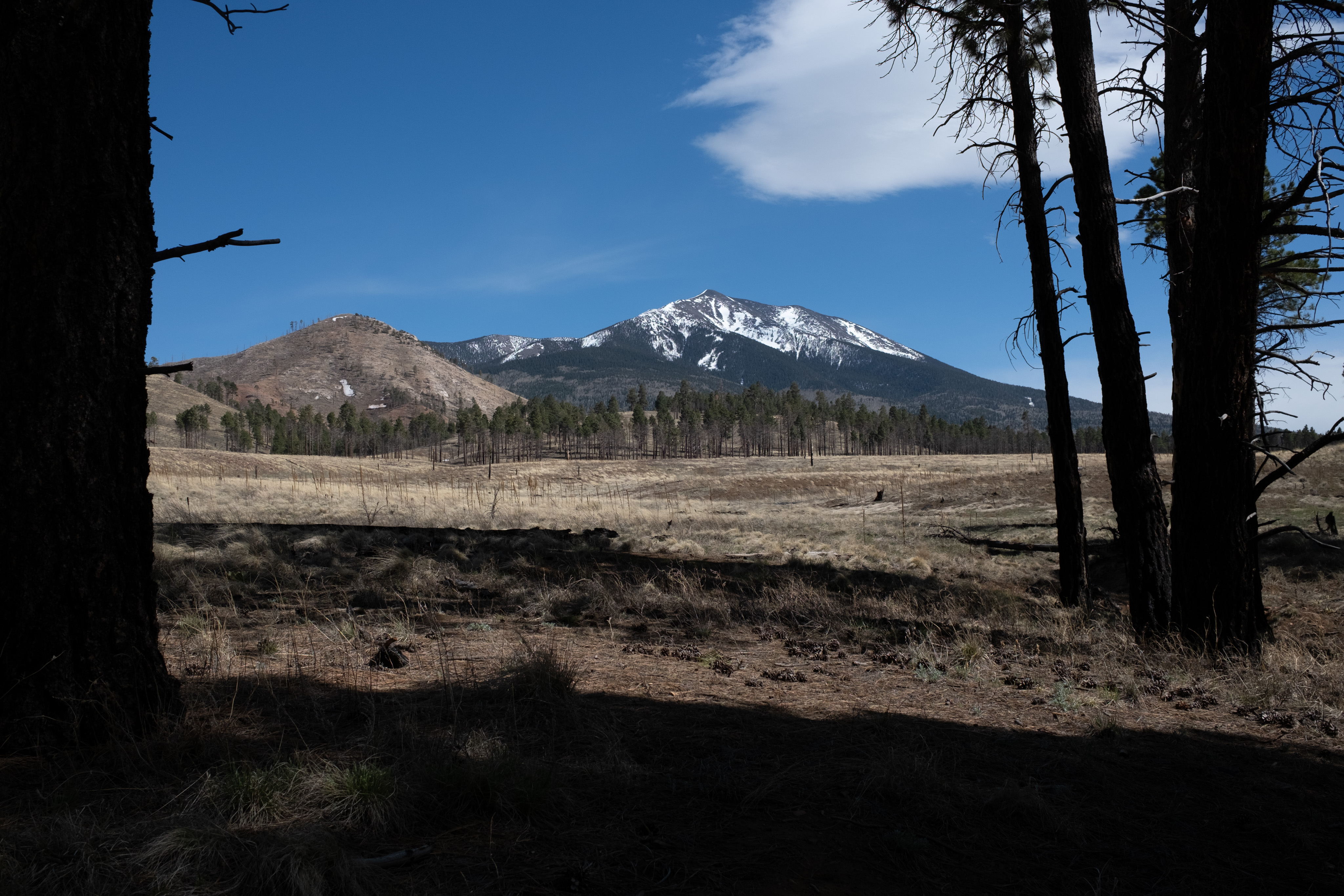
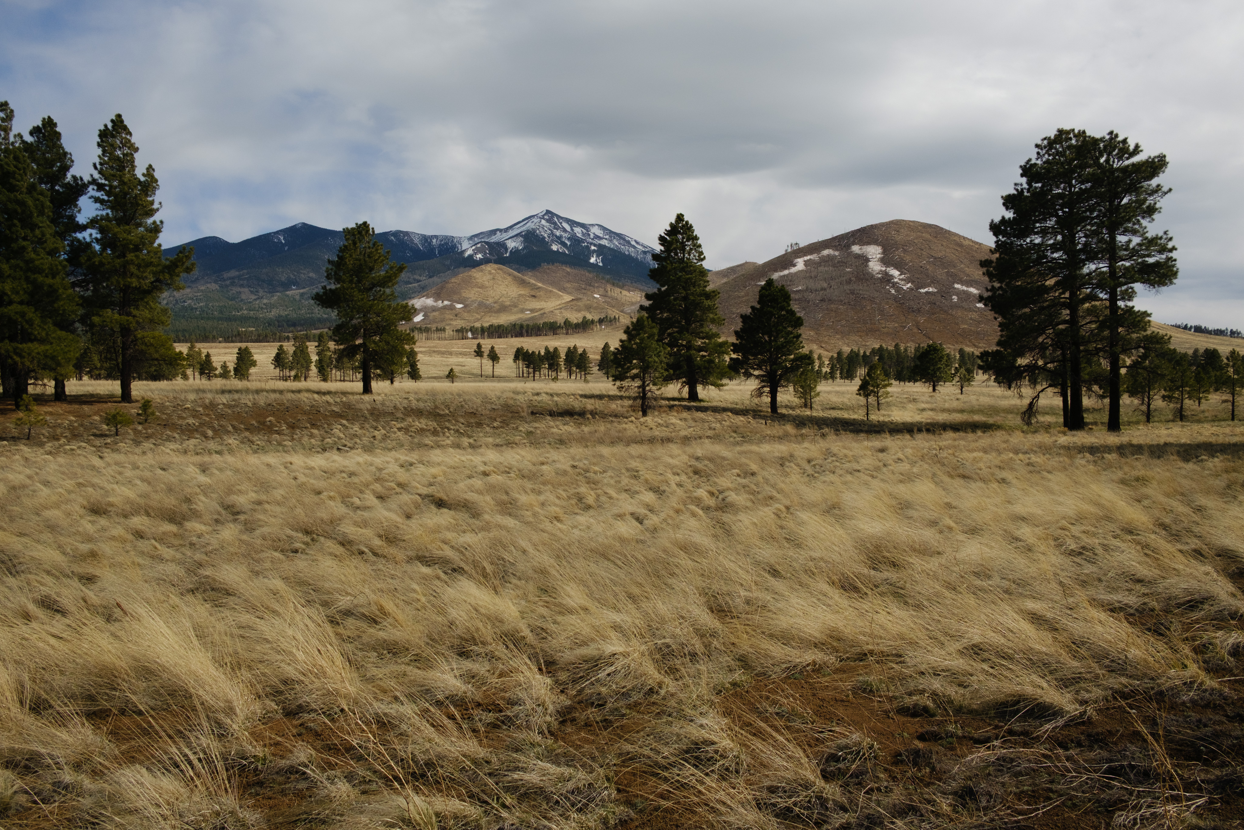
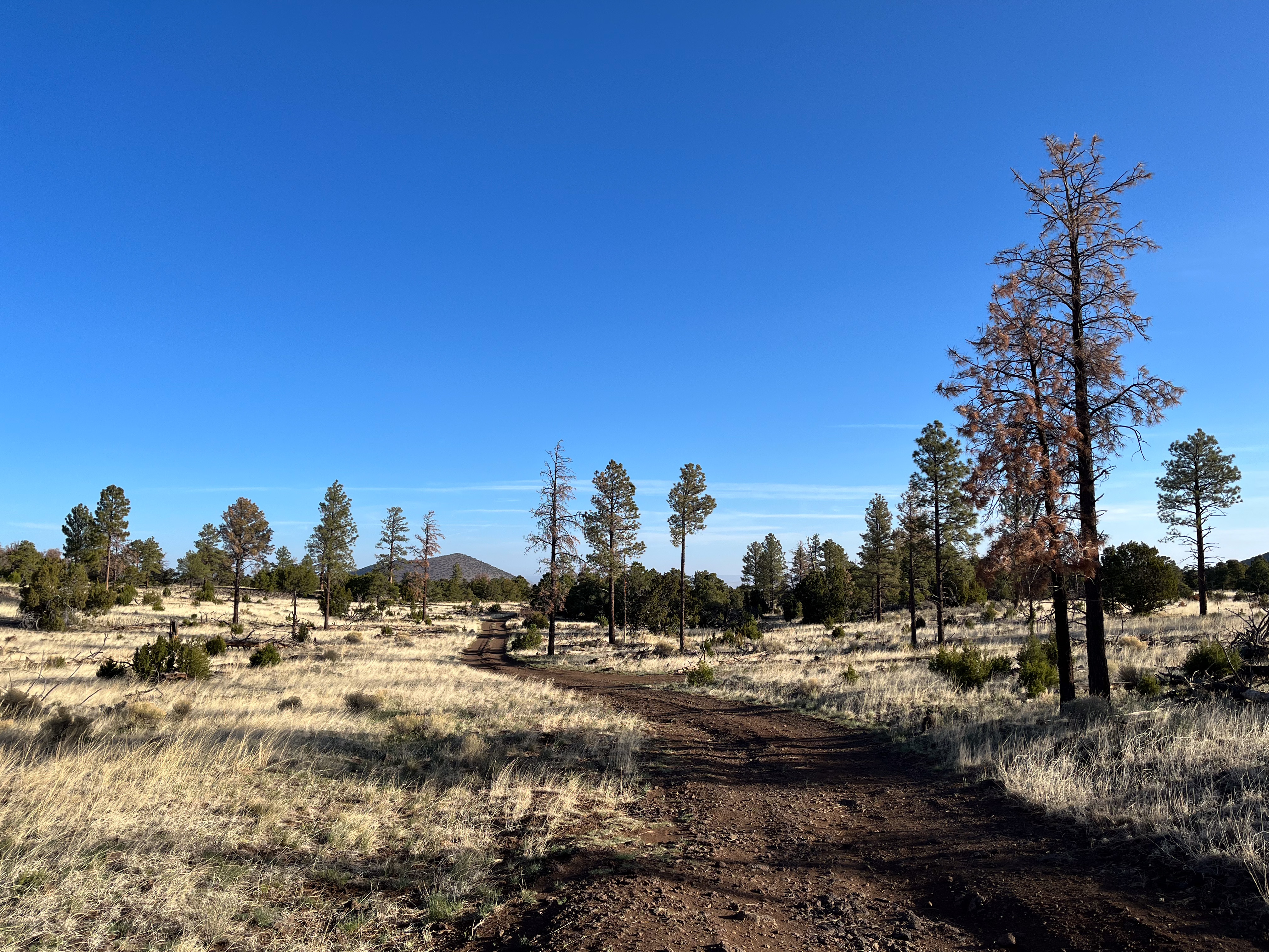
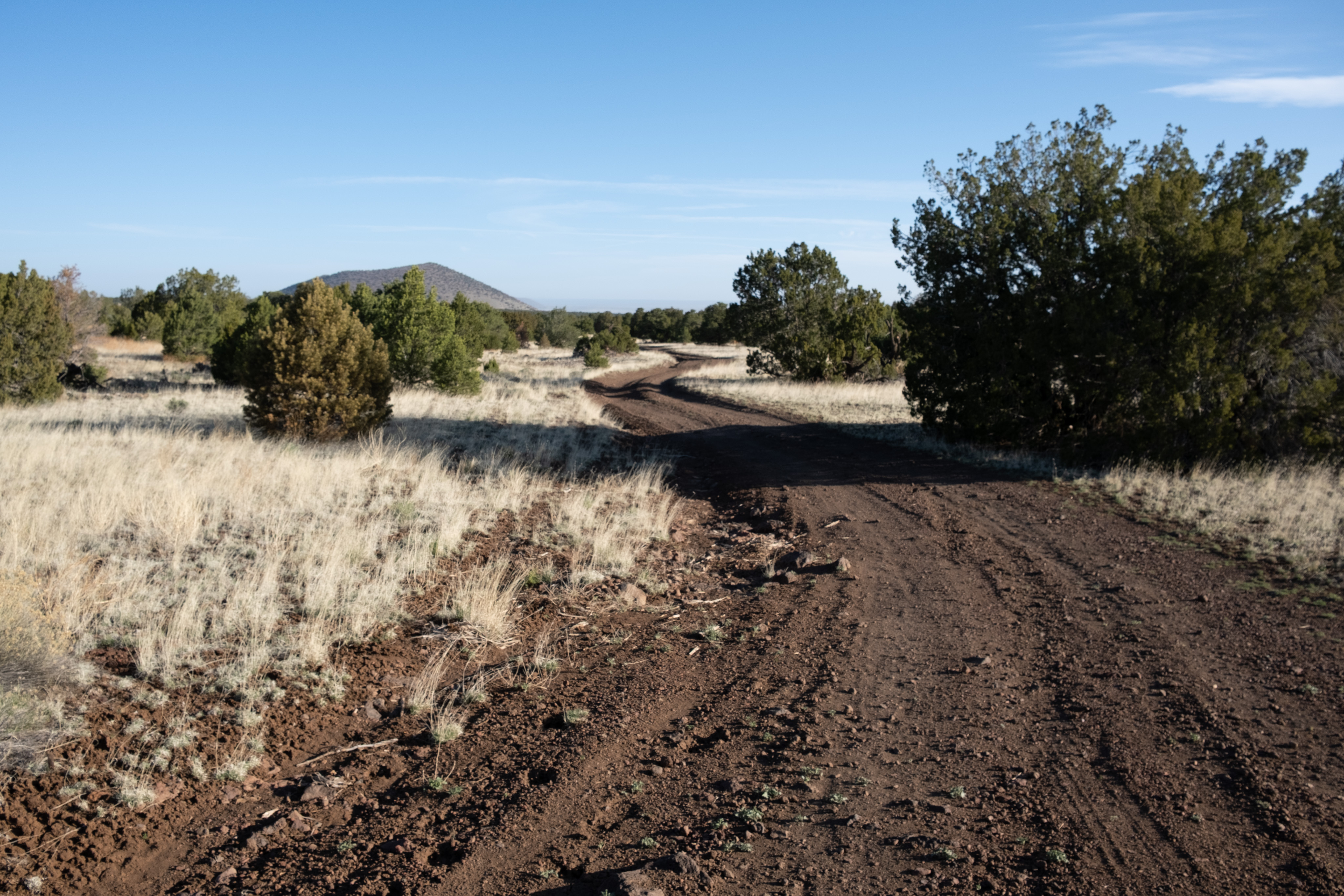
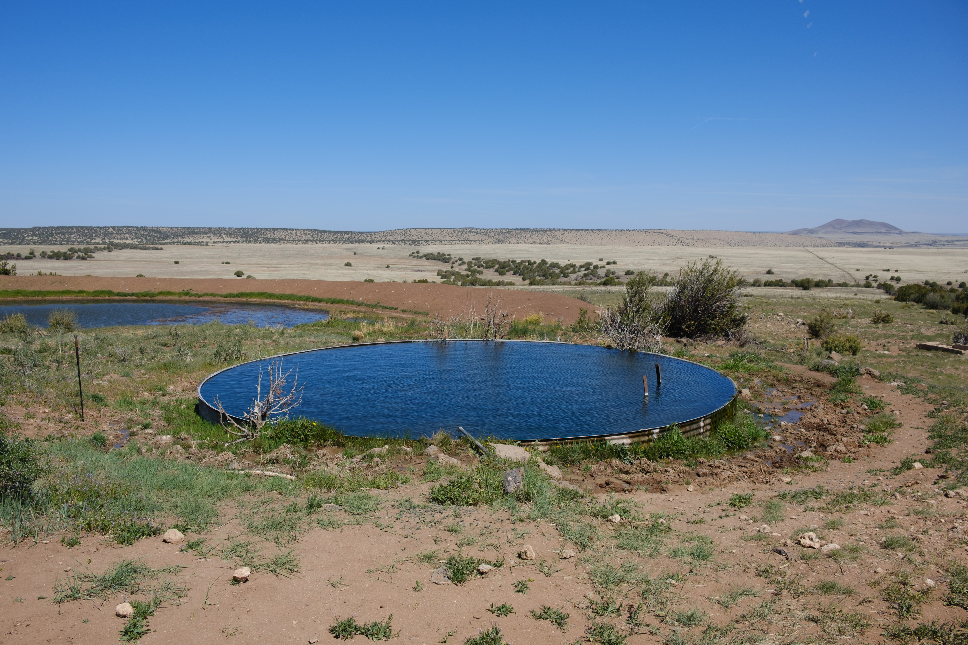
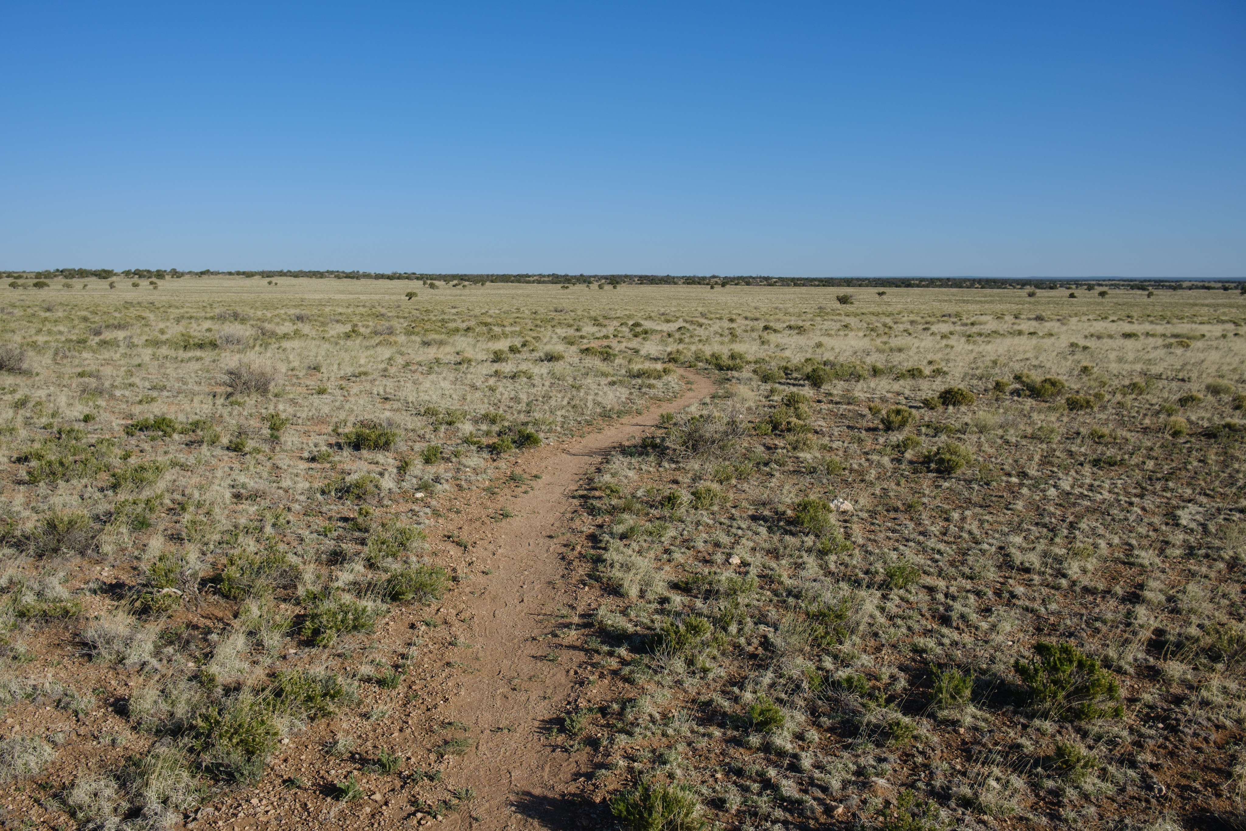
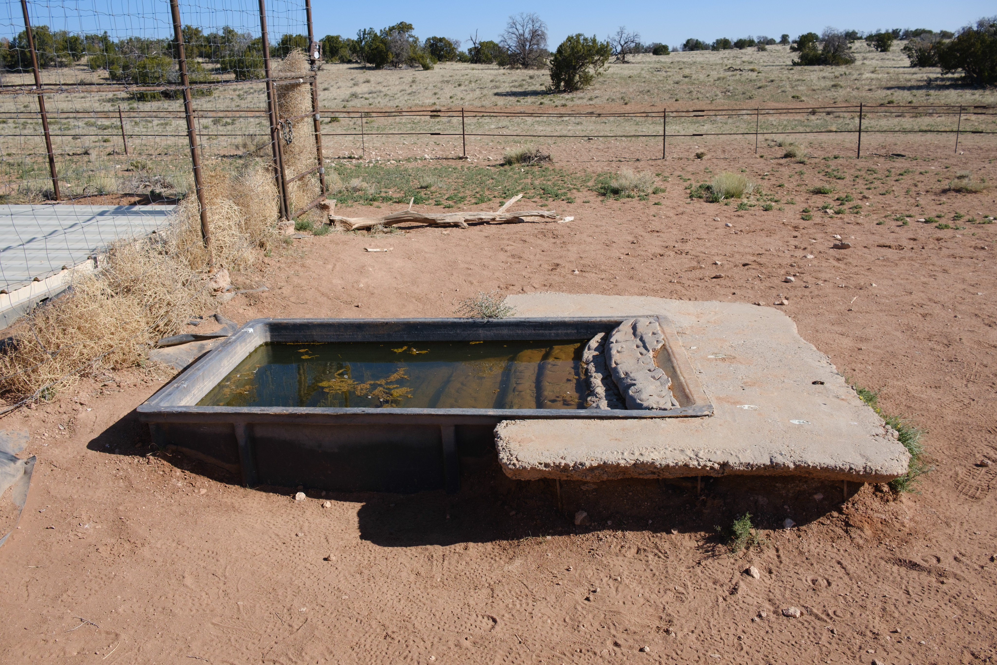
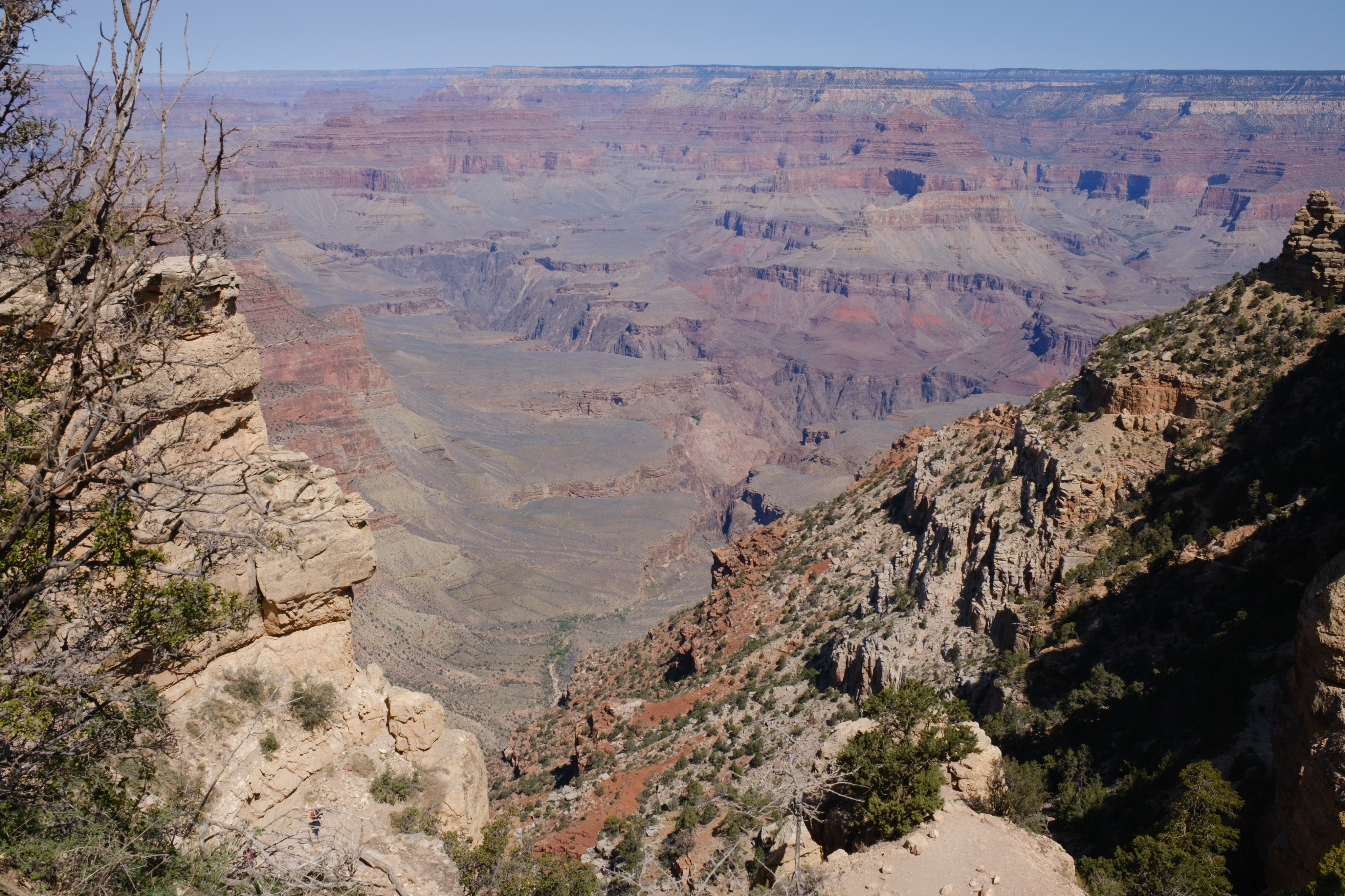
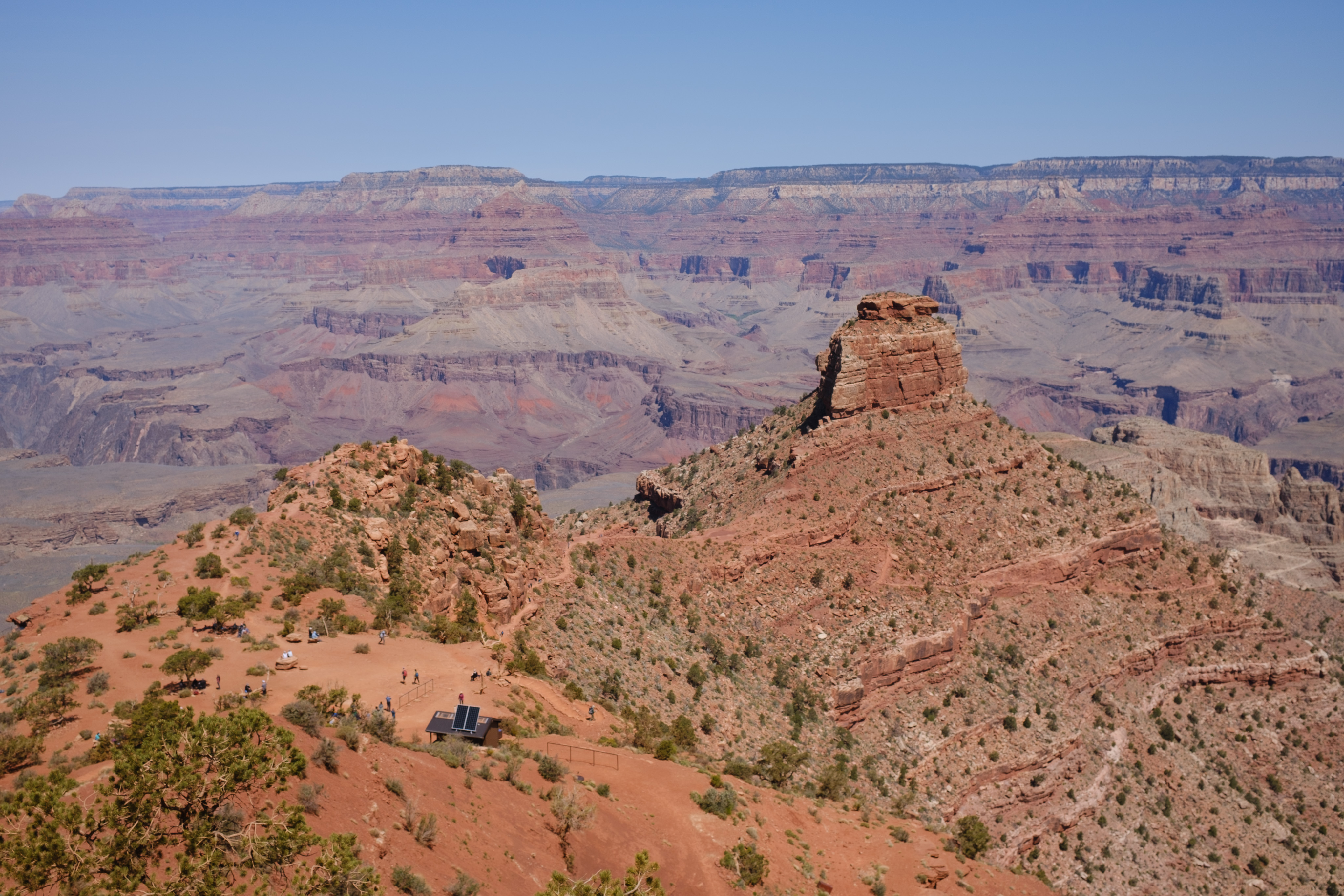
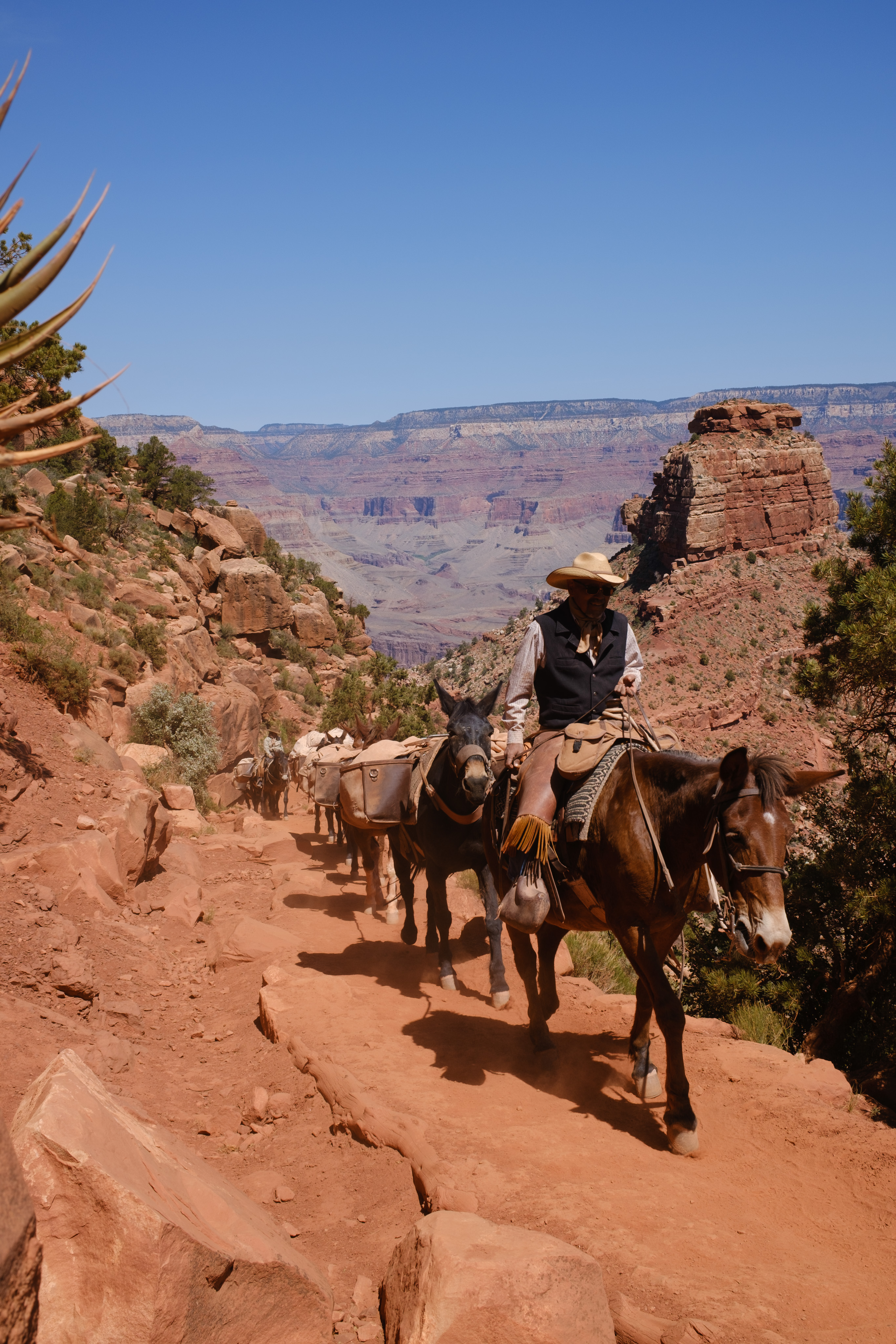
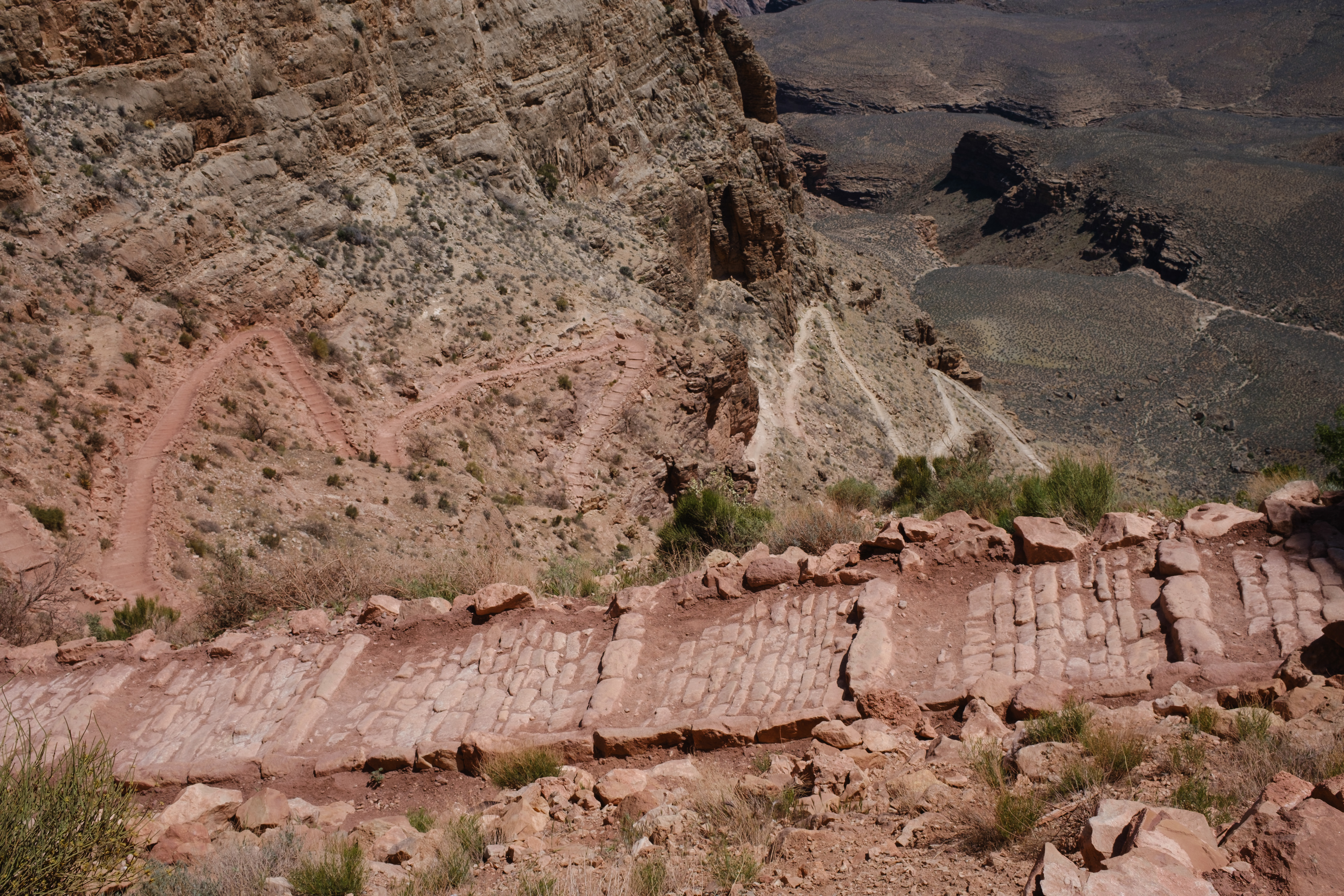
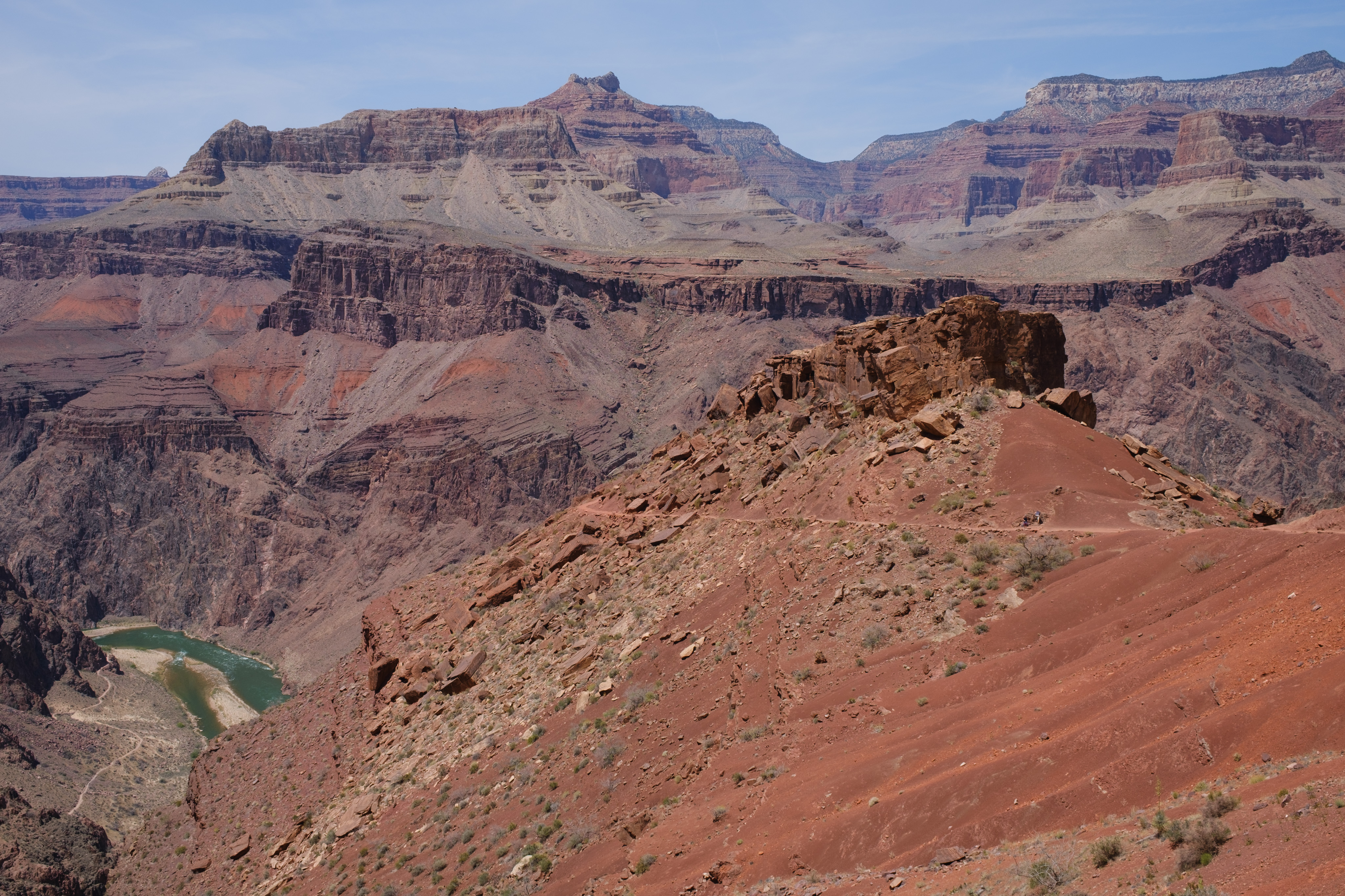
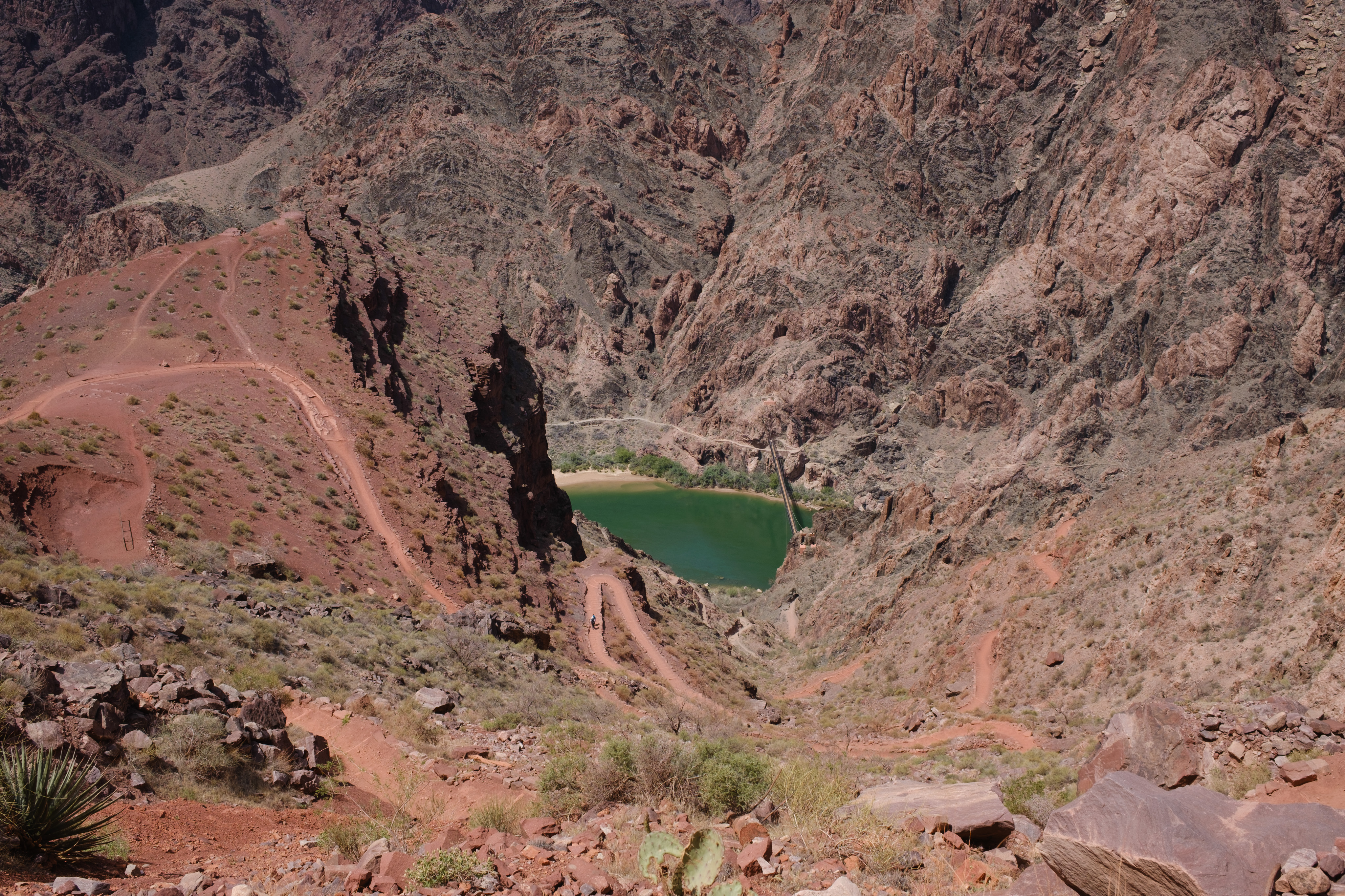
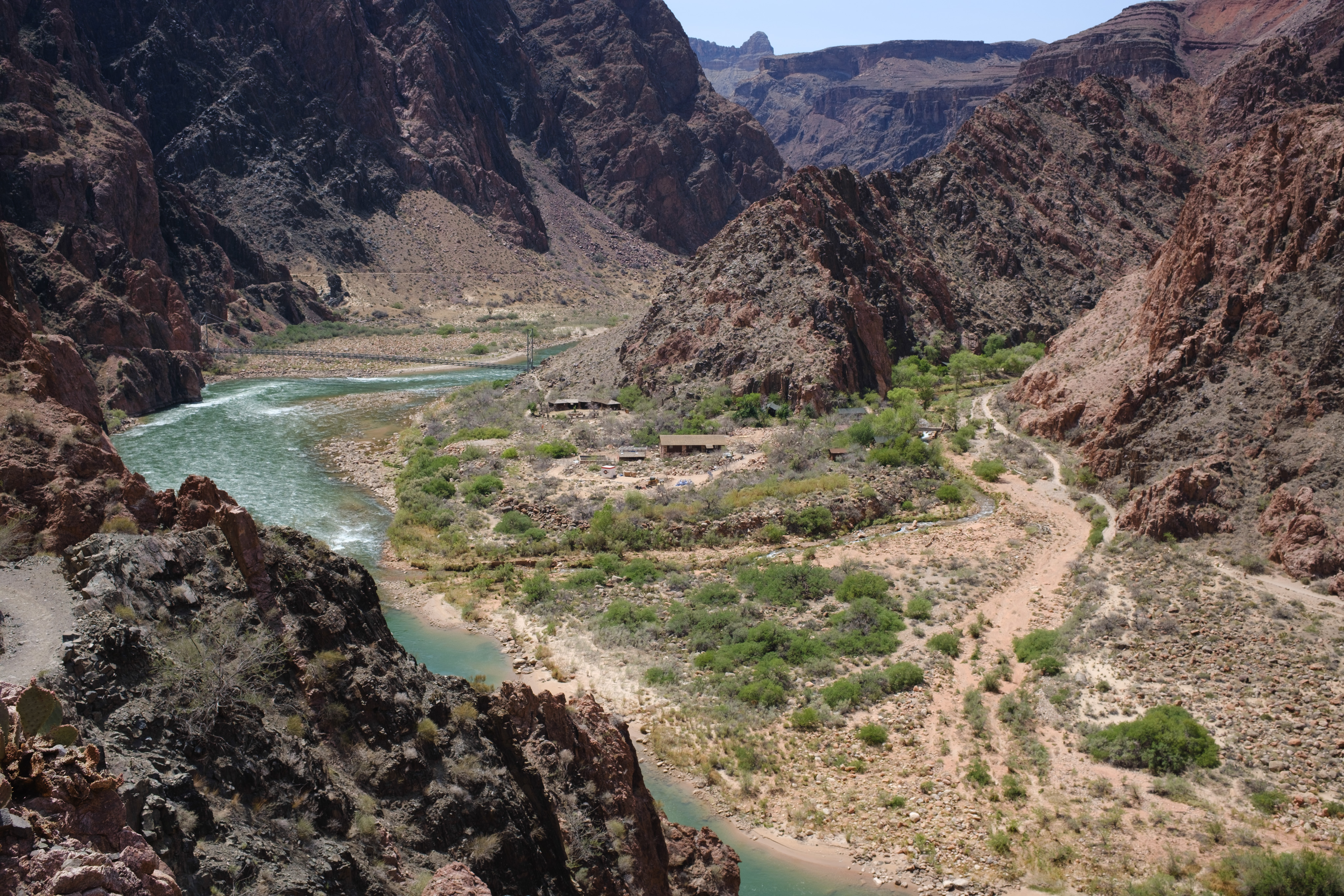
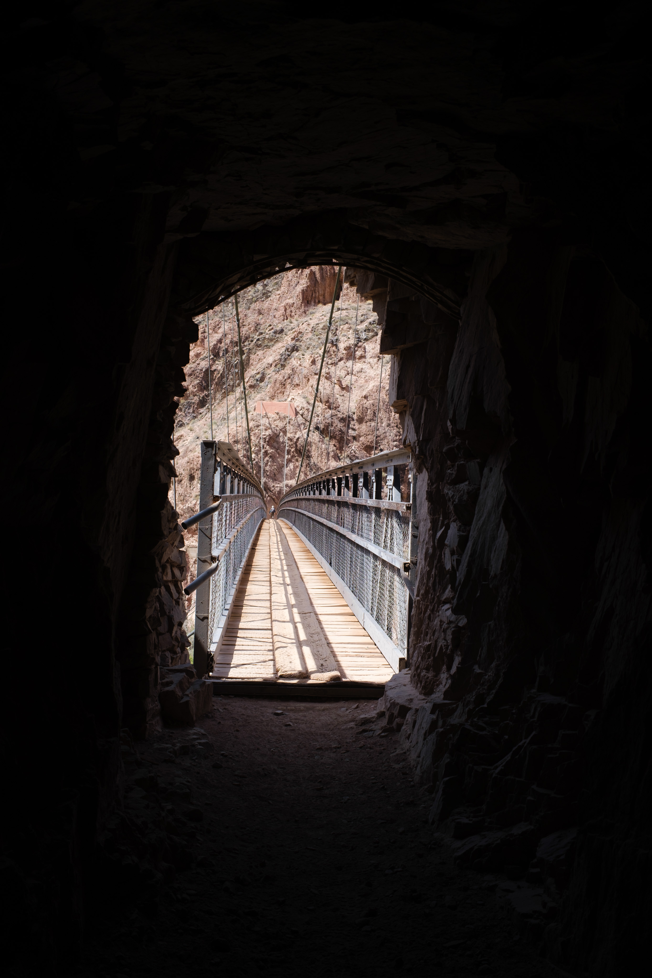
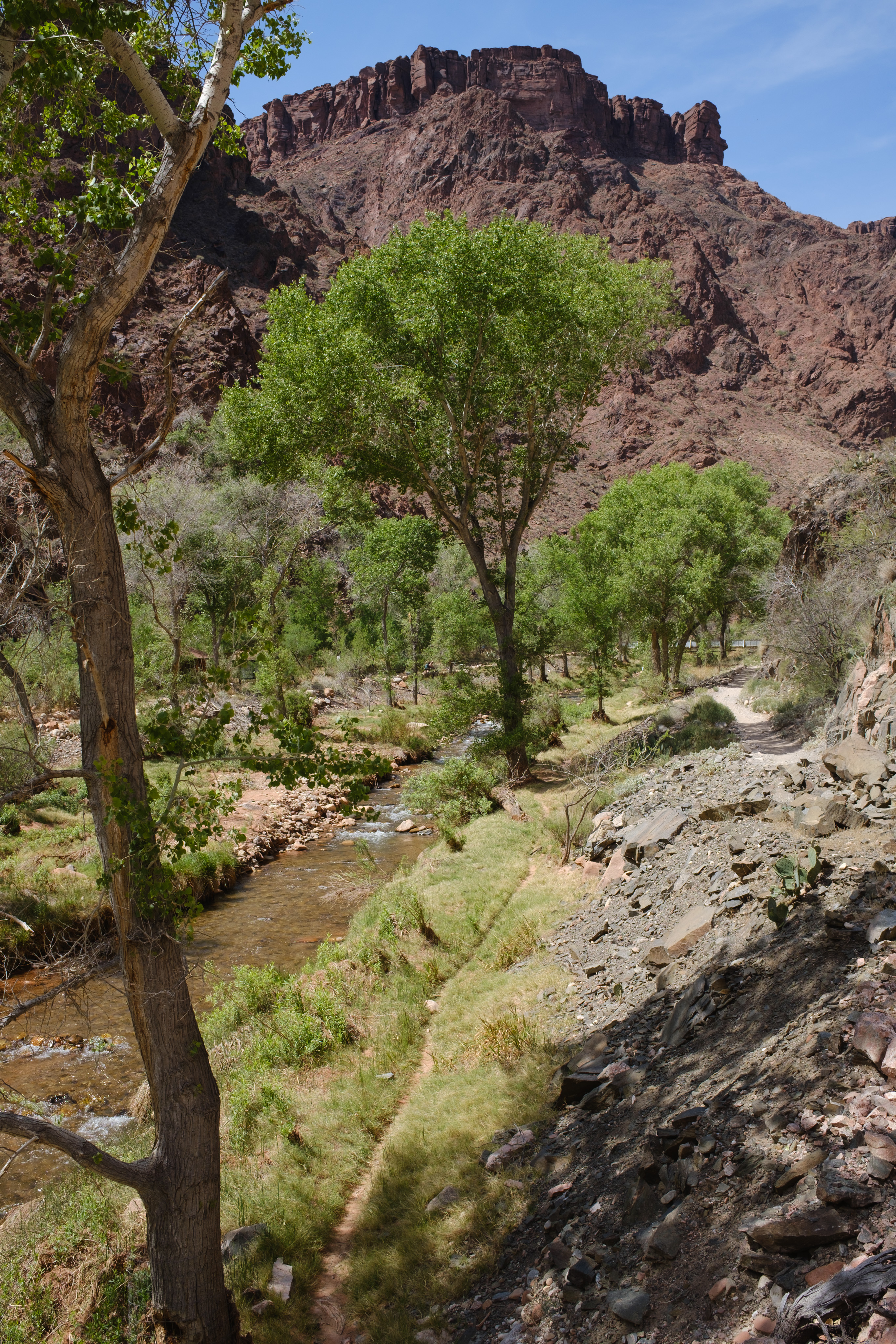
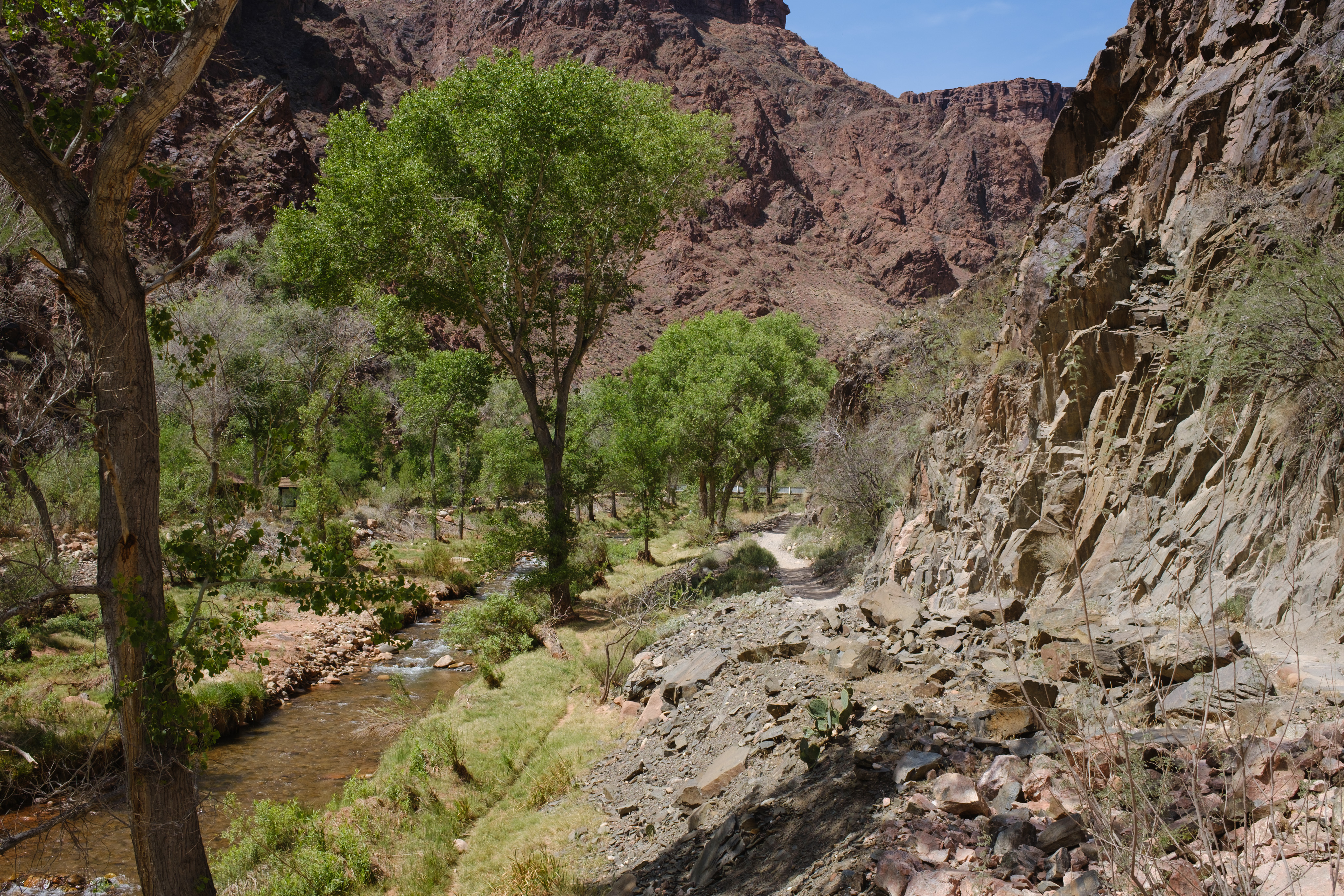
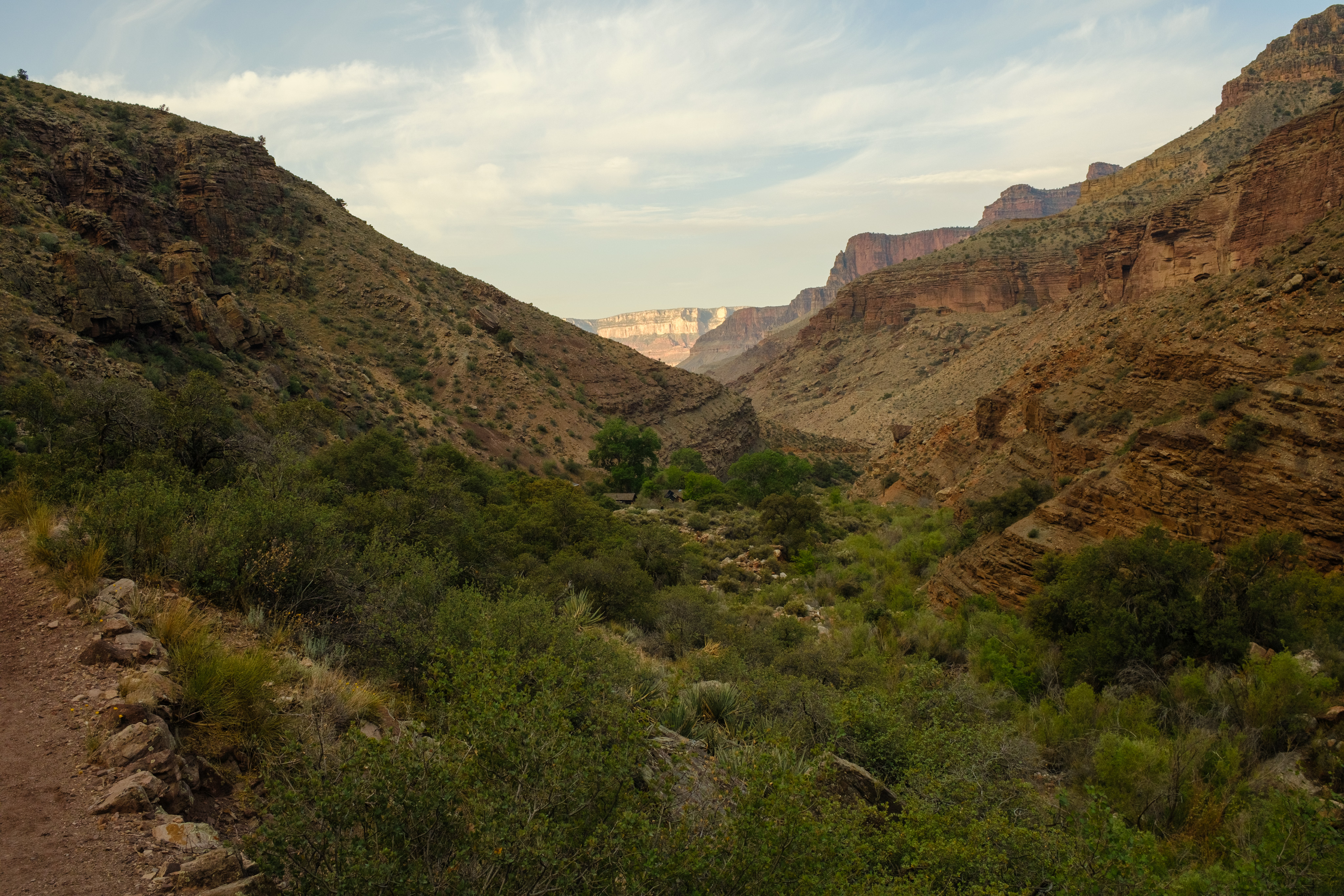
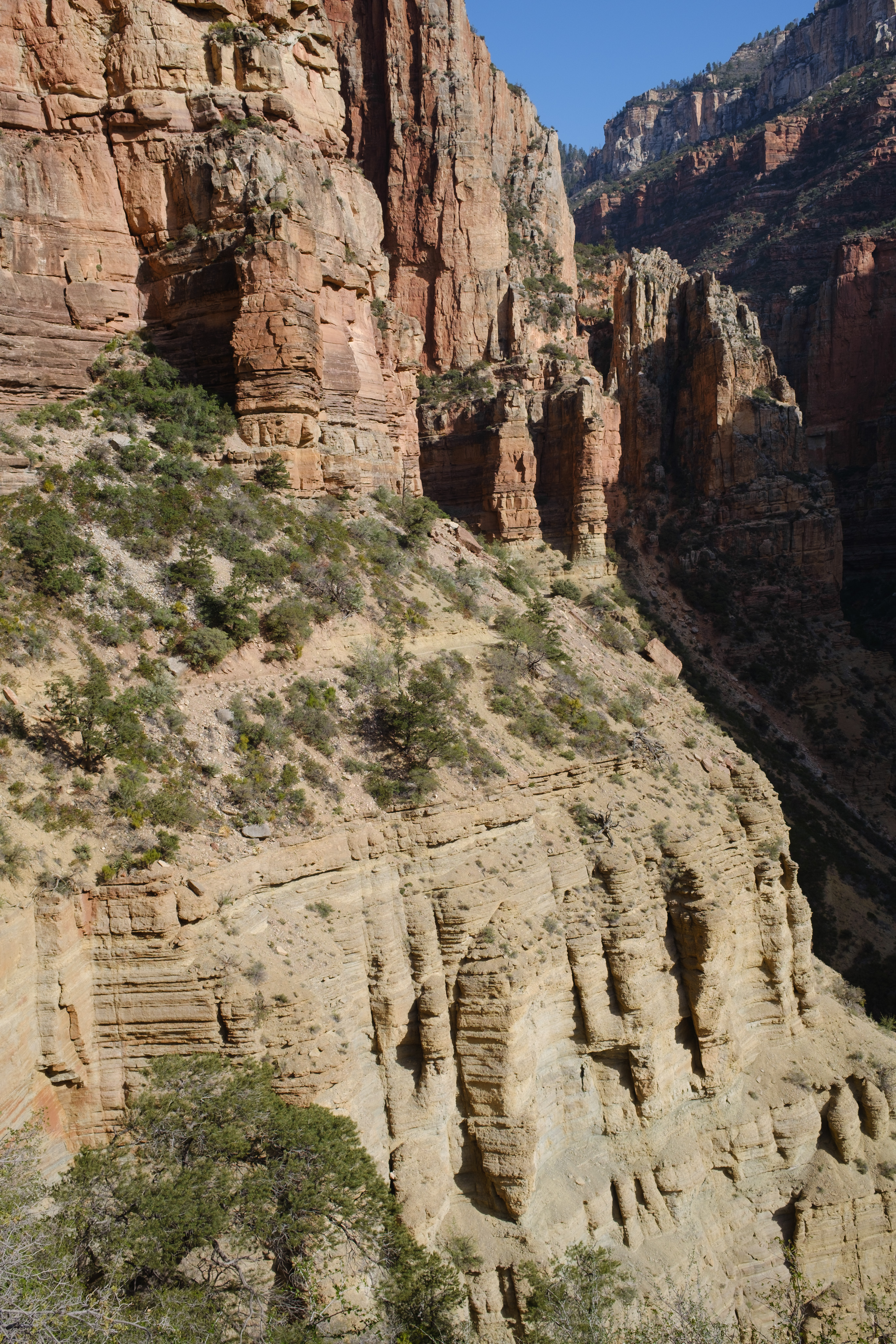
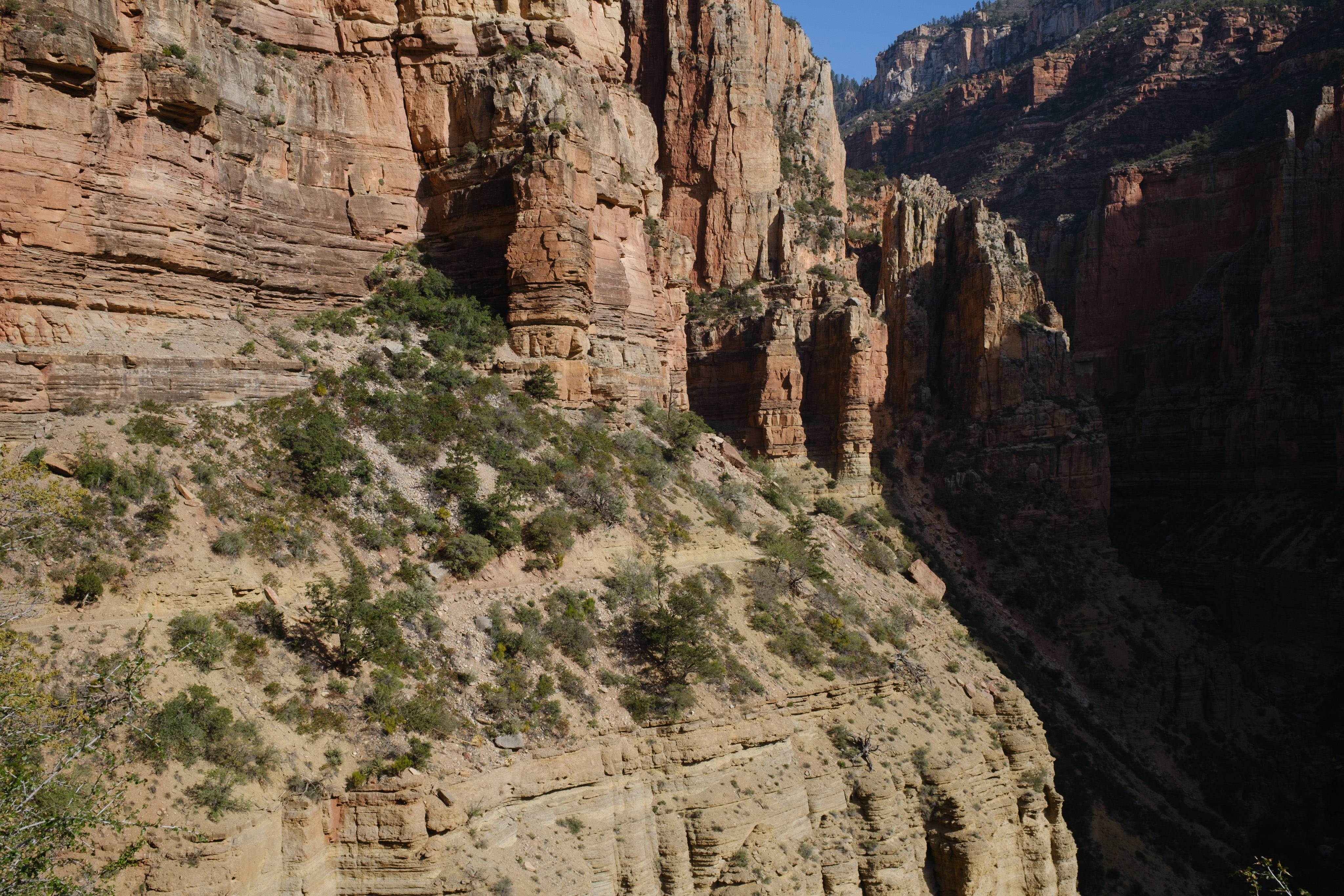
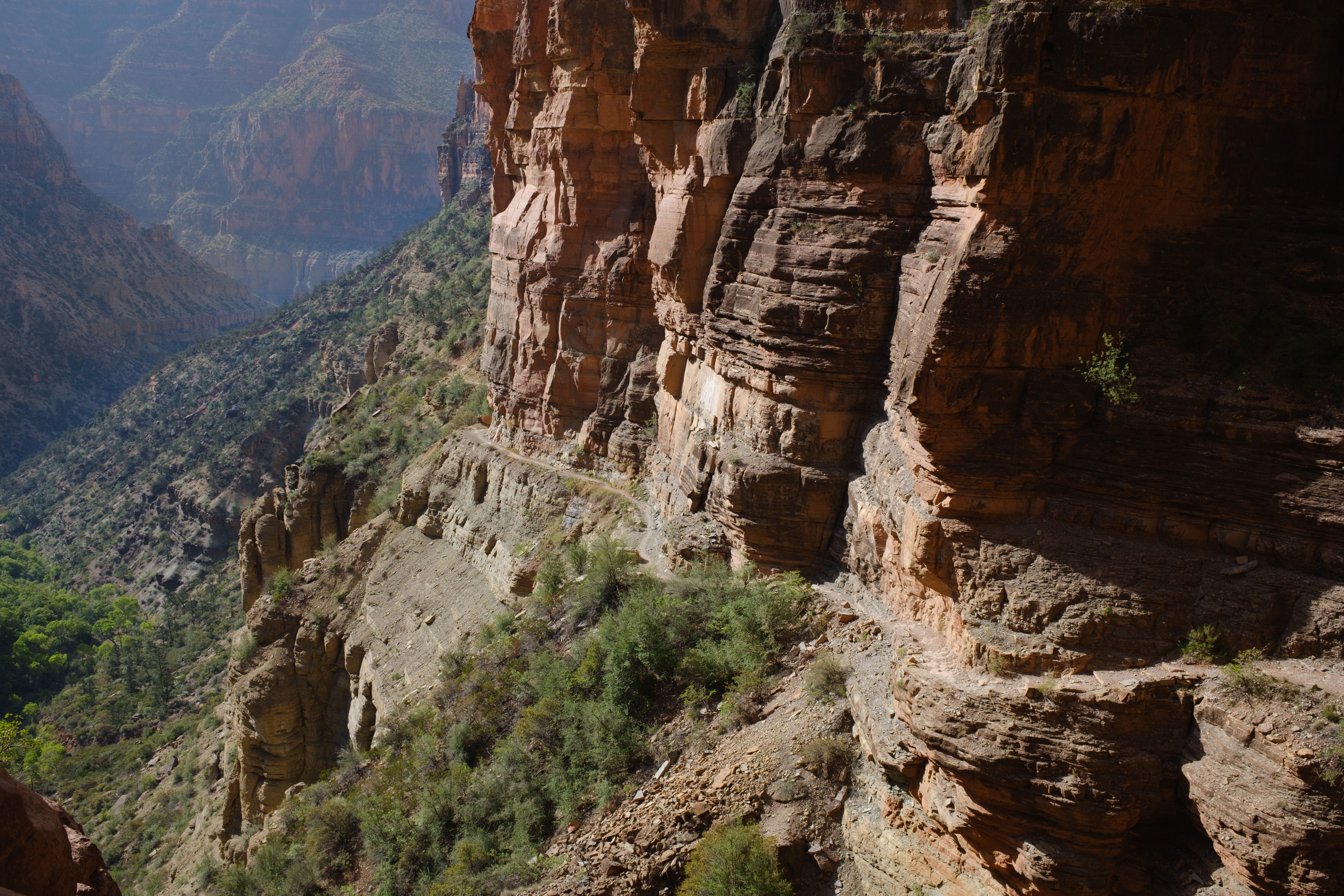
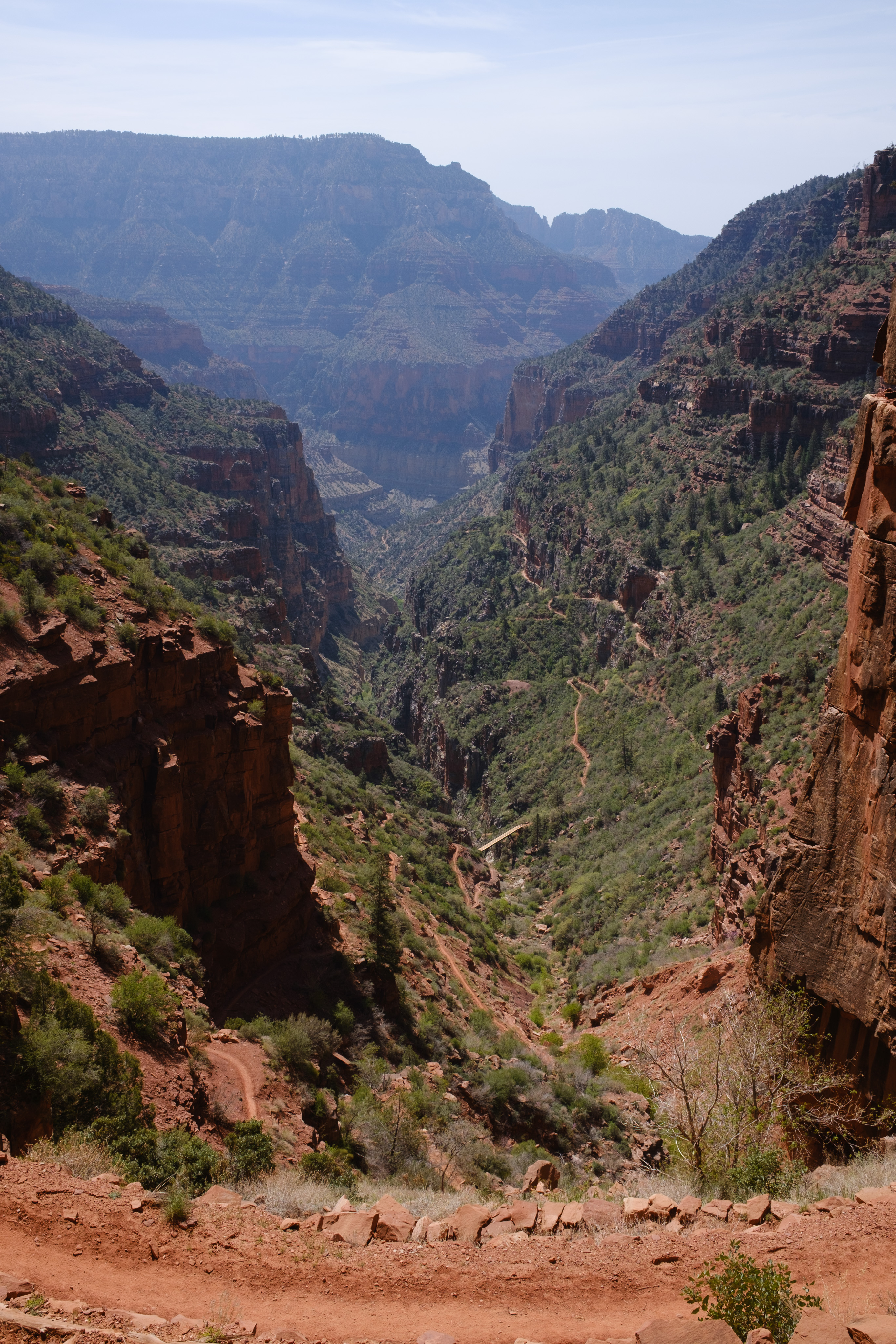
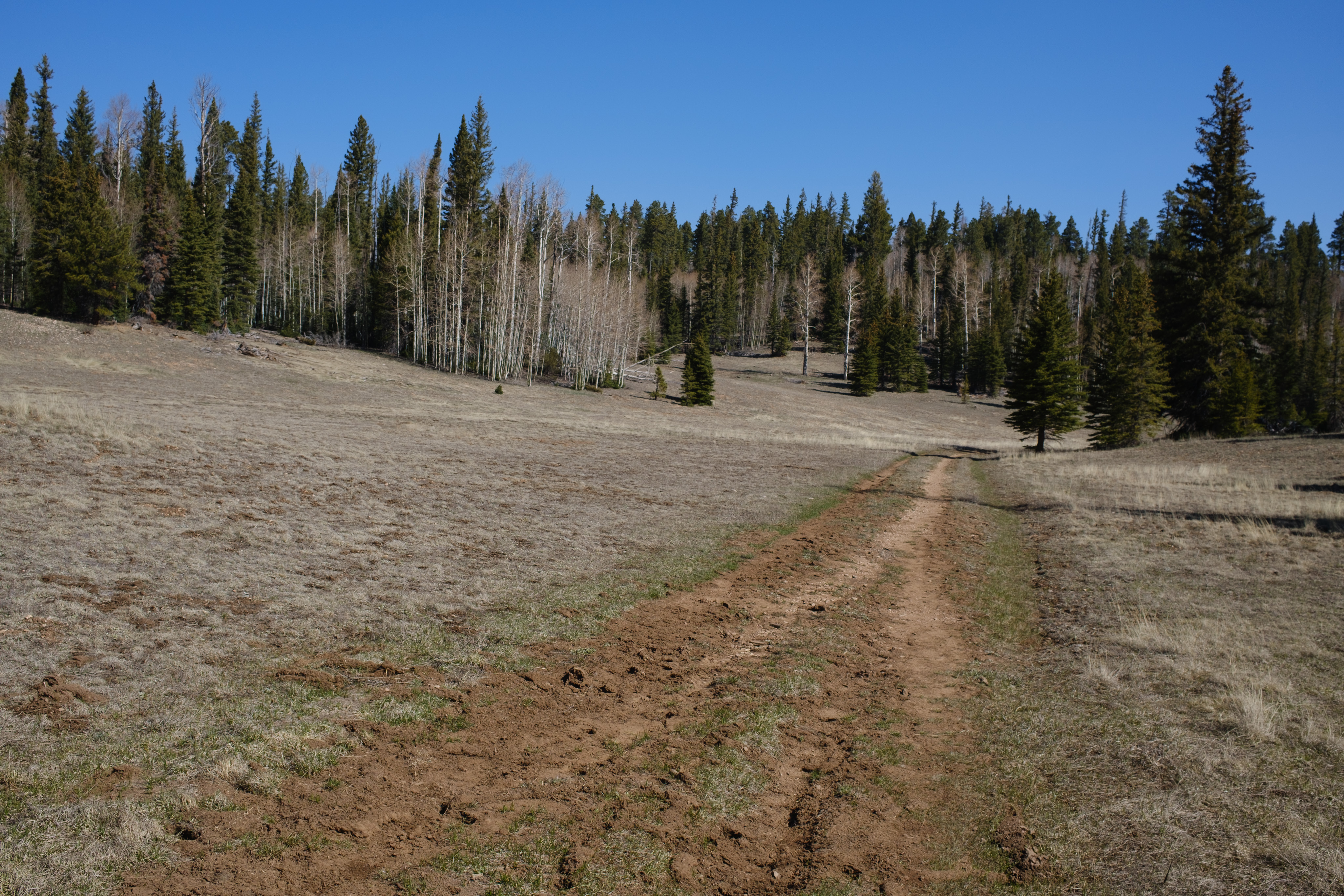
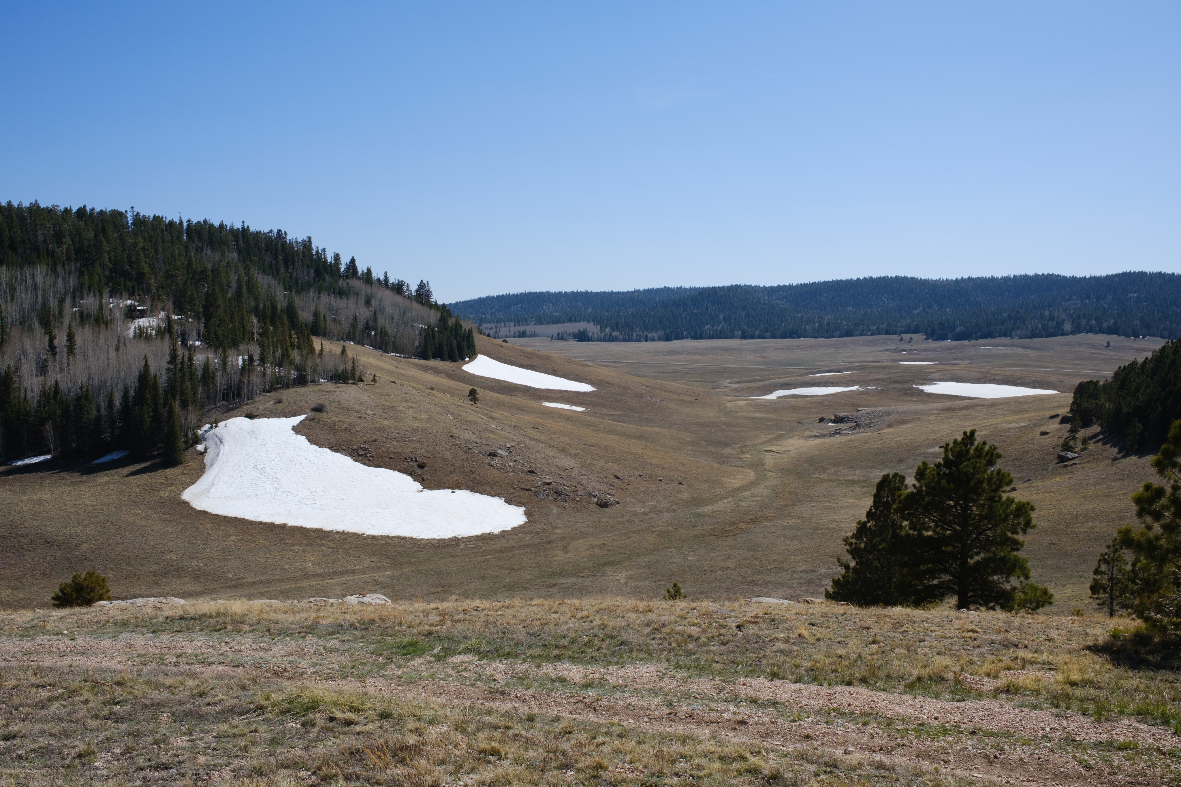
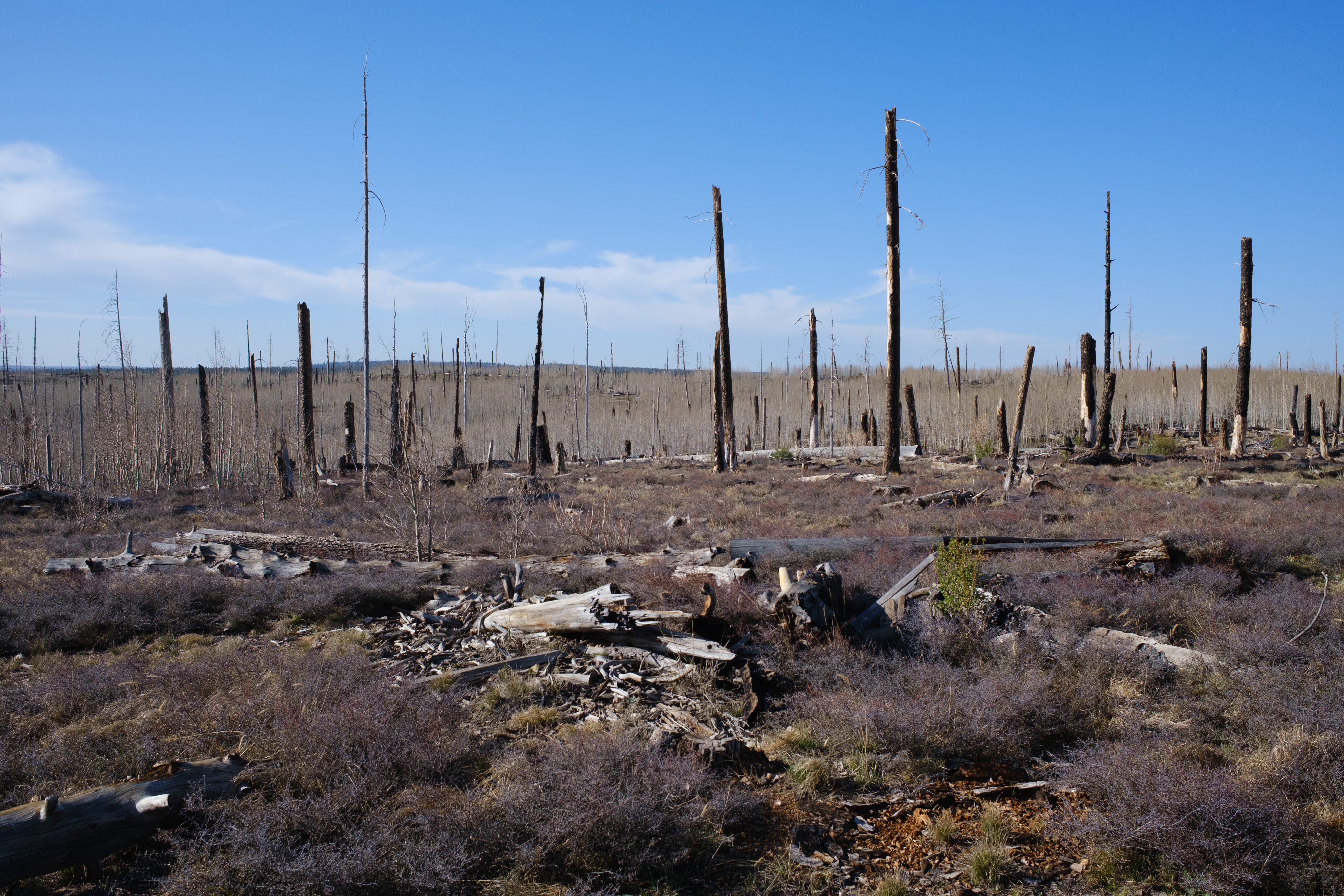
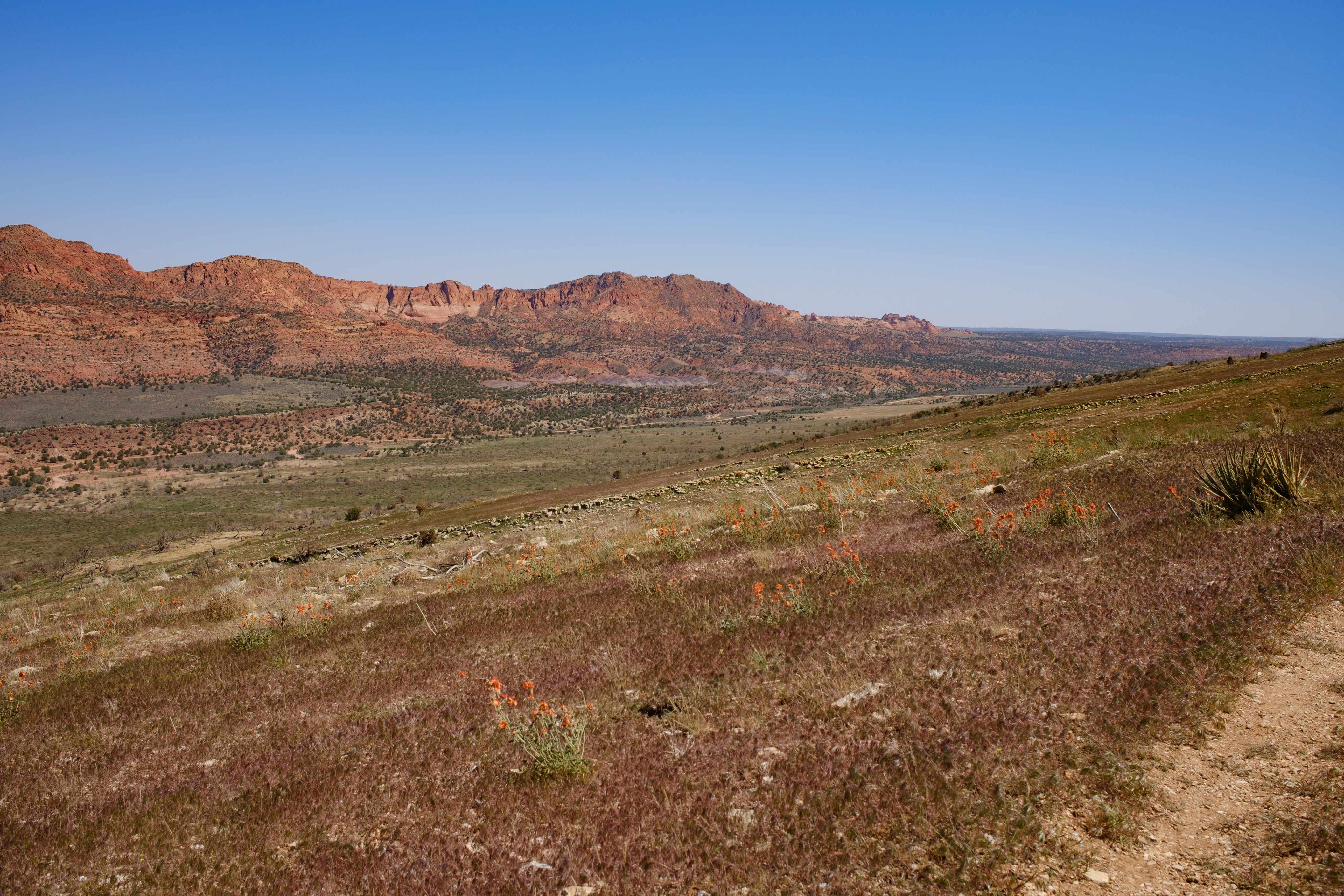
At the Pine TrailheadMogollon RimTaking refuge from the wind on the lee side of the pit toiletTypical water source — brown waterDeluxe gate with bike rolloverJuniper woodlandMore brown waterPonderosa pines near Mormon LakeCowboy campingRailroad bed between Mormon Lake and FlagstaffFirst view of Humphreys PeakSan Francisco Peaks in the distanceSan Francisco Peaks in the distance from Anderson MesaWater cache at the base of a ponderosaSix days of foodThe San Francisco Peaks beyond the Alfa Fia TankAspen grove on the flank of the San Francisco PeaksSnow on the flank of the San Francisco PeaksThe San Francisco Peaks from the northSan Francisco PeaksEast Cedar TankOpen grassland south of the Grand CanyonAnimal drinkerGrand CanyonCedar Ridge and O'Neill Butte on the South Kaibab TrailMule train on the South Kaibab TrailStone steps and switchbacks on the South Kaibab TrailFirst view of the Colorado RiverSwitchbacks down to the Colorado RiverThe Colorado River near Phantom RanchThe tunnel onto the Black Bridge across the Colorado RiverBright Angel CreekCottonwoods along Bright Angel CreekEarly morning on the North Kaibab TrailCliffs along the North Kaibab TrailClimbing toward the North RimThe trail cut into the cliff faceLooking back down the North Kaibab TrailKaibab PlateauSnowbanks in a Kaibab Plateau meadowFire burn area on the Kaibab PlateauUtah!At the northern terminus of the Arizona Trail